
| Distance / Altitude | Location | Report Date / Time | Live Weather | Wind | Gusts | Temp. | Visibility | Cloud |
|---|---|---|---|---|---|---|---|---|
| 20 km SW / 1 m | Southgate wx (United Kingdom) | 2025-12-25 07:09 local (2025/12/25 07:09 GMT) | dry | moderate winds from the NNE (23 km/h at 12) | 3°C | - | - - 0 | |
| 22 km WSW / 66 m | Llethryd Barns (United Kingdom) | 2025-12-25 07:00 local (2025/12/25 07:00 GMT) | - | moderate winds from the NNE (24 km/h at 15) | 2°C | - | - - 0 | |
| 33 km SW / 72 m | Rhossili wx (United Kingdom) | 2025-12-25 05:07 local (2025/12/25 05:07 GMT) | dry | - (- km/h at ) | — | - | - - 0 | |
| 36 km SE / 49 m | St.Athan (United Kingdom) | 2025-12-25 07:00 local (2025/12/25 07:00 GMT) | - | wind obs. (9 kph from 160 degs) was rejected (- km/h at -) | 3°C | 35 | - clear - | |
| 37 km SE / 49 m | St Athan (United Kingdom) | 2025-12-25 06:00 local (2025/12/25 06:00 GMT) | - | light winds from the SSE (9 km/h at 160) | — | 35 | - | |
| 37 km ESE / 80 m | Llantrithyd Park (United Kingdom) | 2025-12-25 07:00 local (2025/12/25 07:00 GMT) | - | near gales from the NNE (54 km/h at 31) | 3°C | - | - - 0 | |
| 39 km W / 216 m | Pembrey Sands (United Kingdom) | 2025-12-25 07:00 local (2025/12/25 07:00 GMT) | Dry and partly cloudy | fresh winds from the NE (31 km/h at 50) | 3°C | 45 km | no cloud clear - | |
| 39 km W / 216 m | Pembrey Sands Airport (United Kingdom) | 2025-12-25 06:00 local (2025/12/25 06:00 GMT) | Dry and partly cloudy | fresh winds from the ENE (31 km/h at 60) | 3°C | 45 km | no cloud clear - | |
| 43 km SE / 209 m | Cardiff-Wales Airport (United Kingdom) | 2025-12-25 06:20 local (2025/12/25 06:20 GMT) | Dry and partly cloudy | strong winds from the NE (44 km/h at 50) | 3°C | 10.0 | no cloud | |
| 50 km NNE / 307 m | SennybridgeNO2 (United Kingdom) | 2025-12-25 07:00 local (2025/12/25 07:00 GMT) | Snow | light winds from the NNE (15 km/h at 30) | 1°C | 45 km | - clear - |
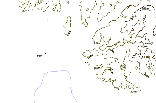
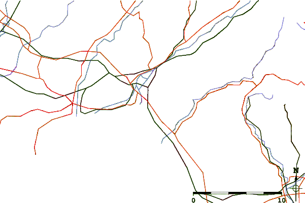
| Contours: | Roads & Rivers: | Select a
tide station / surf break / city |
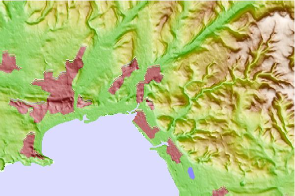
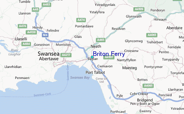
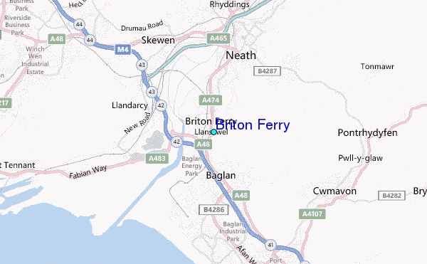
Use this relief map to navigate to tide stations, surf breaks and cities that are in the area of Briton Ferry.
Other Nearby Locations' tide tables and tide charts to Briton Ferry:
click location name for more details
 Surf breaks close to Briton Ferry:
|
||
|---|---|---|
| Closest surf break | Aberavon | 2 mi |
| Second closest surf break | Morfa Mawr | 4 mi |
| Third closest surf break | Swansea Bay Harbour Wall | 5 mi |
| Fourth closest surf break | Kenfig Sands | 9 mi |
| Fifth closest surf break | Crab Island | 9 mi |


 Nearest
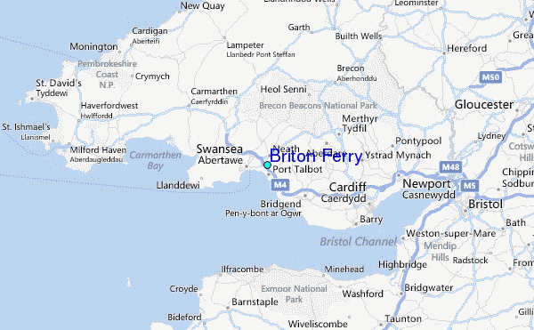