
| Distance / Altitude | Location | Report Date / Time | Live Weather | Wind | Gusts | Temp. | Visibility | Cloud |
|---|---|---|---|---|---|---|---|---|
| 2 km N / 219 m | Brookings Airport (OR) (United States) | 2025-12-20 19:56 local (2025/12/21 03:56 GMT) | Light rain | light winds from the N (7 km/h at 1) | 7°C | 16 | broken overcast | |
| 25 km S / 3 m | St Georges Buoy (Marine) | 2025-12-20 21:30 local (2025/12/21 05:30 GMT) | light winds from the E (14 km/h at 90) | 9°C | - | |||
| 29 km S / - m | SHIP402 (ocean) | 2025-12-20 20:00 local (2025/12/21 04:00 GMT) | - | light winds from the ESE (18 km/h at 110) | 10°C | - | no observation | |
| 32 km S / 218 m | Crescent City Airport (California) | 2025-12-20 19:56 local (2025/12/21 03:56 GMT) | Light rain | light winds from the E (7 km/h at 100) | 8°C | 11 | broken overcast | |
| 34 km SSE / 3 m | BUOY-CECC1 (Marine) | 2025-12-20 21:00 local (2025/12/21 05:00 GMT) | light winds from the N (8 km/h at 10) | 8°C | - | |||
| 29 km S / - m | SHIP101 (ocean) | 2025-12-20 21:00 local (2025/12/21 05:00 GMT) | - | light winds from the ESE (18 km/h at 110) | 9°C | - | no observation | |
| 29 km S / - m | SHIP926 (ocean) | 2025-12-20 21:00 local (2025/12/21 05:00 GMT) | - | light winds from the ESE (18 km/h at 110) | 9°C | - | no observation | |
| 29 km S / - m | SHIP722 (ocean) | 2025-12-20 21:00 local (2025/12/21 05:00 GMT) | - | light winds from the E (14 km/h at 100) | 9°C | - | no observation | |
| 29 km S / - m | SHIP1311 (ocean) | 2025-12-20 21:00 local (2025/12/21 05:00 GMT) | - | light winds from the ESE (14 km/h at 110) | 9°C | - | no observation | |
| 29 km S / - m | SHIP245 (ocean) | 2025-12-20 21:00 local (2025/12/21 05:00 GMT) | - | light winds from the ESE (14 km/h at 110) | 9°C | - | no observation |
| Contours: | Roads & Rivers: | Select a
tide station / surf break / city |
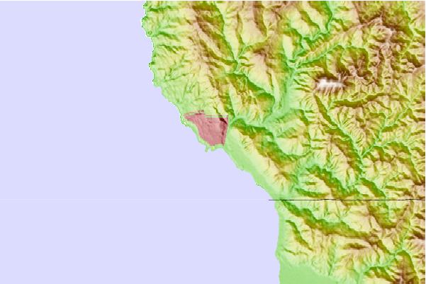
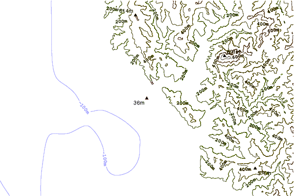
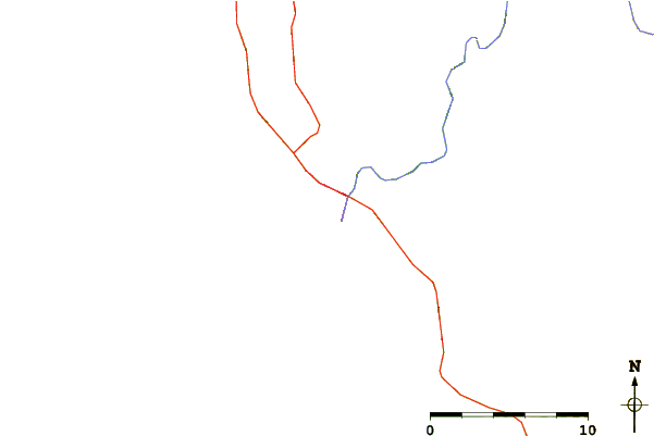
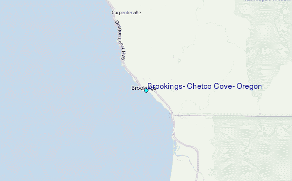
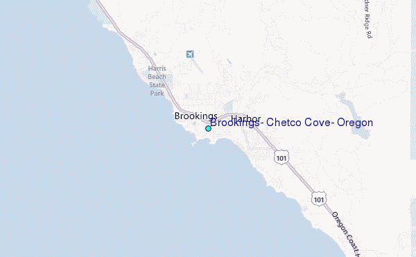
Use this relief map to navigate to tide stations, surf breaks and cities that are in the area of Brookings, Chetco Cove, Oregon.
Other Nearby Locations' tide tables and tide charts to Brookings, Chetco Cove, Oregon:
click location name for more details
 Surf breaks close to Brookings, Chetco Cove, Oregon:
|
||
|---|---|---|
| Closest surf break | Brookings/South Jetty | 1 mi |
| Second closest surf break | State Line | 2 mi |
| Third closest surf break | Rainbow Rocks | 2 mi |
| Fourth closest surf break | Smith River and Kellogg Rd | 10 mi |
| Fifth closest surf break | Point St George | 19 mi |


 Nearest
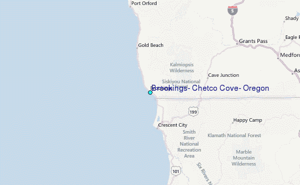