
| Distance / Altitude | Location | Report Date / Time | Live Weather | Wind | Gusts | Temp. | Visibility | Cloud |
|---|---|---|---|---|---|---|---|---|
| 0 km WNW / 3 m | BUOY-HBXC1 (Marine) | 2026-06-08 22:45 local (2026/06/09 05:45 GMT) | - (- km/h at -) | — | - | |||
| 2 km SW / 3 m | BUOY-HBYC1 (Marine) | 2026-06-08 22:36 local (2026/06/09 05:36 GMT) | - (- km/h at -) | — | - | |||
| 3 km ESE / 43 m | Eureka (California) | 2026-06-08 23:49 local (2026/06/09 06:49 GMT) | dry | calm (5 km/h at 232) | 13°C | - | - - 0 | |
| 4 km SW / 3 m | BUOY-NJLC1 (Marine) | 2026-06-08 23:18 local (2026/06/09 06:18 GMT) | moderate winds from the WSW (21 km/h at 240) | — | - | |||
| 13 km S / 122 m | Fortuna (California) | 2026-06-08 22:35 local (2026/06/09 05:35 GMT) | Dry and cloudy | calm (0 km/h at 0) | 14°C | 5 | scattered overcast | |
| 19 km WNW / 3 m | Humboldt Bay- North Spit- CA (Marine) | 2026-06-08 23:26 local (2026/06/09 06:26 GMT) | - (- km/h at -) | — | - | |||
| 24 km NNE / 218 m | Arcata/Eureka Airport (California) | 2026-06-08 22:37 local (2026/06/09 05:37 GMT) | Light rain | light winds from the SSW (17 km/h at 210) | 13°C | 1 | ||
| 24 km SSE / 60 m | Fortuna (California) | 2026-06-08 22:01 local (2026/06/09 05:01 GMT) | dry | calm (0 km/h at 322) | 16°C | - | - - 0 | |
| 27 km SW / - m | SHIP527 (ocean) | 2026-06-08 22:00 local (2026/06/09 05:00 GMT) | - | moderate winds from the S (22 km/h at 190) | 12°C | - | no observation | |
| 27 km SW / - m | SHIP685 (ocean) | 2026-06-08 23:00 local (2026/06/09 06:00 GMT) | - | light winds from the S (14 km/h at 190) | 12°C | - | no observation |
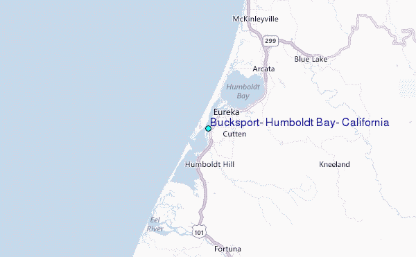
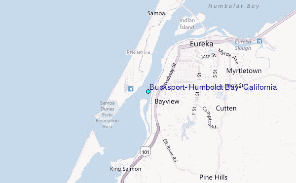
Choose Bucksport, Humboldt Bay, California Location Map Zoom:
| Contours: | Roads & Rivers: | Select a
tide station / surf break / city |
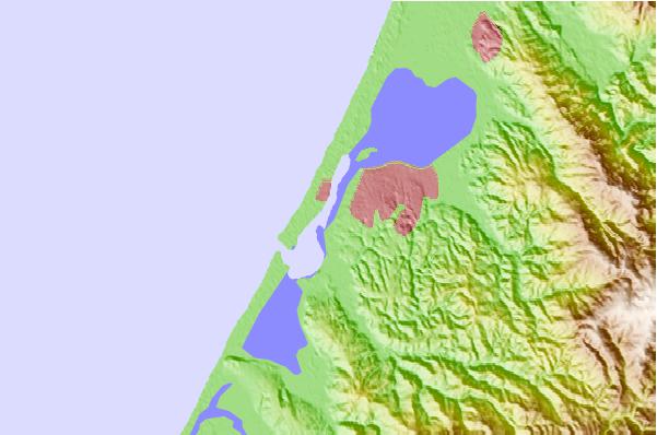
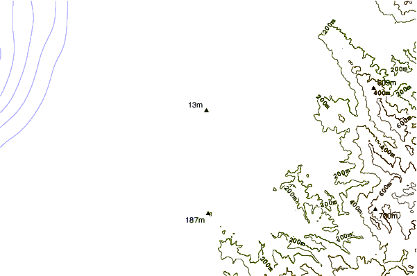
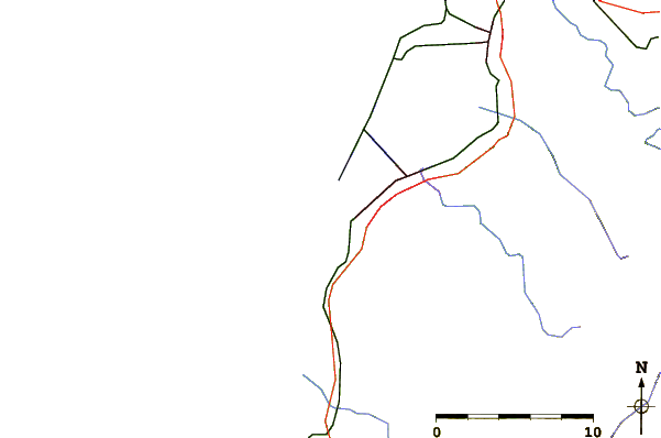
Use this relief map to navigate to tide stations, surf breaks and cities that are in the area of Bucksport, Humboldt Bay, California.
Other Nearby Locations' tide tables and tide charts to Bucksport, Humboldt Bay, California:
click location name for more details
 Surf breaks close to Bucksport, Humboldt Bay, California:
|
||
|---|---|---|
| Closest surf break | Bunkers | 2 mi |
| Second closest surf break | Harbor Entrance at Eureka | 2 mi |
| Third closest surf break | North Jetty at Eureka | 2 mi |
| Fourth closest surf break | Samoa Peninsula | 2 mi |
| Fifth closest surf break | South Jetty Table Bluff | 3 mi |


 Nearest
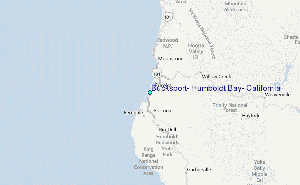