
| Distance / Altitude | Location | Report Date / Time | Live Weather | Wind | Gusts | Temp. | Visibility | Cloud |
|---|---|---|---|---|---|---|---|---|
| 4 km ENE / 34 m | Lima Jorge Chávez International Airport (Peru) | 2025-12-24 19:00 local (2025/12/25 00:00 GMT) | - | moderate winds from the S (20 km/h at 170) | — | 0.0 | ||
| 23 km ESE / 361 m | La Molina wx (Peru) | 2025-12-24 20:37 local (2025/12/25 01:37 GMT) | dry | calm (0 km/h at 90) | 21°C | - | - - 0 | |
| 186 km E / 3812 m | Jauja Airport (Peru) | 2025-12-24 18:00 local (2025/12/24 23:00 GMT) | Dry and partly cloudy | fresh winds from the NNW (31 km/h at 330) | 17°C | 10.0 | few scattered broken | |
| 193 km NE / 4546 m | lightning 18km NE of Cerro de Pasco (Peru) | 2025-12-24 18:30 local (2025/12/24 23:30 GMT) | Thunderstorm | (- km/h at -) | — | |||
| 214 km SSE / 7 m | Pisco (Peru) | 2025-12-24 19:00 local (2025/12/25 00:00 GMT) | State of sky unchanged | moderate winds from the SSW (28 km/h at 210) | — | 0.0 | - clear - | |
| 341 km ESE / 2747 m | Ayacucho/Coronel FAP Alfredo Mendívil Duarte Airport (Peru) | 2025-12-24 18:00 local (2025/12/24 23:00 GMT) | Dry and partly cloudy | wind obs. (85 kph from 340 degs) was rejected (- km/h at -) | 24°C | 10.0 | broken | |
| 482 km NW / 215 m | Trujillo Airport (Peru) | 2025-12-24 19:00 local (2025/12/25 00:00 GMT) | Dry and partly cloudy | light winds from the SSE (13 km/h at 150) | 19°C | 8.0 | no significant cloud | |
| 489 km NE / 22 m | Pucallpa Airport (Peru) | 2025-12-24 19:00 local (2025/12/25 00:00 GMT) | Dry and partly cloudy | light winds from the N (7 km/h at 10) | 30°C | 10.0 | scattered | |
| 563 km NW / 2934 m | Cajamarca/Major General FAP Armando Revoredo Iglesias Airport (Peru) | 2025-12-24 18:00 local (2025/12/24 23:00 GMT) | - | wind obs. (9 kph from 1 degs) was rejected (- km/h at -) | 16°C | 10.0 | few | |
| 587 km ESE / 3533 m | Cuzco/Velazco Astete Airport (Peru) | 2025-12-24 19:30 local (2025/12/25 00:30 GMT) | Dry and partly cloudy | wind obs. (7 kph from 50 degs) was rejected (- km/h at -) | 14°C | 10.0 | no significant cloud |
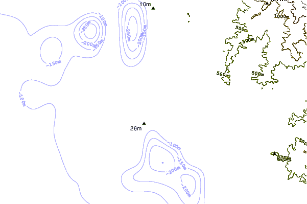
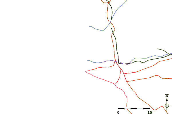
| Contours: | Roads & Rivers: | Select a
tide station / surf break / city |
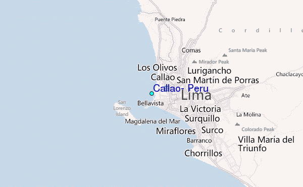
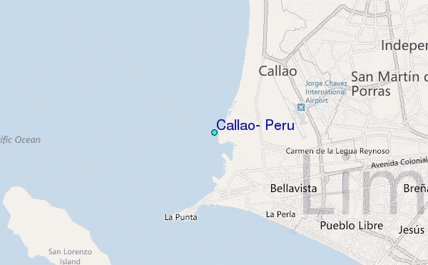
Use this relief map to navigate to tide stations, surf breaks and cities that are in the area of Callao, Peru.
Other Nearby Locations' tide tables and tide charts to Callao, Peru:
click location name for more details
 Surf breaks close to Callao, Peru:
|
||
|---|---|---|
| Closest surf break | Punta Perfection | 2 mi |
| Second closest surf break | El Camotal | 4 mi |
| Third closest surf break | El Cabezo | 7 mi |
| Fourth closest surf break | Pampilla | 9 mi |
| Fifth closest surf break | Punta Roquitas | 9 mi |


 Nearest
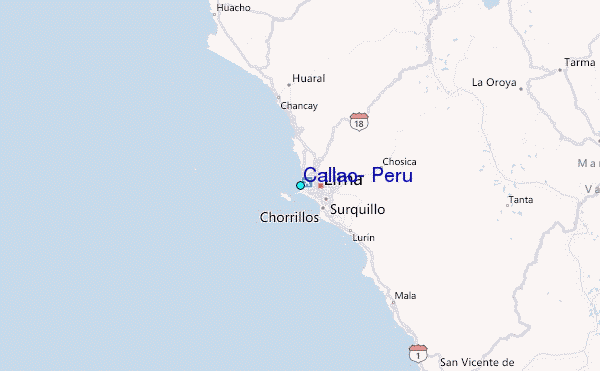