
| Distance / Altitude | Location | Report Date / Time | Live Weather | Wind | Gusts | Temp. | Visibility | Cloud |
|---|---|---|---|---|---|---|---|---|
| 13 km N / 12 m | Cam Ranh Bay Airport (Viet nam) | 2024-05-08 06:30 local (2024/05/07 23:30 GMT) | - | light winds from the N (9 km/h at 360) | 29°C | 10.0 | few | |
| 41 km N / 218 m | Nha Trang (Viet-nam) | 2024-05-08 07:00 local (2024/05/08 00:00 GMT) | Clouds developing | calm (4 km/h at 250) | 27°C | 40 km | mostly cloudy | |
| 150 km WNW / 537 m | Ban Me Thuot East Airfield (Viet-nam) | 2024-05-08 07:00 local (2024/05/08 00:00 GMT) | - | calm (0 km/h at 0) | 24°C | 40 km | mostly cloudy | |
| 160 km SSW / 219 m | Phan Thiet (Viet-nam) | 2024-05-08 07:00 local (2024/05/08 00:00 GMT) | - | light winds from the NNE (7 km/h at 20) | 29°C | 20 km | mostly cloudy | |
| 208 km N / 219 m | Quy Nhon (Viet-nam) | 2024-05-08 07:00 local (2024/05/08 00:00 GMT) | - | calm (4 km/h at 290) | 29°C | 40 km | mostly cloudy |
| Contours: | Roads & Rivers: | Select a
tide station / surf break / city |
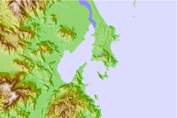
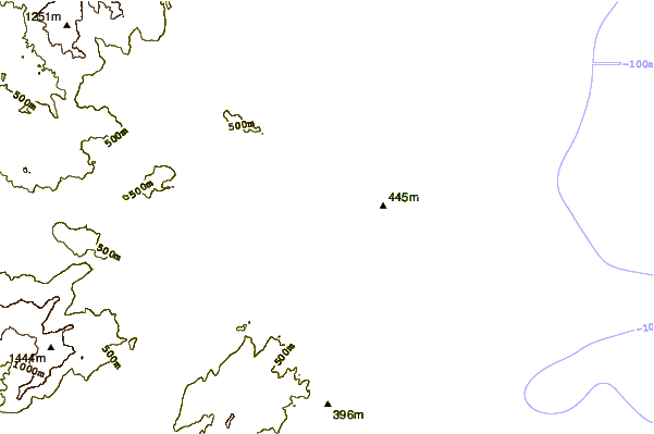
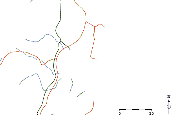
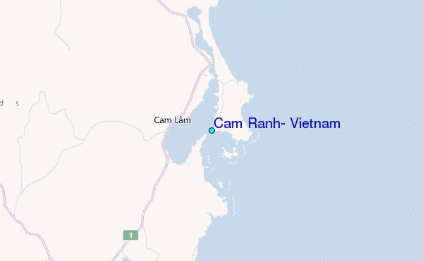
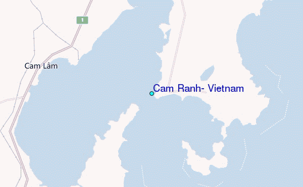
Use this relief map to navigate to tide stations, surf breaks and cities that are in the area of Cam Ranh, Vietnam.
Other Nearby Locations' tide tables and tide charts to Cam Ranh, Vietnam:
click location name for more details
 Surf breaks close to Cam Ranh, Vietnam:
|
||
|---|---|---|
| Closest surf break | Bai Dai Nha Trang | 16 mi |
| Second closest surf break | Dark Reef | 19 mi |
| Third closest surf break | Mui Ne | 90 mi |
| Fourth closest surf break | Vung Tau (Back Beach) | 178 mi |
| Fifth closest surf break | Cue Dai Beach | 283 mi |

 Nearest
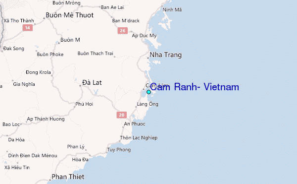