
| Distance / Altitude | Location | Report Date / Time | Live Weather | Wind | Gusts | Temp. | Visibility | Cloud |
|---|---|---|---|---|---|---|---|---|
| 94 km SSE / 285 m | Akulivik Airport (Quebec) | 2024-04-25 17:00 local (2024/04/25 21:00 GMT) | Light snow | light winds from the WSW (7 km/h at 240) | -10°C | 19 | overcast | |
| 180 km ENE / 251 m | Salliut Airport (Quebec) | 2024-04-25 17:00 local (2024/04/25 21:00 GMT) | Dry and partly cloudy | moderate winds from the W (26 km/h at 260) | -12°C | 16 | broken | |
| 193 km SSE / 339 m | Puvirnituq Airport (Quebec) | 2024-04-25 18:00 local (2024/04/25 22:00 GMT) | Clear | light winds from the SSW (7 km/h at 200) | -11°C | 14 | ||
| 279 km E / 503 m | Parc National Des Pingualuit- Que (Canada) | 2024-04-25 18:00 local (2024/04/25 22:00 GMT) | no report | moderate winds from the NW (24 km/h at 310) | -15°C | - | - no observation - | |
| 317 km NNE / 217 m | Cape Dorset Airport (N.w. Territories) | 2024-04-25 18:00 local (2024/04/25 22:00 GMT) | Light snow | moderate winds from the W (20 km/h at 280) | -12°C | 14 | overcast |

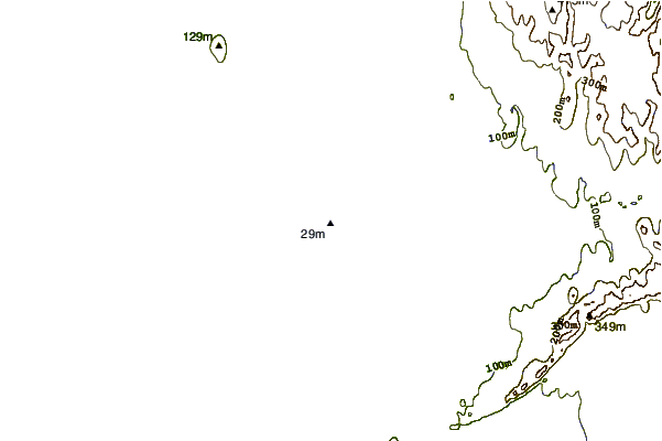
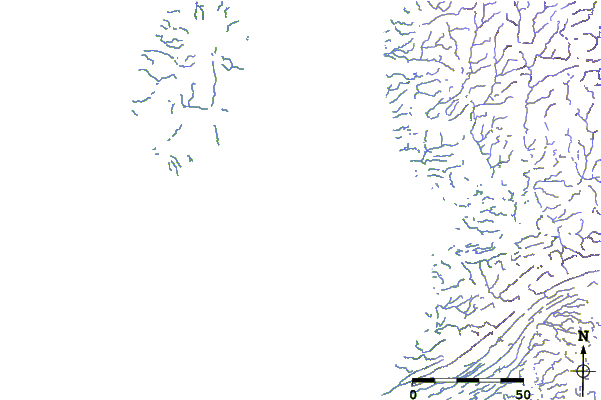
| Contours: | Roads & Rivers: | Select a
tide station / surf break / city |
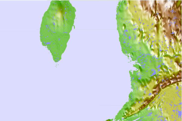
Use this relief map to navigate to tide stations, surf breaks and cities that are in the area of Cape Acadia, Quebec.
Other Nearby Locations' tide tables and tide charts to Cape Acadia, Quebec:
click location name for more details
 Surf breaks close to Cape Acadia, Quebec:
|
||
|---|---|---|
| Closest surf break | Marathon | 937 mi |
| Second closest surf break | Alona Bay | 1023 mi |
| Third closest surf break | Keweenaw Peninsula | 1043 mi |
| Fourth closest surf break | Au Sable Point | 1070 mi |
| Fifth closest surf break | Grand Marias | 1070 mi |

 Nearest
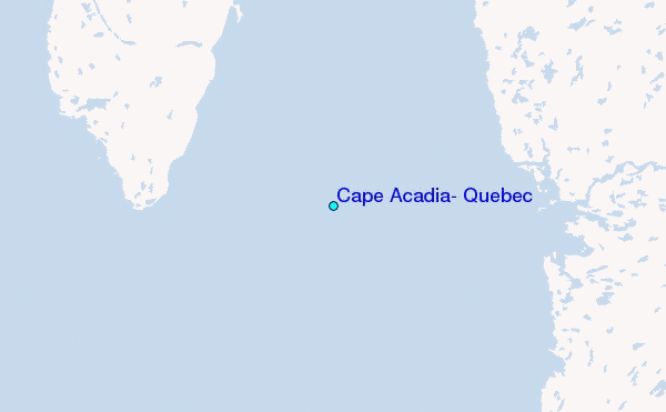