
| Distance / Altitude | Location | Report Date / Time | Live Weather | Wind | Gusts | Temp. | Visibility | Cloud |
|---|---|---|---|---|---|---|---|---|
| 491 km ENE / 2 m | Penrhyn Island (Samoa) | 2024-04-26 14:00 local (2024/04/26 04:00 GMT) | - | light winds from the NE (9 km/h at 50) | 28°C | |||
| 668 km ENE / 484 m | Honiara/Henderson Airport (Solomon Islands) | 2024-04-26 14:00 local (2024/04/26 04:00 GMT) | - | light winds from the NNE (11 km/h at 20) | 32°C | 10.0 | few few broken | |
| 675 km S / 0 m | Lihou Reef Lighthouse (Australia) | 2024-04-26 15:00 local (2024/04/26 05:00 GMT) | No report | moderate winds from the SSE (28 km/h at 150) | 27°C | - | - no observation - | |
| 714 km SSW / 472 m | Willis Island (Australia) | 2024-04-26 15:00 local (2024/04/26 05:00 GMT) | no report | fresh winds from the SE (33 km/h at 130) | 28°C | - | - no observation - | |
| 804 km W / 359 m | Port Moresby International Airport (Papua New Guinea) | 2024-04-26 14:00 local (2024/04/26 04:00 GMT) | Dry and partly cloudy | light winds from the SSE (19 km/h at 160) | 32°C | 10.0 | scattered |
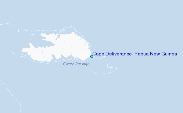
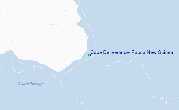
Choose Cape Deliverance, Papua New Guinea Location Map Zoom:
| Contours: | Roads & Rivers: | Select a
tide station / surf break / city |
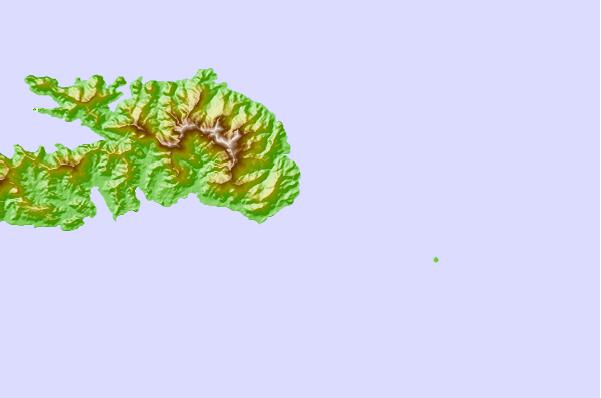
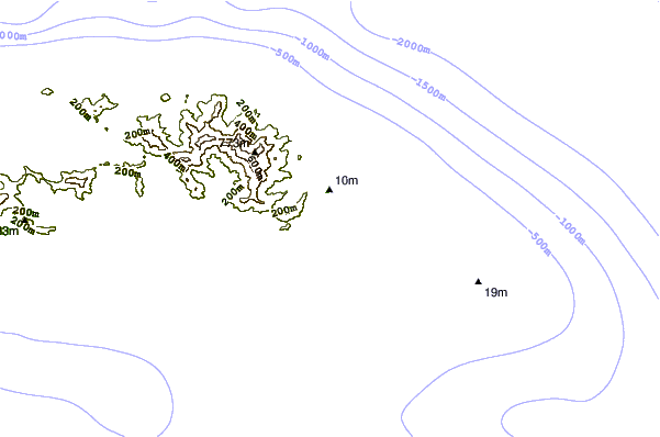
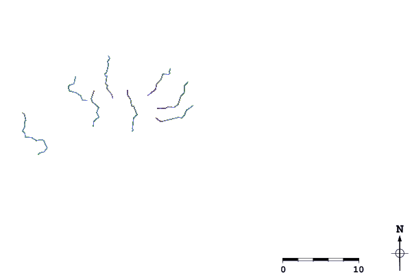
Use this relief map to navigate to tide stations, surf breaks and cities that are in the area of Cape Deliverance, Papua New Guinea.
Other Nearby Locations' tide tables and tide charts to Cape Deliverance, Papua New Guinea:
click location name for more details
 Surf breaks close to Cape Deliverance, Papua New Guinea:
|
||
|---|---|---|
| Closest surf break | Coves | 278 mi |
| Second closest surf break | Pailongge | 285 mi |
| Third closest surf break | Titiana | 286 mi |
| Fourth closest surf break | Despretes | 287 mi |
| Fifth closest surf break | Makuti | 289 mi |

 Nearest
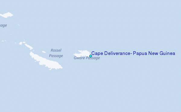