
| Distance / Altitude | Location | Report Date / Time | Live Weather | Wind | Gusts | Temp. | Visibility | Cloud |
|---|---|---|---|---|---|---|---|---|
| 81 km NNE / 171 m | Grise Fiord Air Airport (N.w. Territories) | 2024-05-08 14:00 local (2024/05/08 18:00 GMT) | - | calm (0 km/h at 0) | — | 32 | few few scattered | |
| 310 km S / 22 m | Arctic Bay Airport (Nunavut) | 2024-05-08 14:00 local (2024/05/08 18:00 GMT) | - | light winds from the W.(Wind varies from 200 to 270 degs) (15 km/h at 260) | -7°C | 24 | few | |
| 310 km S / 2 m | Arctic Bay Airport (N.w. Territories) | 2024-05-08 14:00 local (2024/05/08 18:00 GMT) | - | light winds from the WNW (17 km/h at 290) | -10°C | 0.0 | ||
| 313 km ENE / 15 m | Carey Island (Greenland) | 2024-05-08 14:00 local (2024/05/08 18:00 GMT) | no report | light winds from the N (11 km/h at 360) | -8°C | - | - - - | |
| 327 km SW / 216 m | Resolute Airport (N.w. Territories) | 2024-05-08 14:00 local (2024/05/08 18:00 GMT) | Dry and partly cloudy | light winds from the NNW.(Wind varies from 280 to 350 degs) (7 km/h at 330) | -12°C | 48 | broken |
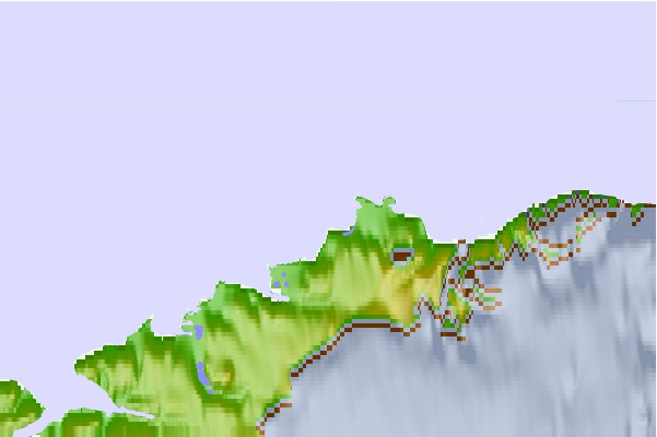
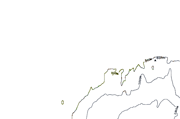
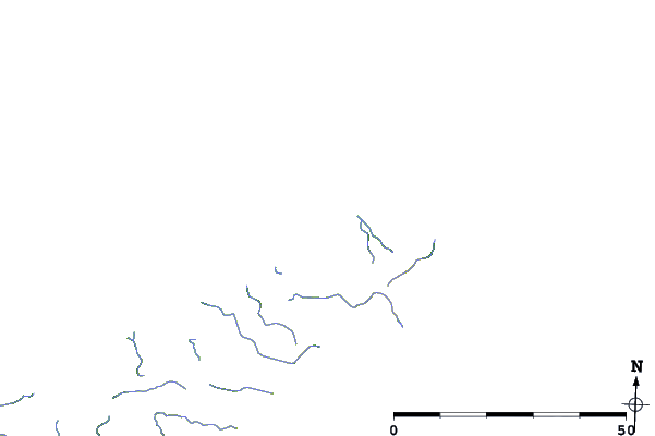
| Contours: | Roads & Rivers: | Select a
tide station / surf break / city |
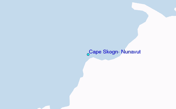
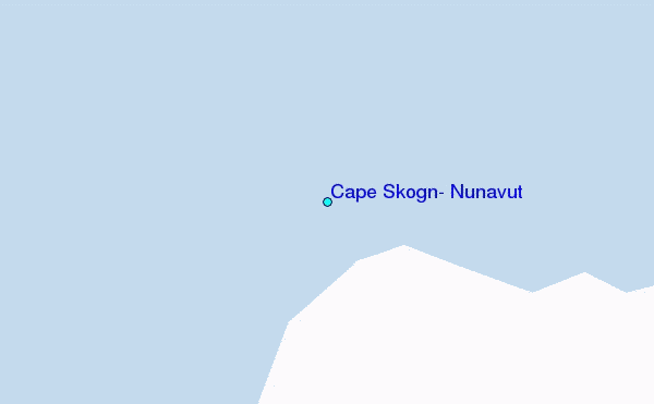
Use this relief map to navigate to tide stations, surf breaks and cities that are in the area of Cape Skogn, Nunavut.
Other Nearby Locations' tide tables and tide charts to Cape Skogn, Nunavut:
click location name for more details
 Surf breaks close to Cape Skogn, Nunavut:
|
||
|---|---|---|
| Closest surf break | Eyvik | 1550 mi |
| Second closest surf break | Garur | 1572 mi |
| Third closest surf break | Grotta | 1579 mi |
| Fourth closest surf break | Hafnir | 1580 mi |
| Fifth closest surf break | Hafnarfjordur | 1585 mi |

 Nearest
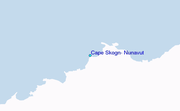