
| Distance / Altitude | Location | Report Date / Time | Live Weather | Wind | Gusts | Temp. | Visibility | Cloud |
|---|---|---|---|---|---|---|---|---|
| 5 km NE / 201 m | Cartagena/Rafael Airport (Columbia) | 2026-06-09 06:00 local (2026/06/09 11:00 GMT) | Dry and partly cloudy | wind obs. (7 kph from 170 degs) was rejected (- km/h at -) | 26°C | 10.0 | scattered | |
| 20 km SSW / 3 m | SHIP2596 (Marine) | 2026-06-09 05:00 local (2026/06/09 10:00 GMT) | - (- km/h at -) | 26°C | - | |||
| 102 km ENE / 206 m | Barranquilla/Ernesto Cortissoz International Airport (Columbia) | 2026-06-09 06:39 local (2026/06/09 11:39 GMT) | Dry and partly cloudy | calm (4 km/h at 1) | 26°C | 10.0 | scattered | |
| 166 km ENE / 96 m | Santa Marta/Simón Bolívar International Airport (Columbia) | 2026-06-09 06:00 local (2026/06/09 11:00 GMT) | Dry and partly cloudy | calm (4 km/h at 1) | 26°C | 10.0 | broken | |
| 179 km S / 89 m | Montería/Los Garzones Airport (Columbia) | 2026-06-09 06:00 local (2026/06/09 11:00 GMT) | Dry and partly cloudy | calm (0 km/h at 0) | 24°C | 6.0 | broken | |
| 20 km SSW / 3 m | SHIP7949 (Marine) | 2026-06-09 05:00 local (2026/06/09 10:00 GMT) | - (- km/h at -) | 26°C | - | |||
| 20 km SSW / 15 m | SHIP3198 (Marine) | 2026-06-09 06:00 local (2026/06/09 11:00 GMT) | - (- km/h at -) | — | - km | |||
| 20 km SSW / 3 m | SHIP6779 (Marine) | 2026-06-09 05:00 local (2026/06/09 10:00 GMT) | - (- km/h at -) | 26°C | - | |||
| 20 km SSW / 3 m | SHIP9278 (Marine) | 2026-06-09 06:00 local (2026/06/09 11:00 GMT) | - (- km/h at -) | 26°C | - | |||
| 20 km SSW / 15 m | SHIP5737 (Marine) | 2026-06-09 05:00 local (2026/06/09 10:00 GMT) | - (- km/h at -) | — | - km |
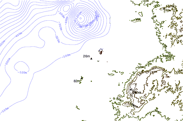
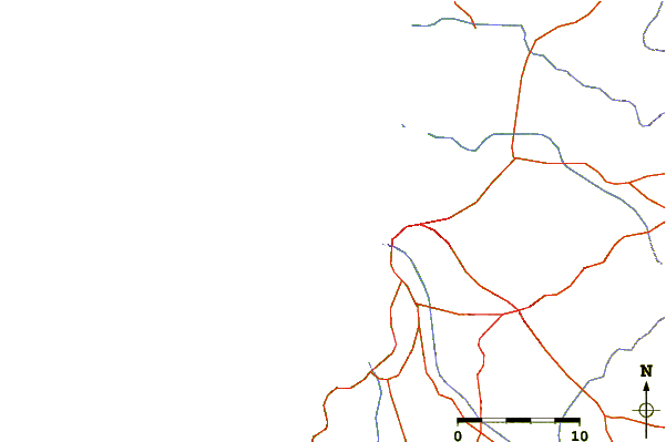
| Contours: | Roads & Rivers: | Select a
tide station / surf break / city |
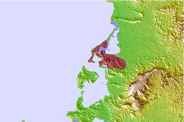
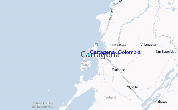
Use this relief map to navigate to tide stations, surf breaks and cities that are in the area of Cartagena, Colombia.
Other Nearby Locations' tide tables and tide charts to Cartagena, Colombia:
click location name for more details
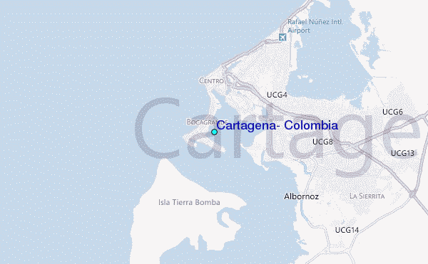
 Surf breaks close to Cartagena, Colombia:
|
||
|---|---|---|
| Closest surf break | Cartagena - Castillo Grande | 1 mi |
| Second closest surf break | Cartagena - Hilton | 1 mi |
| Third closest surf break | Cartagena - Jetty | 1 mi |
| Fourth closest surf break | Cartagena - Marbella | 4 mi |
| Fifth closest surf break | Punta Canoas | 11 mi |


 Nearest
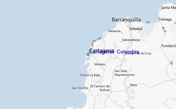