
| Distance / Altitude | Location | Report Date / Time | Live Weather | Wind | Gusts | Temp. | Visibility | Cloud |
|---|---|---|---|---|---|---|---|---|
| 602 km ENE / 15 m | ASCATB121E63S (Marine) | 2026-06-09 09:22 local (2026/06/08 22:22 GMT) | fresh winds from the SE (36 km/h at 141) | — | - km | |||
| 605 km ENE / 15 m | ASCATC122E64S (Marine) | 2026-06-09 09:50 local (2026/06/08 22:50 GMT) | strong winds from the SE (41 km/h at 133) | — | - km | |||
| 611 km ENE / 15 m | ASCATB122E63S (Marine) | 2026-06-09 09:22 local (2026/06/08 22:22 GMT) | fresh winds from the SE (38 km/h at 139) | — | - km | |||
| 613 km ENE / 15 m | ASCATC122E63S (Marine) | 2026-06-09 09:50 local (2026/06/08 22:50 GMT) | fresh winds from the SE (36 km/h at 139) | — | - km | |||
| 614 km ENE / 15 m | ASCATB122E64S (Marine) | 2026-06-09 09:22 local (2026/06/08 22:22 GMT) | strong winds from the SE (39 km/h at 137) | — | - km | |||
| 640 km ENE / 15 m | ASCATB123E64S (Marine) | 2026-06-09 09:22 local (2026/06/08 22:22 GMT) | strong winds from the SE (41 km/h at 141) | — | - km | |||
| 641 km ENE / 15 m | ASCATC123E64S (Marine) | 2026-06-09 09:50 local (2026/06/08 22:50 GMT) | strong winds from the SE (40 km/h at 143) | — | - km | |||
| 646 km ENE / 15 m | ASCATB123E63S (Marine) | 2026-06-09 09:22 local (2026/06/08 22:22 GMT) | fresh winds from the SE (38 km/h at 140) | — | - km | |||
| 648 km ENE / 15 m | ASCATC123E63S (Marine) | 2026-06-09 09:50 local (2026/06/08 22:50 GMT) | fresh winds from the SE (38 km/h at 142) | — | - km | |||
| 655 km ENE / 15 m | ASCATB124E64S (Marine) | 2026-06-09 09:22 local (2026/06/08 22:22 GMT) | strong winds from the SE (43 km/h at 139) | — | - km |

| Contours: | Roads & Rivers: | Select a
tide station / surf break / city |
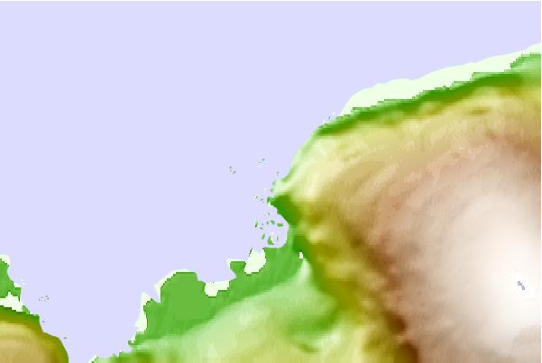
Use this relief map to navigate to tide stations, surf breaks and cities that are in the area of Casey, Antarctica.
Other Nearby Locations' tide tables and tide charts to Casey, Antarctica:
click location name for more details
 Surf breaks close to Casey, Antarctica:
|
||
|---|---|---|
| Closest surf break | Bruny Island - Lighthouse Bay | 2089 mi |
| Second closest surf break | Bruny Island - Mabel Bay | 2090 mi |
| Third closest surf break | Bruny Island - Lagoons | 2093 mi |
| Fourth closest surf break | Bruny Island - Jawbones | 2094 mi |
| Fifth closest surf break | Bruny Island - Cloudy Bay | 2095 mi |


 Nearest