
| Distance / Altitude | Location | Report Date / Time | Live Weather | Wind | Gusts | Temp. | Visibility | Cloud |
|---|---|---|---|---|---|---|---|---|
| 24 km NNE / -152 m | Stephens Island Automatic Weather Station (New Zealand) | 2026-06-09 15:00 local (2026/06/09 03:00 GMT) | - | moderate winds from the ENE (20 km/h at 70) | 12°C | - | no observation | |
| 24 km NNE / -152 m | Stephens Island Automatic Weather Station (New Zealand) | 2026-06-09 15:00 local (2026/06/09 03:00 GMT) | - | moderate winds from the ENE (20 km/h at 70) | 12°C | - | - no observation - | |
| 73 km S / 50 m | Blenheim (New Zealand) | 2026-06-09 15:27 local (2026/06/09 03:27 GMT) | dry | calm (3 km/h at 11) | 13°C | - | - - 0 | |
| 74 km SSW / 6 m | NelsonAeroAws (New Zealand) | 2026-06-09 15:00 local (2026/06/09 03:00 GMT) | Clear skies | light winds from the SSW (13 km/h at 210) | 16°C | 20 km | no observation | |
| 83 km W / 5 m | FarewellSpitAws (New Zealand) | 2026-06-09 15:00 local (2026/06/09 03:00 GMT) | - | light winds from the SSE (6 km/h at 160) | 17°C | - | - no observation - | |
| 86 km ESE / 116 m | Wellington (New Zealand) | 2026-06-09 15:03 local (2026/06/09 03:03 GMT) | dry | wind obs. (19 kph from 43 degs) was rejected (- km/h at -) | 11°C | - | - - 0 | |
| 88 km ESE / 20 m | Paremata (New Zealand) | 2026-06-09 15:23 local (2026/06/09 03:23 GMT) | dry | light winds from the SW (10 km/h at 234) | 12°C | - | - - 0 | |
| 90 km E / 267 m | Paekakariki (New Zealand) | 2026-06-09 15:00 local (2026/06/09 03:00 GMT) | - | strong winds from the S (44 km/h at 185) | 9°C | - | - - 0 | |
| 92 km E / 6 m | Kapiti Aeromodellers (New Zealand) | 2026-06-09 15:00 local (2026/06/09 03:00 GMT) | - | strong winds from the S (46 km/h at 178) | 11°C | - | - - 0 | |
| 92 km ESE / 201 m | Wellington International Airport (New Zealand) | 2026-06-09 15:00 local (2026/06/09 03:00 GMT) | Visibility reduced by smoke | near gales from the S (52 km/h at 190) | 12°C | 2 km | scattered no observation broken |
| Contours: | Roads & Rivers: | Select a
tide station / surf break / city |
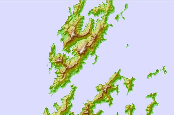
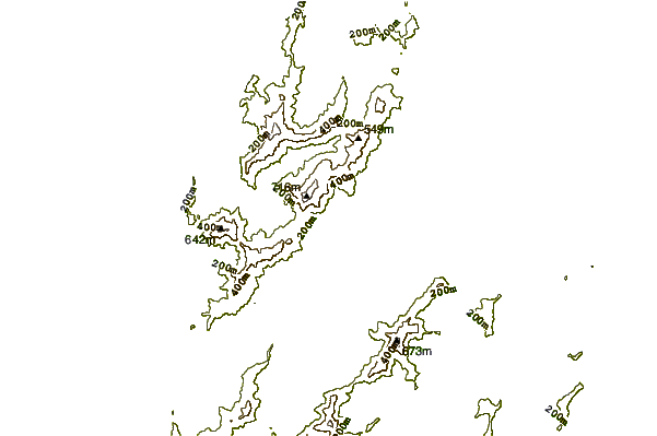
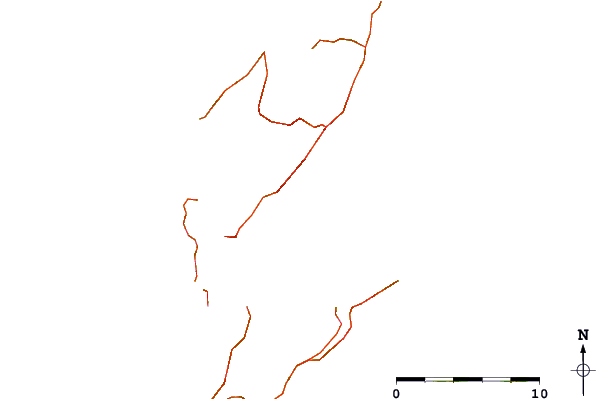
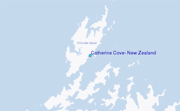
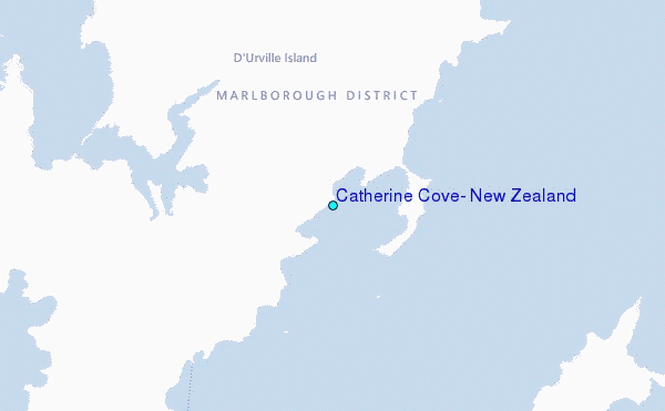
Use this relief map to navigate to tide stations, surf breaks and cities that are in the area of Catherine Cove, New Zealand.
Other Nearby Locations' tide tables and tide charts to Catherine Cove, New Zealand:
click location name for more details
 Surf breaks close to Catherine Cove, New Zealand:
|
||
|---|---|---|
| Closest surf break | Whangamoa | 25 mi |
| Second closest surf break | Magnets | 26 mi |
| Third closest surf break | Delaware Bay (East end) | 30 mi |
| Fourth closest surf break | Delaware Bay Point | 30 mi |
| Fifth closest surf break | Cable Bay | 32 mi |


 Nearest
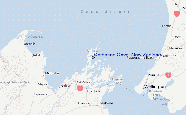