
| Distance / Altitude | Location | Report Date / Time | Live Weather | Wind | Gusts | Temp. | Visibility | Cloud |
|---|---|---|---|---|---|---|---|---|
| 137 km N / 179 m | Mombasa/Moi International Airport (Kenya) | 2024-04-26 22:30 local (2024/04/26 19:30 GMT) | Dry and partly cloudy | light winds from the SSW (15 km/h at 200) | 26°C | 10.0 | few broken | |
| 137 km N / 179 m | Mombasa-Moi International Airport (Kenya) | 2024-04-26 23:30 local (2024/04/26 20:30 GMT) | Dry and partly cloudy | light winds from the SSW (13 km/h at 210) | 26°C | 10.0 | few broken | |
| 345 km WNW / 922 m | NEI Plantation (Tanzania) | 2024-04-27 00:00 local (2024/04/26 21:00 GMT) | - | calm (0 km/h at 44) | 20°C | - | - - 0 | |
| 538 km WNW / 1624 m | Nairobi/Jomo Kenyatta Airport (Kenya) | 2024-04-26 22:00 local (2024/04/26 19:00 GMT) | Dry and partly cloudy | light winds from the SSW (6 km/h at 200) | 17°C | 10.0 | broken broken | |
| 544 km WNW / 1679 m | Nairobi/Wilson Airport (Kenya) | 2024-04-26 23:00 local (2024/04/26 20:00 GMT) | Dry and partly cloudy | calm (0 km/h at 0) | 17°C | 10.0 | broken broken |
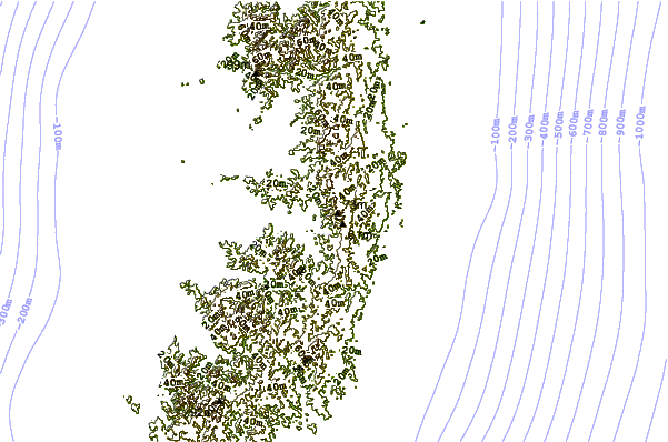
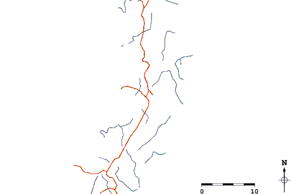
| Contours: | Roads & Rivers: | Select a
tide station / surf break / city |
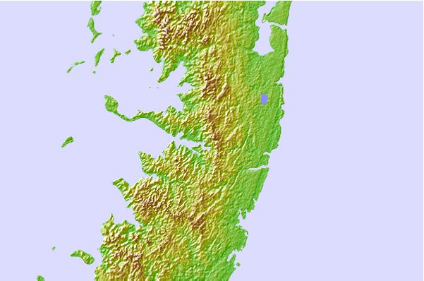
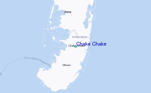
Use this relief map to navigate to tide stations, surf breaks and cities that are in the area of Chake Chake.
Other Nearby Locations' tide tables and tide charts to Chake Chake:
click location name for more details
 Surf breaks close to Chake Chake:
|
||
|---|---|---|
| Closest surf break | Nungwi Reefs | 47 mi |
| Second closest surf break | Mombasa Channel | 81 mi |
| Third closest surf break | Jam's Right | 107 mi |
| Fourth closest surf break | Sea Cliff | 109 mi |
| Fifth closest surf break | Oyster Bay Beach - Coco Beach | 111 mi |

 Nearest
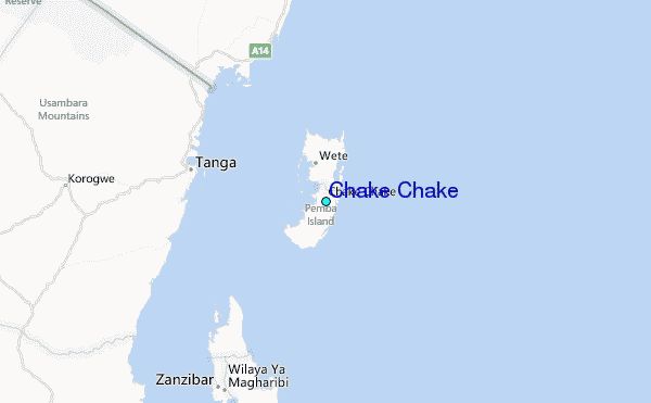