
| Distance / Altitude | Location | Report Date / Time | Live Weather | Wind | Gusts | Temp. | Visibility | Cloud |
|---|---|---|---|---|---|---|---|---|
| 13 km NNE / 96 m | Santa Marta/Simón Bolívar International Airport (Columbia) | 2024-04-26 20:00 local (2024/04/27 01:00 GMT) | Dry and partly cloudy | light winds from the NNE.(Wind varies from 360 to 060 degs) (9 km/h at 30) | 28°C | 8.0 | broken scattered | |
| 20 km N / 4 m | Gaira wx (Colombia) | 2024-04-26 20:29 local (2024/04/27 01:29 GMT) | dry | light winds from the SSE (19 km/h at 147) | 28°C | - | - - 0 | |
| 57 km SW / 206 m | Barranquilla/Ernesto Cortissoz International Airport (Columbia) | 2024-04-26 20:00 local (2024/04/27 01:00 GMT) | Dry and partly cloudy | light winds from the N.(Wind varies from 310 to 050 degs) (13 km/h at 10) | 27°C | 10.0 | scattered | |
| 128 km ESE / 95 m | Valledupar/Aeropuerto Alfonso López Pumarejo Airport (Columbia) | 2024-04-26 20:00 local (2024/04/27 01:00 GMT) | Dry and partly cloudy | light winds from the ENE (13 km/h at 60) | 30°C | 10.0 | scattered scattered | |
| 152 km SW / 201 m | Cartagena/Rafael Airport (Columbia) | 2024-04-26 20:00 local (2024/04/27 01:00 GMT) | - | light winds from the NNE.(Wind varies from 350 to 070 degs) (11 km/h at 30) | 27°C | 10.0 | few |
| Contours: | Roads & Rivers: | Select a
tide station / surf break / city |
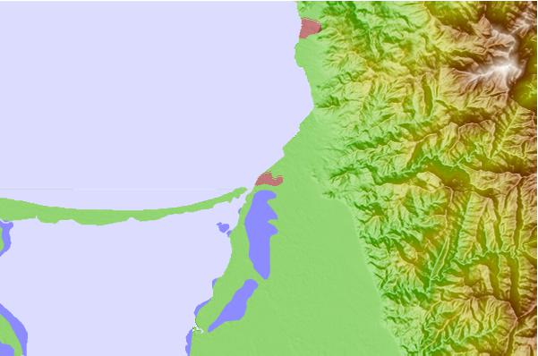
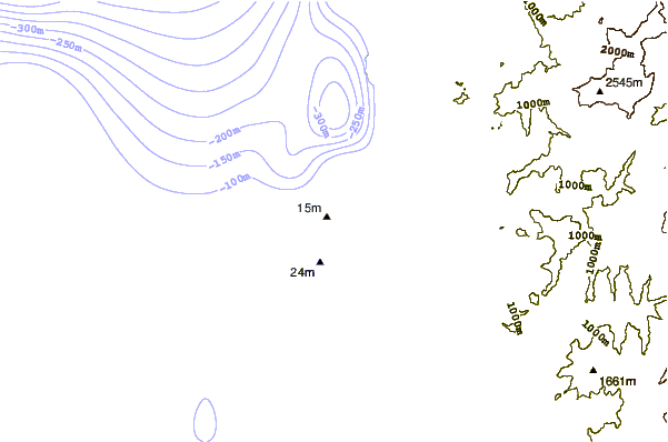
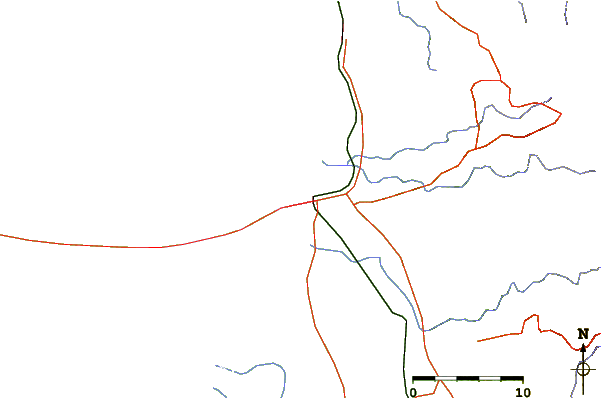
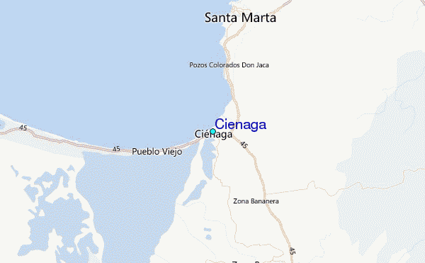
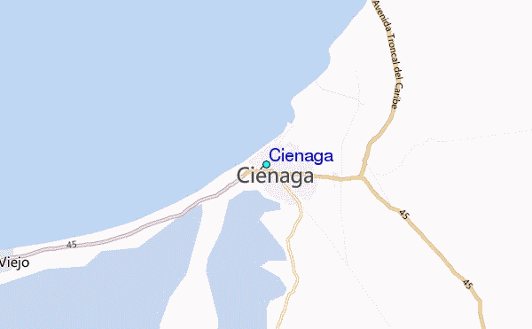
Use this relief map to navigate to tide stations, surf breaks and cities that are in the area of Cienaga.
Other Nearby Locations' tide tables and tide charts to Cienaga:
click location name for more details
 Surf breaks close to Cienaga:
|
||
|---|---|---|
| Closest surf break | Parque Tayrona | 24 mi |
| Second closest surf break | Siete Olas | 24 mi |
| Third closest surf break | Arrecifes | 30 mi |
| Fourth closest surf break | La Caracola | 30 mi |
| Fifth closest surf break | Los Naranjos | 31 mi |

 Nearest
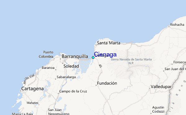