
| Distance / Altitude | Location | Report Date / Time | Live Weather | Wind | Gusts | Temp. | Visibility | Cloud |
|---|---|---|---|---|---|---|---|---|
| 13 km E / 3 m | SHIP259 (Marine) | 2024-04-26 14:00 local (2024/04/26 17:00 GMT) | - (- km/h at -) | 28°C | - | |||
| 13 km ESE / 1 m | Vicente de Carvalho wx (Brazil) | 2024-04-26 15:45 local (2024/04/26 18:45 GMT) | dry | light winds from the SW (11 km/h at 230) | 25°C | - | - - 0 | |
| 14 km SE / 2 m | Santos wx (Brazil) | 2024-04-26 15:44 local (2024/04/26 18:44 GMT) | dry | calm (0 km/h at 63) | 26°C | - | - - 0 | |
| 15 km E / 331 m | Santos Air Force Base Airport (Brazil) | 2024-04-26 15:00 local (2024/04/26 18:00 GMT) | Dry and partly cloudy | light winds from the SW (11 km/h at 230) | 25°C | 10.0 | broken | |
| 37 km WNW / 703 m | São Paulo Congonhas Airport (Brazil) | 2024-04-26 15:00 local (2024/04/26 18:00 GMT) | Dry and partly cloudy | light winds from the S.(Wind varies from 150 to 210 degs) (17 km/h at 180) | 26°C | 9.0 | scattered broken overcast |
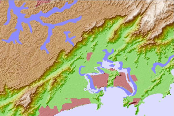
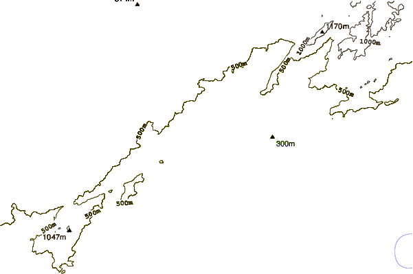
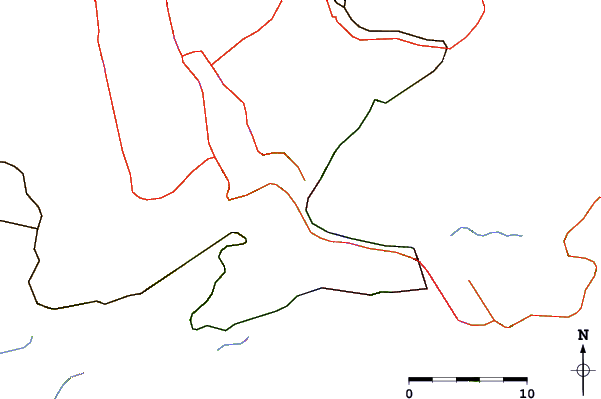
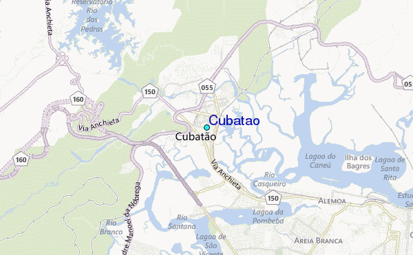
| Contours: | Roads & Rivers: | Select a
tide station / surf break / city |
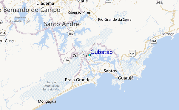
Use this relief map to navigate to tide stations, surf breaks and cities that are in the area of Cubatão.
Other Nearby Locations' tide tables and tide charts to Cubatão:
click location name for more details
 Surf breaks close to Cubatão:
|
||
|---|---|---|
| Closest surf break | Ilha Porchat | 7 mi |
| Second closest surf break | Porta do Sol | 7 mi |
| Third closest surf break | Quebra Mar | 7 mi |
| Fourth closest surf break | Gongaza | 7 mi |
| Fifth closest surf break | Embare | 8 mi |

 Nearest
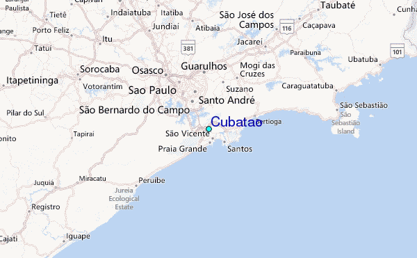