
| Distance / Altitude | Location | Report Date / Time | Live Weather | Wind | Gusts | Temp. | Visibility | Cloud |
|---|---|---|---|---|---|---|---|---|
| 40 km ENE / 96 m | Catbalogan-Samar (Philippines) | 2024-04-26 10:00 local (2024/04/26 02:00 GMT) | no report | - (- km/h at -) | 31°C | 30 | - | |
| 128 km WNW / 210 m | Macatan Airport (Philippines) | 2024-04-26 10:00 local (2024/04/26 02:00 GMT) | - | light winds from the NE.(Wind varies from 010 to 080 degs) (13 km/h at 40) | 32°C | 10.0 | few | |
| 147 km ESE / 214 m | Guiuan (Samar Island) (Philippines) | 2024-04-26 10:00 local (2024/04/26 02:00 GMT) | state of sky unchanged | light winds from the SE (14 km/h at 130) | 30°C | 22 | - | |
| 187 km NW / 15 m | Legaspi (Philippines) | 2024-04-26 11:00 local (2024/04/26 03:00 GMT) | no report | calm (4 km/h at 40) | 31°C | 18 | - | |
| 231 km WSW / 80 m | Dalipdip wx (Philippines) | 2024-04-26 10:21 local (2024/04/26 02:21 GMT) | dry | light winds from the NNE (11 km/h at 30) | 29°C | - | - - 0 |
| Contours: | Roads & Rivers: | Select a
tide station / surf break / city |
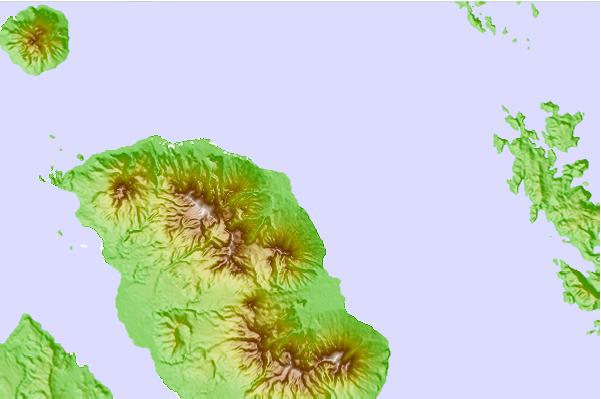
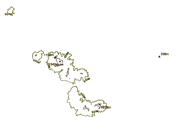
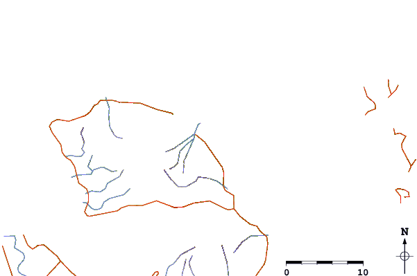
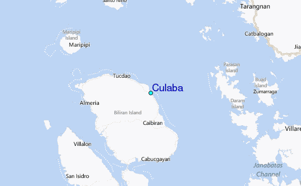
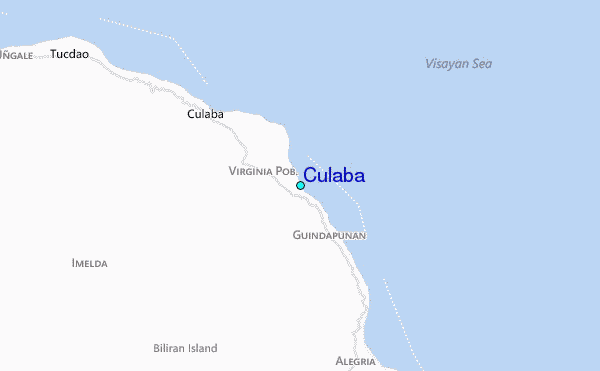
Use this relief map to navigate to tide stations, surf breaks and cities that are in the area of Culaba.
Other Nearby Locations' tide tables and tide charts to Culaba:
click location name for more details
 Surf breaks close to Culaba:
|
||
|---|---|---|
| Closest surf break | Boulevard | 61 mi |
| Second closest surf break | Pirates Cove | 62 mi |
| Third closest surf break | Guitagican Beach | 63 mi |
| Fourth closest surf break | Santa Monica | 65 mi |
| Fifth closest surf break | Llorente | 70 mi |

 Nearest
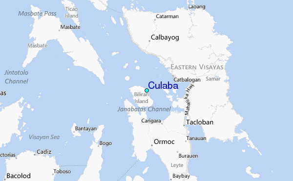