
| Distance / Altitude | Location | Report Date / Time | Live Weather | Wind | Gusts | Temp. | Visibility | Cloud |
|---|---|---|---|---|---|---|---|---|
| 0 km NW / 3 m | BUOY-DMSF1 (Marine) | 2024-04-26 04:00 local (2024/04/26 08:00 GMT) | - (- km/h at -) | — | - | |||
| 4 km E / 3 m | BUOY-BLIF1 (Marine) | 2024-04-26 04:00 local (2024/04/26 08:00 GMT) | calm (5 km/h at 180) | 21°C | - | |||
| 4 km E / 28 m | Jacksonville (Florida) | 2024-04-26 03:47 local (2024/04/26 07:47 GMT) | dry | calm (3 km/h at 0) | 20°C | - | - - 0 | |
| 5 km SW / 10 m | Jacksonville (Florida) | 2024-04-26 04:12 local (2024/04/26 08:12 GMT) | dry | calm (0 km/h at 74) | 18°C | - | - - 0 | |
| 6 km SSW / 3 m | BUOY-JXUF1 (Marine) | 2024-04-26 04:00 local (2024/04/26 08:00 GMT) | - (- km/h at -) | — | - |
| Contours: | Roads & Rivers: | Select a
tide station / surf break / city |
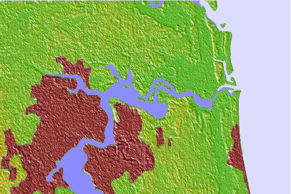
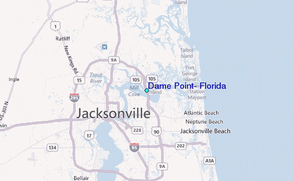
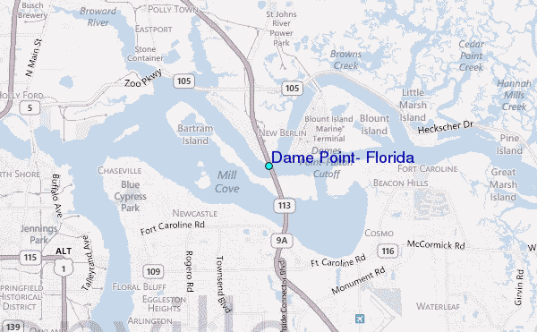
Use this relief map to navigate to tide stations, surf breaks and cities that are in the area of Dame Point, Florida.
Other Nearby Locations' tide tables and tide charts to Dame Point, Florida:
click location name for more details
 Surf breaks close to Dame Point, Florida:
|
||
|---|---|---|
| Closest surf break | Hanna Park/Mayport Poles | 9 mi |
| Second closest surf break | North Jetty | 9 mi |
| Third closest surf break | Little Talbot Island | 10 mi |
| Fourth closest surf break | The Barge | 10 mi |
| Fifth closest surf break | The Mayport Poles | 10 mi |

 Nearest
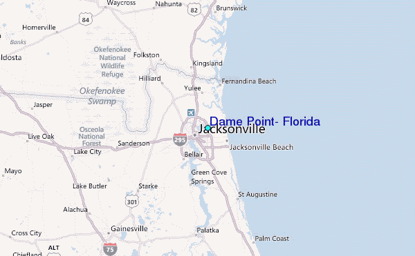