
| Distance / Altitude | Location | Report Date / Time | Live Weather | Wind | Gusts | Temp. | Visibility | Cloud |
|---|---|---|---|---|---|---|---|---|
| 14 km SW / 376 m | Dar Es Salaam Airport (Tanzania) | 2026-06-09 22:00 local (2026/06/09 19:00 GMT) | Dry and partly cloudy | light winds from the S (9 km/h at 180) | 24°C | 10.0 | few scattered | |
| 14 km SW / 376 m | Dar Es Salaam Airport (Tanzania) | 2026-06-09 23:00 local (2026/06/09 20:00 GMT) | Dry and partly cloudy | light winds from the SSE (6 km/h at 160) | 24°C | 10.0 | few scattered | |
| 67 km N / 372 m | Zanzibar/Kisauni Airport (Tanzania) | 2026-06-09 22:00 local (2026/06/09 19:00 GMT) | - | light winds from the E (6 km/h at 80) | 25°C | 10.0 | few | |
| 311 km N / 179 m | Mombasa-Moi International Airport (Kenya) | 2026-06-09 23:00 local (2026/06/09 20:00 GMT) | Dry and partly cloudy | light winds from the SSE (9 km/h at 160) | 26°C | 10.0 | few broken - | |
| 393 km SSE / 277 m | Mtwara (Tanzania) | 2026-06-09 23:00 local (2026/06/09 20:00 GMT) | - | light winds from the S (6 km/h at 180) | 23°C | 10.0 | few | |
| 399 km WSW / 1099 m | Dodoma Airport (Tanzania) | 2026-06-09 23:00 local (2026/06/09 20:00 GMT) | - | light winds from the E (17 km/h at 100) | 20°C | 10.0 | few | |
| 407 km NNE / 1 m | Malindi Airport (Kenya) | 2026-06-09 23:00 local (2026/06/09 20:00 GMT) | - | light winds from the SSE (15 km/h at 160) | 27°C | 10.0 | few | |
| 451 km NW / 410 m | Kilimanjaro Airport (Tanzania) | 2026-06-09 22:00 local (2026/06/09 19:00 GMT) | Dry and partly cloudy | calm (4 km/h at 1) | 20°C | 10.0 | scattered | |
| 669 km NW / 1685 m | Nairobi/Wilson Airport (Kenya) | 2026-06-10 00:00 local (2026/06/09 21:00 GMT) | no report | wind obs. (20 kph from 150 degs) was rejected (- km/h at -) | 20°C | 20 | - | |
| 693 km S / 446 m | Pemba Airport (Mozambique) | 2026-06-09 23:00 local (2026/06/09 20:00 GMT) | - | calm (0 km/h at 0) | 26°C | 10.0 | few |
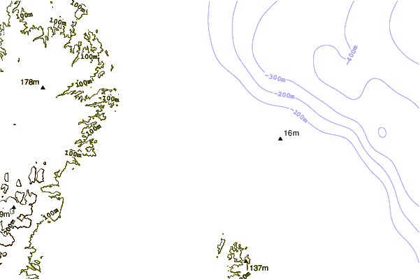
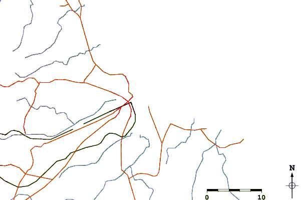
| Contours: | Roads & Rivers: | Select a
tide station / surf break / city |
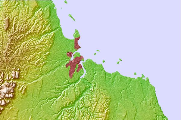
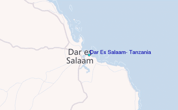
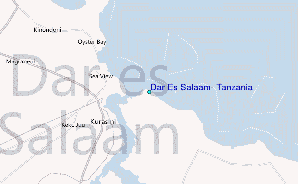
Use this relief map to navigate to tide stations, surf breaks and cities that are in the area of Dar Es Salaam, Tanzania.
Other Nearby Locations' tide tables and tide charts to Dar Es Salaam, Tanzania:
click location name for more details
 Surf breaks close to Dar Es Salaam, Tanzania:
|
||
|---|---|---|
| Closest surf break | Oyster Bay Beach - Coco Beach | 4 mi |
| Second closest surf break | Sea Cliff | 6 mi |
| Third closest surf break | Jam's Right | 8 mi |
| Fourth closest surf break | Nungwi Reefs | 76 mi |
| Fifth closest surf break | Mombasa Channel | 191 mi |


 Nearest
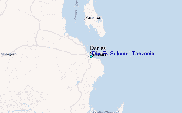