
| Distance / Altitude | Location | Report Date / Time | Live Weather | Wind | Gusts | Temp. | Visibility | Cloud |
|---|---|---|---|---|---|---|---|---|
| 13 km S / 217 m | Brunswick Golden Isles Airport (Georgia) | 2026-07-30 19:35 local (2026/07/30 23:35 GMT) | Clear | light winds from the SE (15 km/h at 130) | 30°C | 16 | ||
| 24 km S / 218 m | Brunswick Airport (Georgia) | 2026-07-30 19:35 local (2026/07/30 23:35 GMT) | Clear | light winds from the SE (17 km/h at 130) | 30°C | 13 | ||
| 47 km W / 33 m | Jesup/Wayne County Airport (Georgia) | 2026-07-30 19:30 local (2026/07/30 23:30 GMT) | Dry and partly cloudy | calm (0 km/h at 0) | 33°C | 16 | broken | |
| 57 km NW / 214 m | Fort Stewart/Wright Army Airfield Airport (Georgia) | 2026-07-30 18:55 local (2026/07/30 22:55 GMT) | Clear | light winds from the NNW (9 km/h at 330) | 34°C | 16 | ||
| 77 km NNE / 217 m | Savannah/Hunter Army Airfield Airport (Georgia) | 2026-07-30 18:55 local (2026/07/30 22:55 GMT) | - | wind obs. (13 kph from 180 degs) was rejected (- km/h at -) | 31°C | 16 | few | |
| 78 km S / 5 m | Fernandina Beach wx (United States) | 2026-07-30 19:16 local (2026/07/30 23:16 GMT) | dry | calm (5 km/h at 193) | 29°C | - | - - 0 | |
| 83 km S / 5 m | Fernandina Beach Airport (Florida) (Florida) | 2026-07-30 19:35 local (2026/07/30 23:35 GMT) | Clear | moderate winds from the SW (26 km/h at 230) | 28°C | 16 | ||
| 85 km S / 9 m | Fernandina Beach (Florida) | 2026-07-30 19:13 local (2026/07/30 23:13 GMT) | dry | calm (5 km/h at 235) | 28°C | - | - - 0 | |
| 86 km NNE / 218 m | Savannah Airport (Georgia) | 2026-07-30 18:53 local (2026/07/30 22:53 GMT) | Dry and partly cloudy | wind obs. (13 kph from 140 degs) was rejected (- km/h at -) | 32°C | 16 | scattered broken | |
| 93 km WSW / 217 m | Waycross/Ware County Airport (Georgia) | 2026-07-30 19:35 local (2026/07/30 23:35 GMT) | Clear | calm (0 km/h at 0) | 33°C | 16 |
| Contours: | Roads & Rivers: | Select a
tide station / surf break / city |
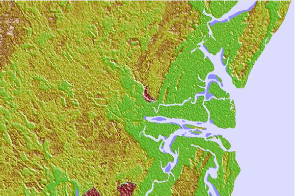

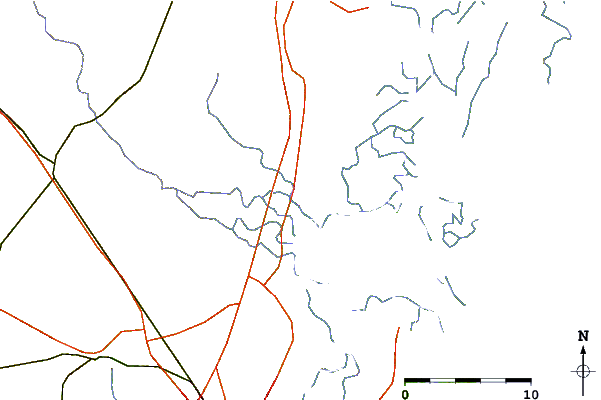
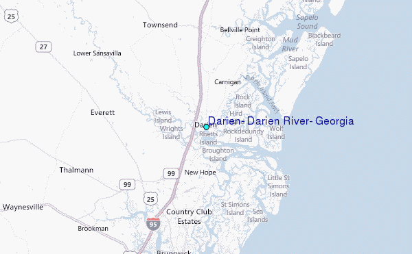
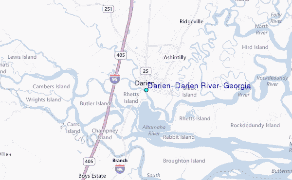
Use this relief map to navigate to tide stations, surf breaks and cities that are in the area of Darien, Darien River, Georgia.
Other Nearby Locations' tide tables and tide charts to Darien, Darien River, Georgia:
click location name for more details
 Surf breaks close to Darien, Darien River, Georgia:
|
||
|---|---|---|
| Closest surf break | Sea Island | 14 mi |
| Second closest surf break | Goulds Inlet | 15 mi |
| Third closest surf break | St Simons Island | 16 mi |
| Fourth closest surf break | Coastguard/St Simons | 16 mi |
| Fifth closest surf break | 5th and 7th Streets | 19 mi |


 Nearest
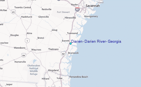