
| Distance / Altitude | Location | Report Date / Time | Live Weather | Wind | Gusts | Temp. | Visibility | Cloud |
|---|---|---|---|---|---|---|---|---|
| 52 km NE / 293 m | Davao/Francisco Bangoy International Airport (Philippines) | 2025-12-26 04:00 local (2025/12/25 20:00 GMT) | - | calm (4 km/h at 10) | 25°C | 10.0 | few | |
| 52 km NE / 293 m | Davao/Francisco Bangoy International Airport (Philippines) | 2025-12-26 04:00 local (2025/12/25 20:00 GMT) | - | calm (4 km/h at 10) | 25°C | 10.0 | few | |
| 54 km NE / 3 m | SHIP3014 (Marine) | 2025-12-26 03:00 local (2025/12/25 19:00 GMT) | light winds from the N (18 km/h at 350) | 27°C | - | |||
| 54 km NE / 15 m | SHIP3155 (Marine) | 2025-12-26 04:00 local (2025/12/25 20:00 GMT) | light winds from the NW (9.360000000000001 km/h at 310) | 29°C | - km | |||
| 54 km NE / - m | SHIP982 (ocean) | 2025-12-26 05:00 local (2025/12/25 21:00 GMT) | No report | light winds from the NW (9 km/h at 320) | 26°C | - | no observation | |
| 54 km NE / 15 m | SHIP8059 (Marine) | 2025-12-26 05:00 local (2025/12/25 21:00 GMT) | light winds from the NW (9.360000000000001 km/h at 320) | 29°C | - km | |||
| 54 km NE / 3 m | SHIP8763 (Marine) | 2025-12-26 04:00 local (2025/12/25 20:00 GMT) | light winds from the NNW (11 km/h at 340) | 27°C | - | |||
| 54 km NE / - m | SHIP1247 (ocean) | 2025-12-26 04:00 local (2025/12/25 20:00 GMT) | No report | light winds from the NNW (11 km/h at 340) | 27°C | - | no observation | |
| 54 km NE / - m | SHIP417 (ocean) | 2025-12-26 05:00 local (2025/12/25 21:00 GMT) | No report | light winds from the NW (9 km/h at 320) | 26°C | - | no observation | |
| 54 km NE / - m | SHIP1176 (ocean) | 2025-12-26 05:00 local (2025/12/25 21:00 GMT) | No report | light winds from the NW (9 km/h at 320) | 26°C | - | no observation |
| Contours: | Roads & Rivers: | Select a
tide station / surf break / city |
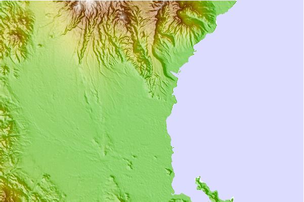
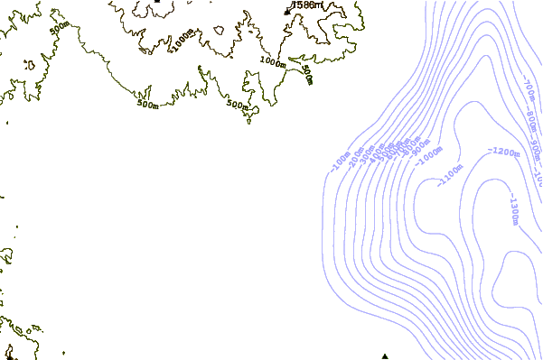
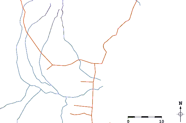
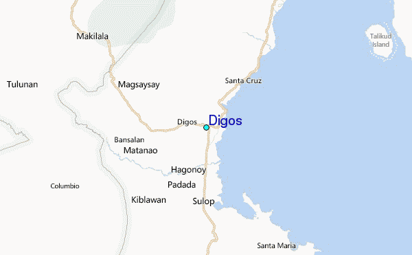
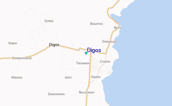
Use this relief map to navigate to tide stations, surf breaks and cities that are in the area of Digos.
Other Nearby Locations' tide tables and tide charts to Digos:
click location name for more details
 Surf breaks close to Digos:
|
||
|---|---|---|
| Closest surf break | Tago River | 167 mi |
| Second closest surf break | Marami Beach | 171 mi |
| Third closest surf break | Lanuza Rivermouth | 178 mi |
| Fourth closest surf break | Big Star | 180 mi |
| Fifth closest surf break | Random Beach Break | 180 mi |


 Nearest
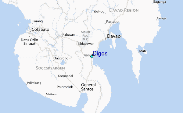