
| Distance / Altitude | Location | Report Date / Time | Live Weather | Wind | Gusts | Temp. | Visibility | Cloud |
|---|---|---|---|---|---|---|---|---|
| 3 km S / 3 m | South Harbour (Canada) | 2024-04-27 00:34 local (2024/04/27 03:34 GMT) | - | calm (2 km/h at 258) | -2°C | - | - - 0 | |
| 3 km WNW / 22 m | Aspy Bay wx (Canada) | 2024-04-26 23:08 local (2024/04/27 02:08 GMT) | - | light winds from the SW (8 km/h at 226) | 0°C | - | - - 0 | |
| 4 km SSW / 60 m | Cape North wx (Canada) | 2024-04-27 00:11 local (2024/04/27 03:11 GMT) | - | calm (5 km/h at 253) | -1°C | - | - - 0 | |
| 4 km SW / 86 m | Cape North (Canada) | 2024-04-27 00:24 local (2024/04/27 03:24 GMT) | - | calm (2 km/h at 264) | -1°C | - | - - 0 | |
| 11 km N / 10 m | Bay St. Lawrence (Canada) | 2024-04-27 00:45 local (2024/04/27 03:45 GMT) | - | moderate winds from the WNW (24 km/h at 293) | 1°C | - | - - 0 |
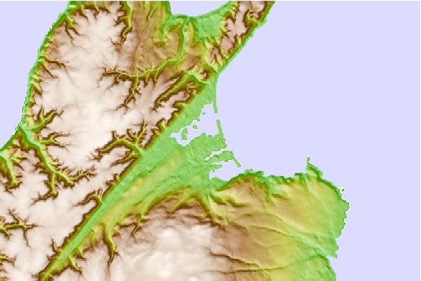
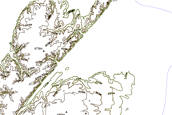
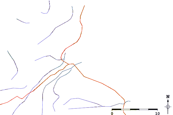
| Contours: | Roads & Rivers: | Select a
tide station / surf break / city |
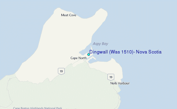
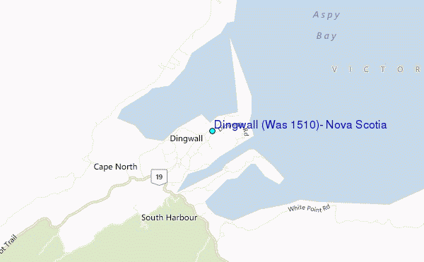
Use this relief map to navigate to tide stations, surf breaks and cities that are in the area of Dingwall (Was 1510), Nova Scotia.
Other Nearby Locations' tide tables and tide charts to Dingwall (Was 1510), Nova Scotia:
click location name for more details
 Surf breaks close to Dingwall (Was 1510), Nova Scotia:
|
||
|---|---|---|
| Closest surf break | Ingonish Beach | 19 mi |
| Second closest surf break | Kennington Cove | 73 mi |
| Third closest surf break | Michaud Point | 93 mi |
| Fourth closest surf break | Martinique | 201 mi |
| Fifth closest surf break | Lawrencetown Left Point | 208 mi |

 Nearest
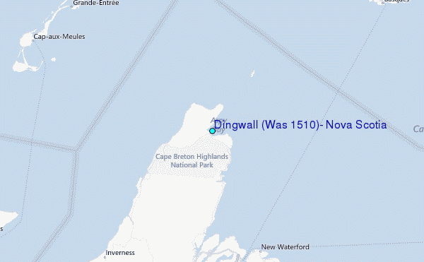