
| Distance / Altitude | Location | Report Date / Time | Live Weather | Wind | Gusts | Temp. | Visibility | Cloud |
|---|---|---|---|---|---|---|---|---|
| 18 km S / 37 m | Surat Thani Agromet (Thailand) | 2024-04-27 04:00 local (2024/04/26 21:00 GMT) | Mist | calm (0 km/h at 0) | 27°C | 27 km | - scattered - | |
| 42 km SW / 11 m | Surat Thani (Thailand) | 2024-04-27 04:00 local (2024/04/26 21:00 GMT) | no report | calm (0 km/h at 0) | 28°C | 10 | - few - | |
| 42 km ENE / 6 m | KO Samui (Thailand) | 2024-04-27 04:00 local (2024/04/26 21:00 GMT) | mist | calm (4 km/h at 280) | 30°C | 9 | - scattered - | |
| 43 km SW / 430 m | Surat Thani Airport (Thailand) | 2024-04-27 05:00 local (2024/04/26 22:00 GMT) | - | light winds from the WSW (6 km/h at 250) | 28°C | 8.0 | few | |
| 50 km ENE / 472 m | Samui Airport (Thailand) | 2024-04-27 05:00 local (2024/04/26 22:00 GMT) | - | calm (0 km/h at 0) | 30°C | 10.0 | few |
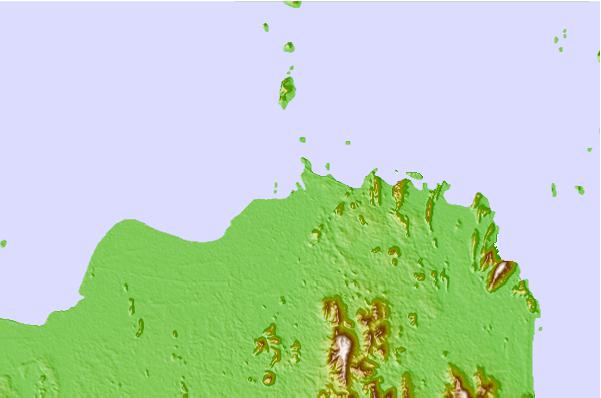
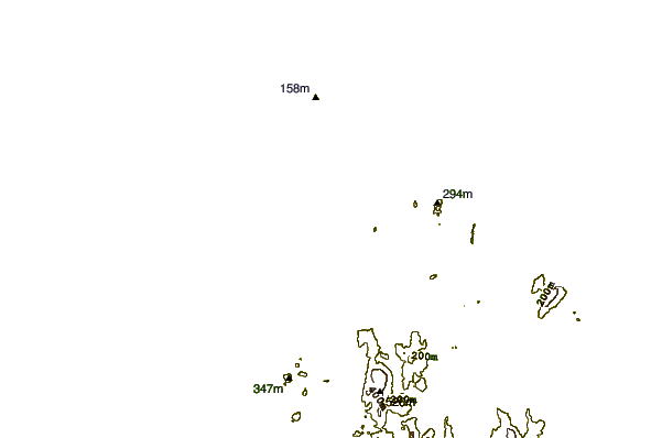
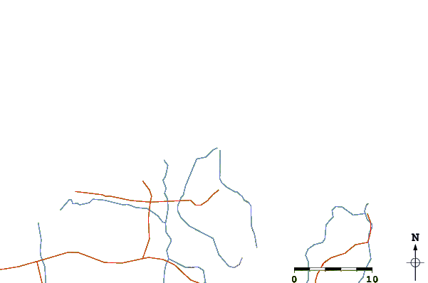
| Contours: | Roads & Rivers: | Select a
tide station / surf break / city |
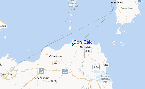
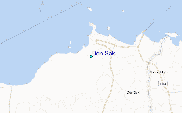
Use this relief map to navigate to tide stations, surf breaks and cities that are in the area of Don Sak.
Other Nearby Locations' tide tables and tide charts to Don Sak:
click location name for more details
 Surf breaks close to Don Sak:
|
||
|---|---|---|
| Closest surf break | Ko Samui | 29 mi |
| Second closest surf break | Chaweng Malibu | 30 mi |
| Third closest surf break | Kho Phan-Ngan - Haad Rin | 37 mi |
| Fourth closest surf break | Koh Phayam | 93 mi |
| Fifth closest surf break | Cape Pakarang Left | 107 mi |

 Nearest
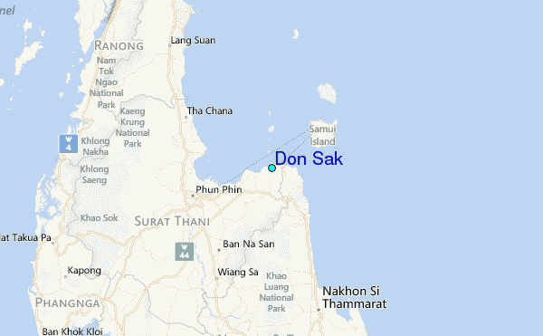