
| Distance / Altitude | Location | Report Date / Time | Live Weather | Wind | Gusts | Temp. | Visibility | Cloud |
|---|---|---|---|---|---|---|---|---|
| 16 km S / 3 m | BUOY-CHTM3 (Marine) | 2024-04-25 22:18 local (2024/04/26 02:18 GMT) | - (- km/h at -) | 2°C | - | |||
| 17 km S / 218 m | Chatham Airport (Massachusetts) | 2024-04-25 20:52 local (2024/04/26 00:52 GMT) | Clear | light winds from the S (6 km/h at 170) | 3°C | 16 | ||
| 30 km WSW / 3 m | Cape Cod Bay- MA (Marine) | 2024-04-25 22:30 local (2024/04/26 02:30 GMT) | - (- km/h at -) | 5°C | - | |||
| 30 km SSW / 217 m | Hyannis Airport (Massachusetts) | 2024-04-25 20:56 local (2024/04/26 00:56 GMT) | Clear | light winds from the S (6 km/h at 170) | 4°C | 16 | ||
| 33 km WNW / 210 m | Provincetown Airport (Massachusetts) | 2024-04-25 20:56 local (2024/04/26 00:56 GMT) | Clear | light winds from the SSE (7 km/h at 160) | 4°C | 16 |
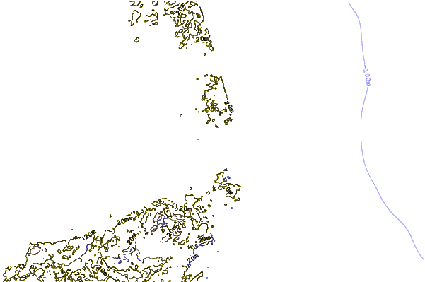
| Contours: | Roads & Rivers: | Select a
tide station / surf break / city |
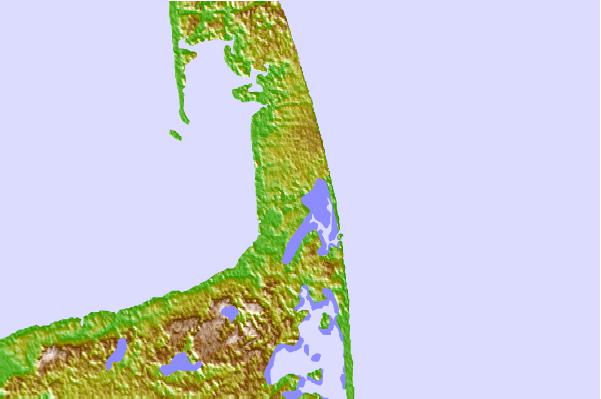
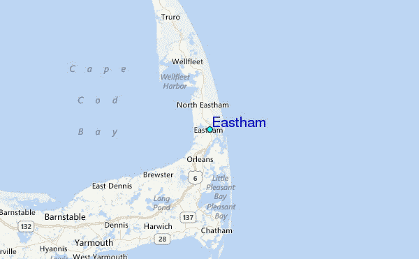
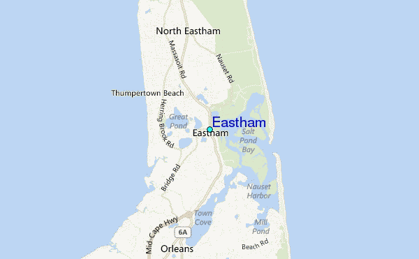
Use this relief map to navigate to tide stations, surf breaks and cities that are in the area of Eastham.
Other Nearby Locations' tide tables and tide charts to Eastham:
click location name for more details
 Surf breaks close to Eastham:
|
||
|---|---|---|
| Closest surf break | Coastguard Beach | 1 mi |
| Second closest surf break | Nauset Beach | 2 mi |
| Third closest surf break | Nauset Light Beach | 2 mi |
| Fourth closest surf break | Marconis Beach | 5 mi |
| Fifth closest surf break | Lecount Hollow | 6 mi |

 Nearest
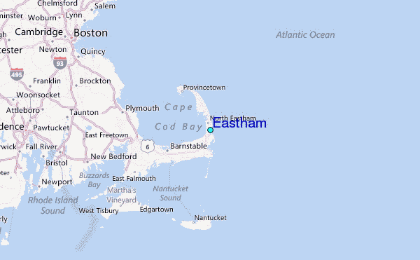