
| Distance / Altitude | Location | Report Date / Time | Live Weather | Wind | Gusts | Temp. | Visibility | Cloud |
|---|---|---|---|---|---|---|---|---|
| 10 km W / 215 m | Rota Naval Station Airport (Spain) | 2024-04-26 13:30 local (2024/04/26 11:30 GMT) | - | moderate winds from the WSW.(Wind varies from 190 to 280 degs) (20 km/h at 240) | 18°C | 10.0 | few | |
| 11 km SSE / 15 m | SHIP10554 (Marine) | 2024-04-26 12:00 local (2024/04/26 10:00 GMT) | - (- km/h at -) | — | - km | |||
| 16 km NE / 20 m | Las Abiertas wx (Spain) | 2024-04-26 14:41 local (2024/04/26 12:41 GMT) | dry | light winds from the SW (14 km/h at 225) | 18°C | - | - - 0 | |
| 23 km NE / 172 m | Jerez Airport (Spain) | 2024-04-26 13:30 local (2024/04/26 11:30 GMT) | Dry and partly cloudy | light winds from the WSW.(Wind varies from 210 to 280 degs) (19 km/h at 240) | 19°C | 10.0 | scattered | |
| 24 km NE / 28 m | JerezDELA Frontera Aeropuerto (Spain) | 2024-04-26 14:00 local (2024/04/26 12:00 GMT) | no report | light winds from the WSW (13 km/h at 250) | 20°C | 50 km | - no observation - |
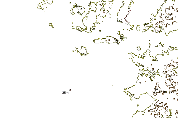
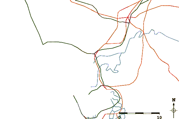
| Contours: | Roads & Rivers: | Select a
tide station / surf break / city |
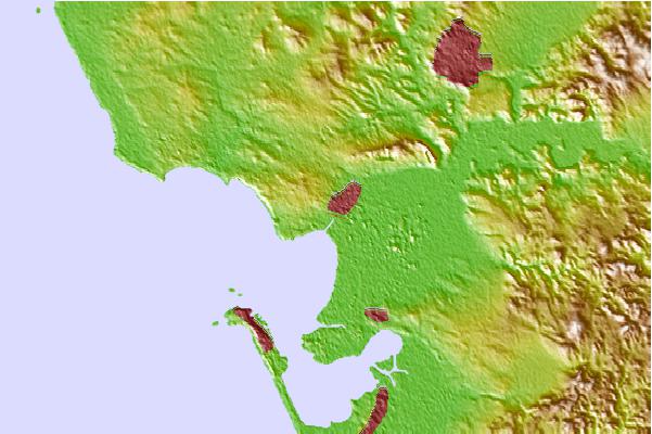
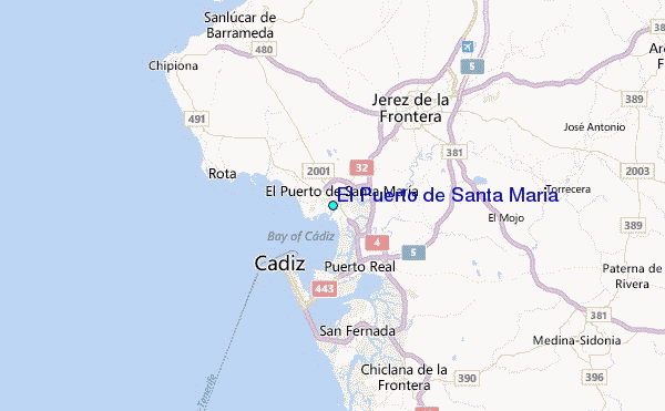
Use this relief map to navigate to tide stations, surf breaks and cities that are in the area of El Puerto de Santa Maria.
Other Nearby Locations' tide tables and tide charts to El Puerto de Santa Maria:
click location name for more details
 Surf breaks close to El Puerto de Santa Maria:
|
||
|---|---|---|
| Closest surf break | La Muralla | 2 mi |
| Second closest surf break | Las Redes | 4 mi |
| Third closest surf break | La Playita | 6 mi |
| Fourth closest surf break | Las Caracolas | 6 mi |
| Fifth closest surf break | La Cabanita | 7 mi |

 Nearest
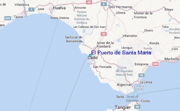