
| Distance / Altitude | Location | Report Date / Time | Live Weather | Wind | Gusts | Temp. | Visibility | Cloud |
|---|---|---|---|---|---|---|---|---|
| 159 km ESE / 274 m | Igloolik Airport (N.w. Territories) | 2026-06-09 12:00 local (2026/06/09 16:00 GMT) | Dry and partly cloudy | light winds from the SE (15 km/h at 140) | 1°C | 24 | broken | |
| 213 km SE / 210 m | Hall Beach Airport (N.w. Territories) | 2026-06-09 12:00 local (2026/06/09 16:00 GMT) | Dry and partly cloudy | light winds from the ESE (13 km/h at 110) | 0°C | 16 | scattered broken | |
| 213 km SE / 9 m | Hall Beach (Canada) | 2026-06-09 12:00 local (2026/06/09 16:00 GMT) | no report | wind obs. (22 kph from 300 degs) was rejected (- km/h at -) | 1°C | - | - - - | |
| 225 km SSW / 17 m | Kugaaruk Climate (Canada) | 2026-06-09 12:00 local (2026/06/09 16:00 GMT) | no report | wind obs. (7 kph from 10 degs) was rejected (- km/h at -) | 2°C | - | - no observation - | |
| 227 km SSW / 325 m | Pelly Bay Airport (N.w. Territories) | 2026-06-09 12:00 local (2026/06/09 16:00 GMT) | Dry and partly cloudy | fresh winds from the SE (35 km/h at 130) | 4°C | 24 | broken | |
| 311 km WSW / 191 m | Spence Bay Airport (N.w. Territories) | 2026-06-09 12:00 local (2026/06/09 16:00 GMT) | Dry and partly cloudy | light winds from the ESE (15 km/h at 110) | 7°C | 24 | few broken | |
| 311 km WSW / 27 m | Taloyoak (Canada) | 2026-06-09 11:00 local (2026/06/09 15:00 GMT) | - | moderate winds from the ESE (24 km/h at 110) | 5°C | 44 km | - scattered - | |
| 346 km N / 10 m | Arctic Bay Cs- NU (Canada) | 2026-06-09 11:00 local (2026/06/09 15:00 GMT) | no report | wind obs. (14 kph from 320 degs) was rejected (- km/h at -) | 2°C | - | - no observation - | |
| 347 km N / 2 m | Arctic Bay Airport (N.w. Territories) | 2026-06-09 12:00 local (2026/06/09 16:00 GMT) | - | moderate winds from the SSE (24 km/h at 150) | 6°C | 0.0 | ||
| 378 km S / 297 m | Repulse Bay Airport (N.w. Territories) | 2026-06-09 12:00 local (2026/06/09 16:00 GMT) | Dry and partly cloudy | wind obs. (17 kph from 140 degs) was rejected (- km/h at -) | 4°C | 80 | broken |
| Contours: | Roads & Rivers: | Select a
tide station / surf break / city |
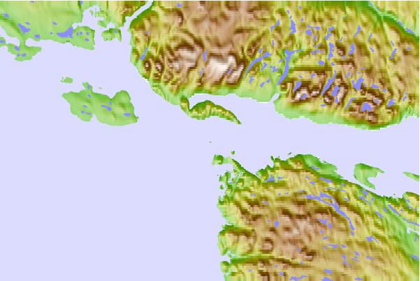
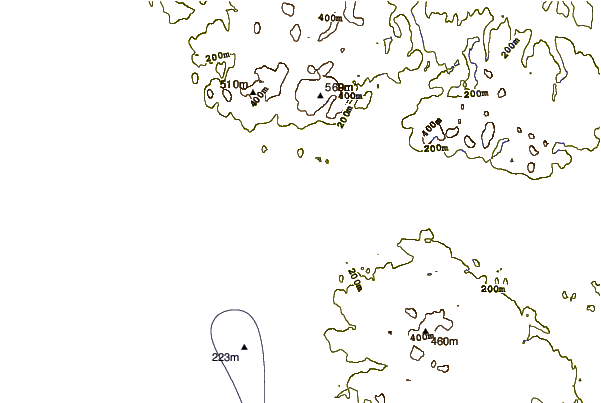
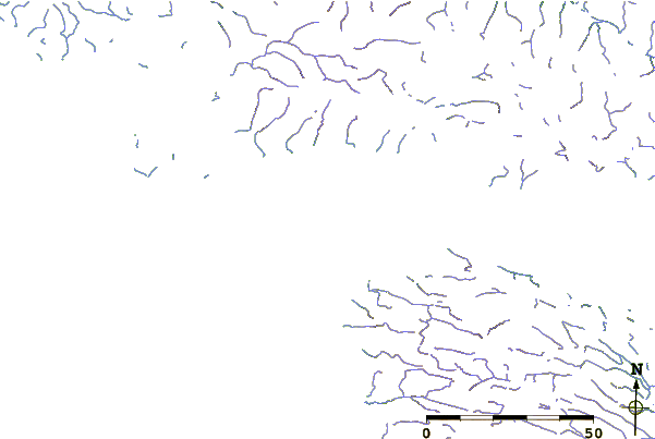
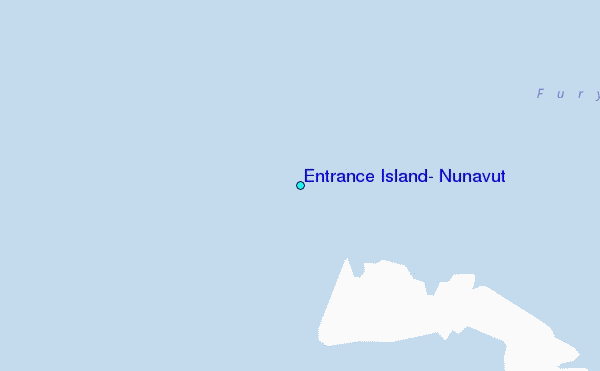
Use this relief map to navigate to tide stations, surf breaks and cities that are in the area of Entrance Island, Nunavut.
Other Nearby Locations' tide tables and tide charts to Entrance Island, Nunavut:
click location name for more details
 Surf breaks close to Entrance Island, Nunavut:
|
||
|---|---|---|
| Closest surf break | Marathon | 1464 mi |
| Second closest surf break | Keweenaw Peninsula | 1554 mi |
| Third closest surf break | Alona Bay | 1572 mi |
| Fourth closest surf break | Apostle Islands | 1587 mi |
| Fifth closest surf break | Ontonagon | 1595 mi |


 Nearest
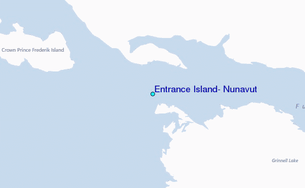