
| Distance / Altitude | Location | Report Date / Time | Live Weather | Wind | Gusts | Temp. | Visibility | Cloud |
|---|---|---|---|---|---|---|---|---|
| 27 km WSW / 21 m | Bauerfield Airport - Efate Island (Vanuatu) | 2024-04-27 10:00 local (2024/04/26 23:00 GMT) | Dry and partly cloudy | light winds from the E.(Wind varies from 070 to 130 degs) (17 km/h at 100) | 28°C | 10.0 | broken mostly cloudy - | |
| 208 km SSE / 8 m | WhiteGrassAirport (Vanuatu) | 2024-04-27 11:00 local (2024/04/27 00:00 GMT) | Dry and partly cloudy | light winds from the E (9 km/h at 90) | 28°C | 10.0 | few scattered - | |
| 271 km NW / 51 m | Longana Airport (Vanuatu) | 2024-04-27 11:00 local (2024/04/27 00:00 GMT) | Drizzle | light winds from the ESE (13 km/h at 120) | 30°C | 10.0 | few few broken | |
| 279 km NW / 44 m | PekoaAirport(Santo) (Vanuatu) | 2024-04-27 10:00 local (2024/04/26 23:00 GMT) | Rain showers | calm (4 km/h at 990) | 26°C | 20 km | - mostly cloudy - | |
| 279 km NW / 44 m | Pekoa Airport/Santo (Vanuatu) | 2024-04-27 11:00 local (2024/04/27 00:00 GMT) | Light rain showers | light winds from the SSE (9 km/h at 150) | 27°C | 20 km | - overcast - |
| Contours: | Roads & Rivers: | Select a
tide station / surf break / city |
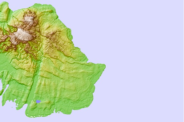
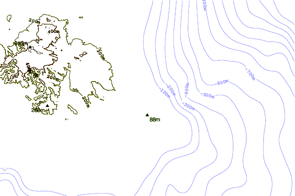
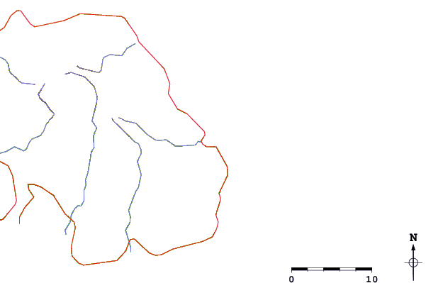
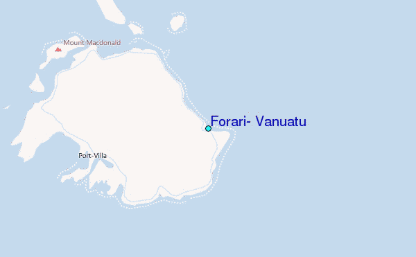
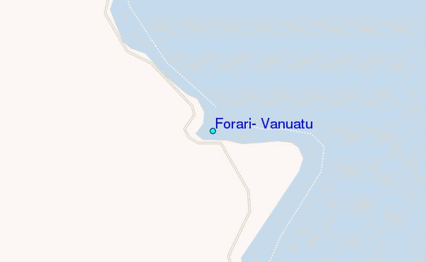
Use this relief map to navigate to tide stations, surf breaks and cities that are in the area of Forari, Vanuatu.
Other Nearby Locations' tide tables and tide charts to Forari, Vanuatu:
click location name for more details
 Surf breaks close to Forari, Vanuatu:
|
||
|---|---|---|
| Closest surf break | Forari Mine Lefts and Rights | 1 mi |
| Second closest surf break | White Cows | 4 mi |
| Third closest surf break | Bobs | 9 mi |
| Fourth closest surf break | Hopscotch | 9 mi |
| Fifth closest surf break | Soumabal Point | 11 mi |

 Nearest
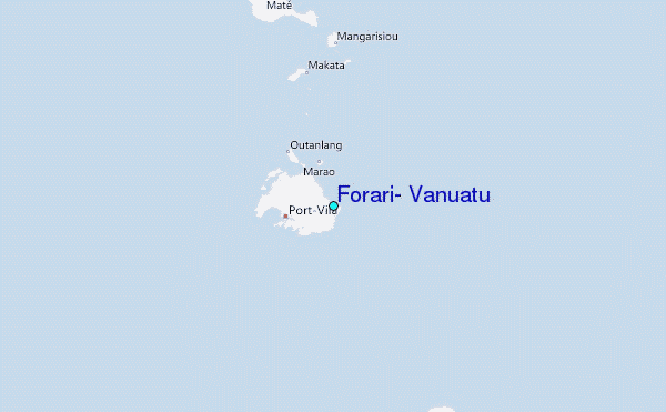