
| Distance / Altitude | Location | Report Date / Time | Live Weather | Wind | Gusts | Temp. | Visibility | Cloud |
|---|---|---|---|---|---|---|---|---|
| 158 km S / 12 m | Kuujjuarapik Arpt (Canada) | 2024-04-25 20:00 local (2024/04/26 00:00 GMT) | - | light winds from the NNW (9 km/h at 340) | — | - | - no observation - | |
| 159 km S / 164 m | Kuujjuarapik Airport (Quebec) | 2024-04-25 19:00 local (2024/04/25 23:00 GMT) | Clear | light winds from the NNE (11 km/h at 20) | -3°C | 14 | ||
| 161 km WSW / 237 m | Sanikiluaq Airport (N.w. Territories) | 2024-04-25 20:30 local (2024/04/26 00:30 GMT) | - | light winds from the E (17 km/h at 100) | -9°C | 24 | few | |
| 162 km WSW / 1 m | Sanikiluaq (Canada) | 2024-04-25 20:00 local (2024/04/26 00:00 GMT) | no report | light winds from the ESE (14 km/h at 120) | -7°C | - | - no observation - | |
| 230 km NW / 1 m | InukjuakUa-Que (Canada) | 2024-04-25 20:00 local (2024/04/26 00:00 GMT) | Clear | light winds from the SSE (13 km/h at 150) | -9°C | 14 | - no observation - |
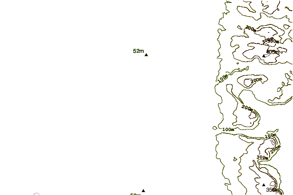
| Contours: | Roads & Rivers: | Select a
tide station / surf break / city |
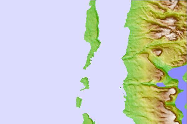
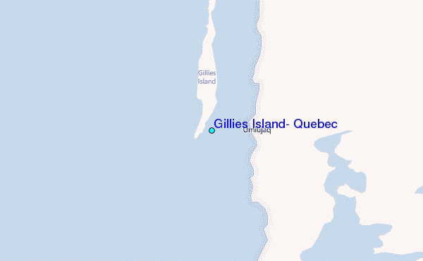
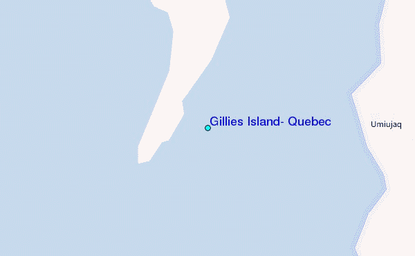
Use this relief map to navigate to tide stations, surf breaks and cities that are in the area of Gillies Island, Quebec.
Other Nearby Locations' tide tables and tide charts to Gillies Island, Quebec:
click location name for more details
 Surf breaks close to Gillies Island, Quebec:
|
||
|---|---|---|
| Closest surf break | Marathon | 681 mi |
| Second closest surf break | Alona Bay | 733 mi |
| Third closest surf break | Bayfield | 789 mi |
| Fourth closest surf break | Manitoulin Island | 789 mi |
| Fifth closest surf break | Au Sable Point | 794 mi |

 Nearest
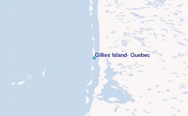