
| Distance / Altitude | Location | Report Date / Time | Live Weather | Wind | Gusts | Temp. | Visibility | Cloud |
|---|---|---|---|---|---|---|---|---|
| 105 km WSW / 14 m | Cartwright (Canada) | 2024-04-26 21:30 local (2024/04/27 00:00 GMT) | no report | calm (4 km/h at 200) | -3°C | 36 km | - mostly cloudy - | |
| 105 km WSW / 12 m | Cartwright Airport (Newfoundland) | 2024-04-26 21:30 local (2024/04/27 00:00 GMT) | Dry and partly cloudy | light winds from the ESE (9 km/h at 110) | -2°C | 14 | broken | |
| 161 km S / 12 m | Mary s Harbour- Nfld (Canada) | 2024-04-26 22:30 local (2024/04/27 01:00 GMT) | no report | light winds from the SW (7 km/h at 230) | 0°C | - | - | |
| 164 km S / 217 m | Mary's Harbour Airport (Newfoundland) | 2024-04-26 21:30 local (2024/04/27 00:00 GMT) | Dry and cloudy | light winds from the WNW (7 km/h at 300) | 0°C | 14 | overcast | |
| 246 km S / 10 m | St. Lunaire - Griquet (Canada) | 2024-04-26 23:02 local (2024/04/27 01:32 GMT) | - | calm (3 km/h at 301) | -2°C | - | - - 0 |
| Contours: | Roads & Rivers: | Select a
tide station / surf break / city |

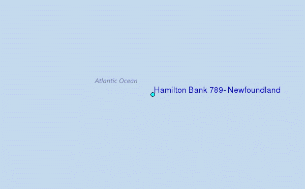
Use this relief map to navigate to tide stations, surf breaks and cities that are in the area of Hamilton Bank 789, Newfoundland.
Other Nearby Locations' tide tables and tide charts to Hamilton Bank 789, Newfoundland:
click location name for more details
 Surf breaks close to Hamilton Bank 789, Newfoundland:
|
||
|---|---|---|
| Closest surf break | Ingonish Beach | 537 mi |
| Second closest surf break | Kennington Cove | 580 mi |
| Third closest surf break | Michaud Point | 611 mi |
| Fourth closest surf break | Martinique | 715 mi |
| Fifth closest surf break | Lawrencetown Left Point | 722 mi |

 Nearest
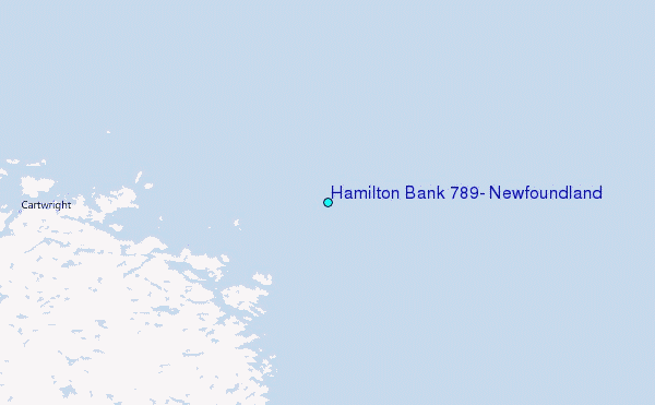