
| Distance / Altitude | Location | Report Date / Time | Live Weather | Wind | Gusts | Temp. | Visibility | Cloud |
|---|---|---|---|---|---|---|---|---|
| 14 km WNW / 217 m | Tunis/Carthage Airport (Tunisia) | 2024-04-26 02:30 local (2024/04/26 01:30 GMT) | - | light winds from the SSE (7 km/h at 150) | 14°C | 10.0 | few | |
| 67 km ENE / 172 m | Kelibia Airport (Tunisia) | 2024-04-26 02:00 local (2024/04/26 01:00 GMT) | - | light winds from the SSE.(Wind varies from 090 to 230 degs) (15 km/h at 150) | 17°C | 10.0 | few | |
| 74 km S / 2 m | Enfidha–Hammamet International Airport (Tunisia) | 2024-04-26 02:30 local (2024/04/26 01:30 GMT) | - | light winds from the S (19 km/h at 190) | — | 0.0 | ||
| 75 km WNW / 216 m | Bizerte/Sidi Ahm Airport (Tunisia) | 2024-04-26 03:00 local (2024/04/26 02:00 GMT) | - | calm (0 km/h at 0) | 9°C | 10.0 | few | |
| 113 km SSE / 216 m | Habib Bourguiba Airport (Tunisia) | 2024-04-26 02:30 local (2024/04/26 01:30 GMT) | - | light winds from the S (19 km/h at 170) | — | 0.0 |

| Contours: | Roads & Rivers: | Select a
tide station / surf break / city |
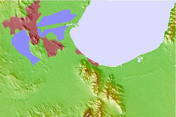
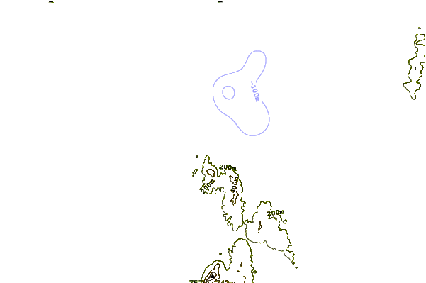
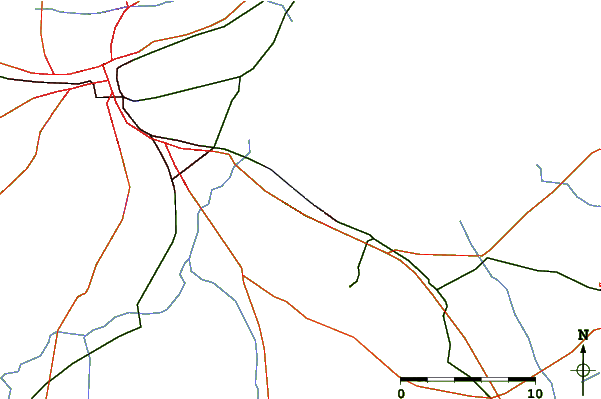
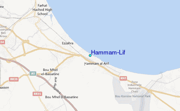
Use this relief map to navigate to tide stations, surf breaks and cities that are in the area of Hammam-Lif.
Other Nearby Locations' tide tables and tide charts to Hammam-Lif:
click location name for more details
 Surf breaks close to Hammam-Lif:
|
||
|---|---|---|
| Closest surf break | Carthage Neptune | 8 mi |
| Second closest surf break | La Marsa (La Coupole) Tunis | 11 mi |
| Third closest surf break | Hamamet ( Le Port) | 28 mi |
| Fourth closest surf break | Kelibya | 44 mi |
| Fifth closest surf break | Banzart | 48 mi |

 Nearest