
| Distance / Altitude | Location | Report Date / Time | Live Weather | Wind | Gusts | Temp. | Visibility | Cloud |
|---|---|---|---|---|---|---|---|---|
| 9 km WSW / 46 m | Easter Island (Chile) | 2024-04-26 22:00 local (2024/04/27 03:00 GMT) | Clouds developing | fresh winds from the ESE (33 km/h at 110) | 19°C | 30 km | scattered | |
| 9 km WSW / 46 m | Easter Island (Chile) | 2024-04-26 22:00 local (2024/04/27 03:00 GMT) | Dry and partly cloudy | fresh winds from the ESE (33 km/h at 110) | 19°C | 10.0 | scattered scattered - | |
| 1531 km N / - m | SHIP1990 (ocean) | 2024-04-26 21:00 local (2024/04/27 02:00 GMT) | State of sky unchanged | extremely windy from the NNE (183 km/h at 20) | 25°C | 10 km | mostly cloudy | |
| 2523 km E / 3 m | BUOY-32ST0 (Marine) | 2024-04-26 22:30 local (2024/04/27 03:30 GMT) | moderate winds from the ESE (25 km/h at 120) | 21°C | - | |||
| 2614 km WSW / 89 m | Mangareva (French Polynesia) | 2024-04-26 22:00 local (2024/04/27 03:00 GMT) | Rain showers | calm (2 km/h at 50) | 24°C | 50 km | - no observation - |
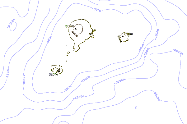
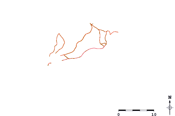
| Contours: | Roads & Rivers: | Select a
tide station / surf break / city |
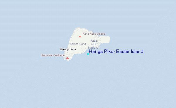
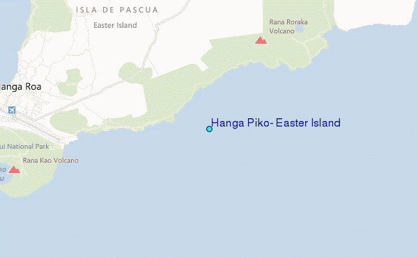
Use this relief map to navigate to tide stations, surf breaks and cities that are in the area of Hanga Piko, Easter Island.
Other Nearby Locations' tide tables and tide charts to Hanga Piko, Easter Island:
click location name for more details
 Surf breaks close to Hanga Piko, Easter Island:
|
||
|---|---|---|
| Closest surf break | Akahanga | 1 mi |
| Second closest surf break | Huareva | 1 mi |
| Third closest surf break | Koe Koe | 1 mi |
| Fourth closest surf break | Vaihu | 2 mi |
| Fifth closest surf break | Hanga Poukura | 2 mi |

 Nearest