
| Distance / Altitude | Location | Report Date / Time | Live Weather | Wind | Gusts | Temp. | Visibility | Cloud |
|---|---|---|---|---|---|---|---|---|
| 30 km E / 15 m | ASCATC40E17N (Marine) | 2026-07-02 10:16 local (2026/07/02 07:16 GMT) | light winds from the NW (15 km/h at 322) | — | - km | |||
| 47 km ENE / 15 m | ASCATC41E17N (Marine) | 2026-07-02 10:16 local (2026/07/02 07:16 GMT) | light winds from the N (15 km/h at 350) | — | - km | |||
| 122 km WNW / 15 m | ASCATC39E17N (Marine) | 2026-07-02 10:16 local (2026/07/02 07:16 GMT) | moderate winds from the NW (24 km/h at 325) | — | - km | |||
| 124 km NNE / 15 m | ASCATC41E18N (Marine) | 2026-07-02 10:16 local (2026/07/02 07:16 GMT) | light winds from the NW (11 km/h at 312) | — | - km | |||
| 138 km NW / 15 m | ASCATC40E18N (Marine) | 2026-07-02 10:16 local (2026/07/02 07:16 GMT) | moderate winds from the NW (24 km/h at 307) | — | - km | |||
| 147 km NW / 15 m | ASCATC39E18N (Marine) | 2026-07-02 10:16 local (2026/07/02 07:16 GMT) | moderate winds from the NW (25 km/h at 307) | — | - km | |||
| 160 km SE / 15 m | ASCATC41E16N (Marine) | 2026-07-02 10:17 local (2026/07/02 07:17 GMT) | light winds from the NW (8 km/h at 317) | — | - km | |||
| 169 km ENE / 15 m | ASCATC42E17N (Marine) | 2026-07-02 10:16 local (2026/07/02 07:16 GMT) | calm (3 km/h at 181) | — | - km | |||
| 171 km ESE / 15 m | ASCATC42E16N (Marine) | 2026-07-02 10:17 local (2026/07/02 07:17 GMT) | calm (3 km/h at 298) | — | - km | |||
| 188 km NE / 15 m | ASCATC42E18N (Marine) | 2026-07-02 10:16 local (2026/07/02 07:16 GMT) | calm (5 km/h at 207) | — | - km |
| Contours: | Roads & Rivers: | Select a
tide station / surf break / city |
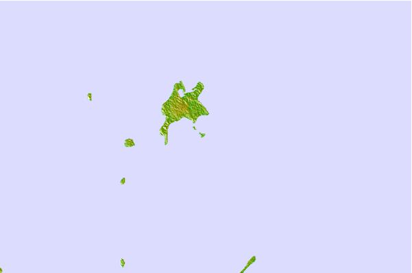

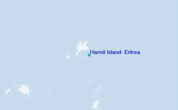
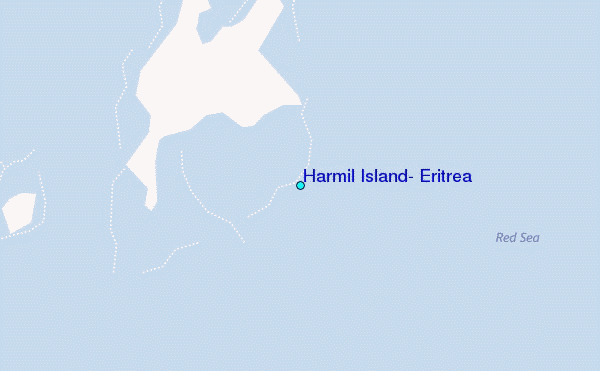
Use this relief map to navigate to tide stations, surf breaks and cities that are in the area of Harmil Island, Eritrea.
Other Nearby Locations' tide tables and tide charts to Harmil Island, Eritrea:
click location name for more details
 Surf breaks close to Harmil Island, Eritrea:
|
||
|---|---|---|
| Closest surf break | Marsa Alaam | 687 mi |
| Second closest surf break | Pirights | 848 mi |
| Third closest surf break | Qulansiyah | 928 mi |
| Fourth closest surf break | Eilat (Green Beach) | 961 mi |
| Fifth closest surf break | Mangaf | 1008 mi |


 Nearest
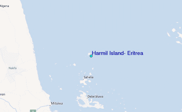