
| Distance / Altitude | Location | Report Date / Time | Live Weather | Wind | Gusts | Temp. | Visibility | Cloud |
|---|---|---|---|---|---|---|---|---|
| 18 km NNE / 9 m | Westermarkelsdurf (Germany) | 2024-05-04 00:00 local (2024/05/03 22:00 GMT) | Continuous light rain | strong winds from the W (40 km/h at 270) | 12°C | 5.0 km | - overcast - | |
| 20 km SW / 8 m | Sehlendorf wx (Germany) | 2024-05-04 01:07 local (2024/05/03 23:07 GMT) | dry | calm (5 km/h at 264) | 13°C | - | - - 0 | |
| 47 km SW / 28 m | Doernick (Germany) | 2024-05-04 01:00 local (2024/05/03 23:00 GMT) | Rain and snow or hail | light winds from the W (11 km/h at 260) | 13°C | 38 km | overcast | |
| 48 km W / 26 m | Leuchtturm Kiel (Germany) | 2024-05-03 22:51 local (2024/05/03 20:51 GMT) | no report | light winds from the W (18 km/h at 260) | 13°C | - | - | |
| 49 km N / 4 m | Langoe (Denmark) | 2024-05-04 01:00 local (2024/05/03 23:00 GMT) | - | moderate winds from the W (20 km/h at 260) | 11°C | - | no observation |
| Contours: | Roads & Rivers: | Select a
tide station / surf break / city |
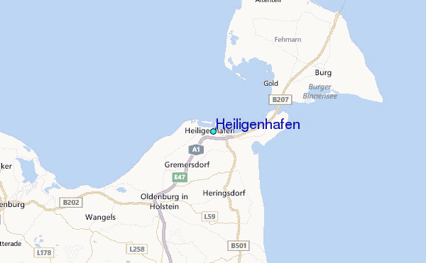
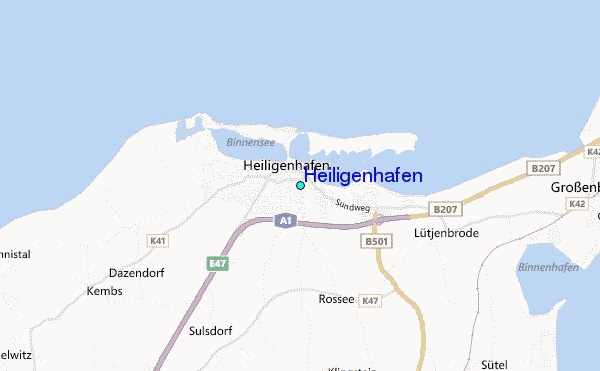
Use this relief map to navigate to tide stations, surf breaks and cities that are in the area of Heiligenhafen.
Other Nearby Locations' tide tables and tide charts to Heiligenhafen:
click location name for more details
 Surf breaks close to Heiligenhafen:
|
||
|---|---|---|
| Closest surf break | Dazendorf | 2 mi |
| Second closest surf break | Hohwachter Bucht | 12 mi |
| Third closest surf break | Fehmarn | 13 mi |
| Fourth closest surf break | Pelzerhaken | 14 mi |
| Fifth closest surf break | Damp | 41 mi |

 Nearest
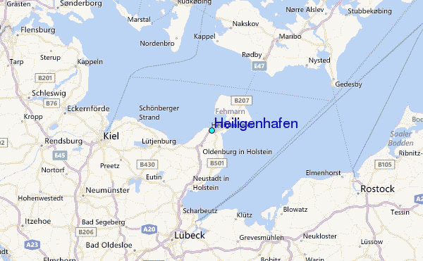