
| Distance / Altitude | Location | Report Date / Time | Live Weather | Wind | Gusts | Temp. | Visibility | Cloud |
|---|---|---|---|---|---|---|---|---|
| 35 km N / 18 m | Wakayama (Japan) | 2024-05-08 07:00 local (2024/05/07 22:00 GMT) | - | light winds from the NNW (9 km/h at 340) | 16°C | 40 km | no observation | |
| 35 km SE / 386 m | Nankishirahama Airport (Japan) | 2024-05-08 08:00 local (2024/05/07 23:00 GMT) | - | light winds from the NNW (19 km/h at 330) | 19°C | 10.0 | few | |
| 49 km NW / 112 m | Sumoto (Japan) | 2024-05-08 09:00 local (2024/05/08 00:00 GMT) | Rain and snow or hail | light winds from the NNE (9 km/h at 30) | 16°C | 40 km | no observation | |
| 50 km W / 108 m | Tokushima Airport (Japan) | 2024-05-08 08:00 local (2024/05/07 23:00 GMT) | Dry and partly cloudy | moderate winds from the NNW (28 km/h at 330) | 17°C | 10.0 | few scattered broken | |
| 51 km W / 120 m | Tokushima (Japan) | 2024-05-08 09:00 local (2024/05/08 00:00 GMT) | - | light winds from the NW (19 km/h at 320) | 19°C | 40 km | no observation |
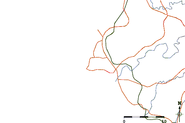
| Contours: | Roads & Rivers: | Select a
tide station / surf break / city |
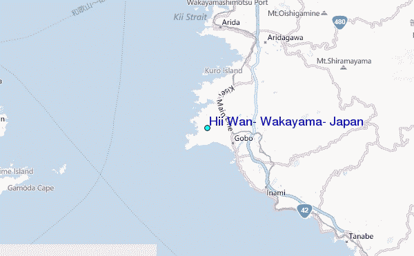
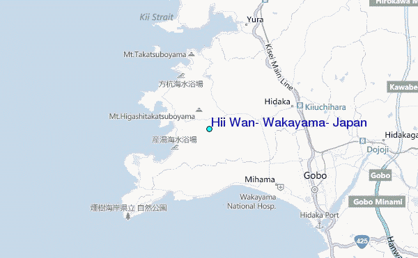
Use this relief map to navigate to tide stations, surf breaks and cities that are in the area of Hii Wan, Wakayama, Japan.
Other Nearby Locations' tide tables and tide charts to Hii Wan, Wakayama, Japan:
click location name for more details
 Surf breaks close to Hii Wan, Wakayama, Japan:
|
||
|---|---|---|
| Closest surf break | Gomoda | 21 mi |
| Second closest surf break | Nunoshima | 32 mi |
| Third closest surf break | Tainohama | 33 mi |
| Fourth closest surf break | Hashikui Bay | 34 mi |
| Fifth closest surf break | Teba Shima | 44 mi |

 Nearest
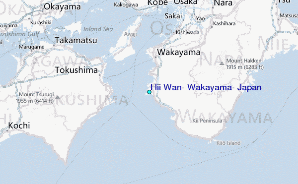