
| Distance / Altitude | Location | Report Date / Time | Live Weather | Wind | Gusts | Temp. | Visibility | Cloud |
|---|---|---|---|---|---|---|---|---|
| 16 km S / 241 m | Matsuyama (Japan) | 2025-12-24 08:00 local (2025/12/23 23:00 GMT) | Continuous light rain | light winds from the NE (7 km/h at 40) | 9°C | 40 km | no observation | |
| 20 km S / 475 m | Matsuyama Airport (Japan) | 2025-12-24 07:00 local (2025/12/23 22:00 GMT) | Shower - in the vicinity | light winds from the ESE (7 km/h at 120) | 9°C | 10.0 | few scattered broken | |
| 35 km WNW / 12 m | Kure (Japan) | 2025-12-24 08:00 local (2025/12/23 23:00 GMT) | Continuous light rain | light winds from the ENE (9 km/h at 60) | 9°C | 35 km | no observation | |
| 51 km NNE / 475 m | New Hiroshima Airport (Japan) | 2025-12-24 07:15 local (2025/12/23 22:15 GMT) | Light rain | light winds from the WNW (7 km/h at 300) | 6°C | 10.0 | few scattered broken | |
| 55 km W / 401 m | Iwakuni Marine Corps Air Station Airport (Japan) | 2025-12-24 06:56 local (2025/12/23 21:56 GMT) | Dry and partly cloudy | calm (0 km/h at 29) | 8°C | 10.0 | few broken broken | |
| 55 km NW / 239 m | Hiroshima (Japan) | 2025-12-24 08:00 local (2025/12/23 23:00 GMT) | Continuous light rain | light winds from the NNE (6 km/h at 20) | 8°C | 33 km | no observation | |
| 61 km WNW / 117 m | Roppommatsu wx (Japan) | 2025-12-24 08:40 local (2025/12/23 23:40 GMT) | dry | calm (0 km/h at 344) | 8°C | - | - - 0 | |
| 68 km NE / 3 m | Fukuyama (Japan) | 2025-12-24 08:00 local (2025/12/23 23:00 GMT) | Continuous light rain | calm (2 km/h at 30) | 8°C | 27 km | no observation | |
| 85 km S / 44 m | Uwajima (Japan) | 2025-12-24 08:00 local (2025/12/23 23:00 GMT) | Rain and snow or hail | light winds from the SE (6 km/h at 130) | 11°C | 40 km | no observation | |
| 85 km ESE / 4 m | Kochi(47893-1) (Japan) | 2025-12-24 08:00 local (2025/12/23 23:00 GMT) | Continuous light rain | wind obs. (11 kph from 270 degs) was rejected (- km/h at -) | 12°C | 40 km | - no observation - |

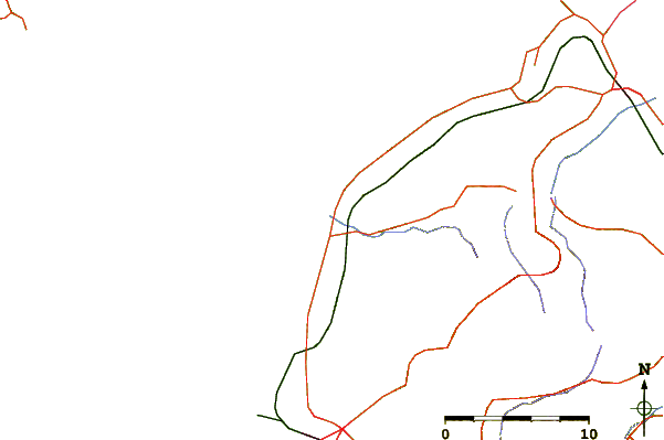
| Contours: | Roads & Rivers: | Select a
tide station / surf break / city |
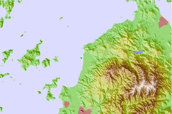
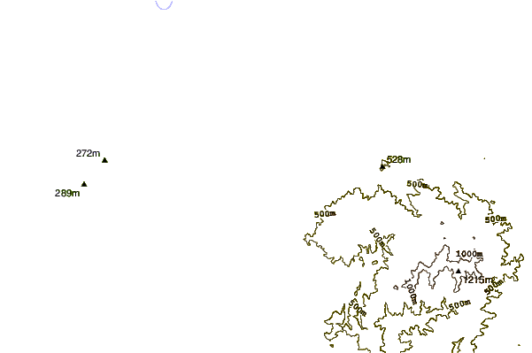
Use this relief map to navigate to tide stations, surf breaks and cities that are in the area of Hojo.
Other Nearby Locations' tide tables and tide charts to Hojo:
click location name for more details
 Surf breaks close to Hojo:
|
||
|---|---|---|
| Closest surf break | Niyodo Rivermouth | 61 mi |
| Second closest surf break | Monabe Rivermouth | 66 mi |
| Third closest surf break | Yasuda Rivermouth | 78 mi |
| Fourth closest surf break | Ikumi Beach | 92 mi |
| Fifth closest surf break | Osaki Point | 92 mi |


 Nearest
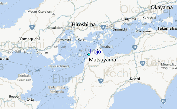