
| Distance / Altitude | Location | Report Date / Time | Live Weather | Wind | Gusts | Temp. | Visibility | Cloud |
|---|---|---|---|---|---|---|---|---|
| 12 km W / 3 m | SHIP5395 (Marine) | 2026-06-09 03:00 local (2026/06/09 11:00 GMT) | light winds from the N (8 km/h at 350) | 9°C | - | |||
| 14 km W / 3 m | BUOY-MIXA2 (Marine) | 2026-06-09 04:32 local (2026/06/09 12:32 GMT) | light winds from the SE (9 km/h at 130) | 9°C | - | |||
| 41 km WNW / 3 m | BUOY-GPXA2 (Marine) | 2026-06-09 04:32 local (2026/06/09 12:32 GMT) | calm (2 km/h at 80) | 9°C | - | |||
| 55 km WNW / 3 m | BUOY-PAXA2 (Marine) | 2026-06-09 04:32 local (2026/06/09 12:32 GMT) | calm (2 km/h at 290) | 8°C | - | |||
| 56 km S / 3 m | BUOY-FFIA2 (Marine) | 2026-06-09 04:00 local (2026/06/09 12:00 GMT) | light winds from the N (13 km/h at 10) | 10°C | - | |||
| 34 km WNW / 15 m | SHIP5407 (Marine) | 2026-06-09 04:00 local (2026/06/09 12:00 GMT) | light winds from the NNW (11.16 km/h at 330) | — | - km | |||
| 41 km WNW / 3 m | BUOY-GPXA2 (Marine) | 2026-06-09 04:32 local (2026/06/09 12:32 GMT) | calm (2 km/h at 80) | 9°C | - | |||
| 55 km WNW / 3 m | BUOY-PAXA2 (Marine) | 2026-06-09 04:32 local (2026/06/09 12:32 GMT) | calm (2 km/h at 290) | 8°C | - | |||
| 56 km S / 3 m | BUOY-FFIA2 (Marine) | 2026-06-09 04:00 local (2026/06/09 12:00 GMT) | light winds from the N (13 km/h at 10) | 10°C | - | |||
| 57 km WNW / 3 m | BUOY-PBPA2 (Marine) | 2026-06-09 04:10 local (2026/06/09 12:10 GMT) | calm (2 km/h at 350) | 8°C | - |
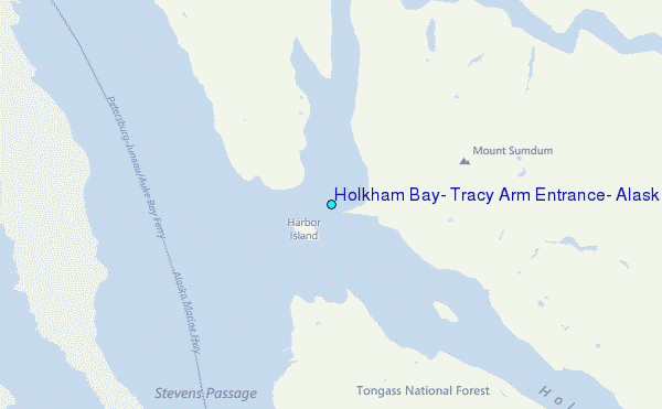
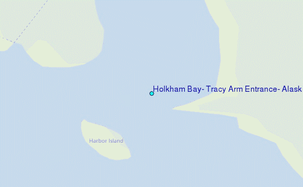
Choose Holkham Bay, Tracy Arm Entrance, Alaska Location Map Zoom:
| Contours: | Roads & Rivers: | Select a
tide station / surf break / city |
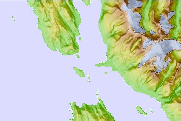
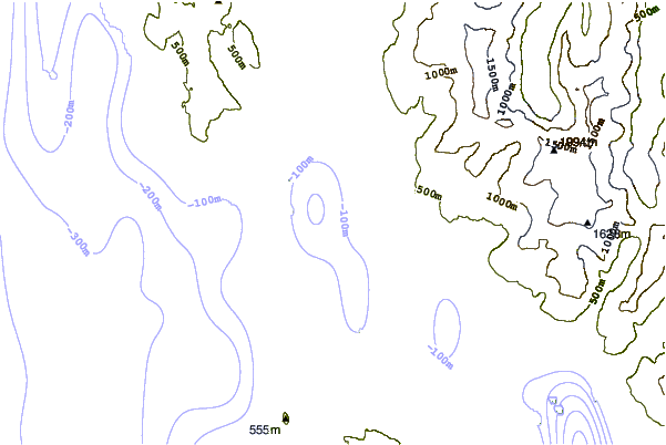
Use this relief map to navigate to tide stations, surf breaks and cities that are in the area of Holkham Bay, Tracy Arm Entrance, Alaska.
Other Nearby Locations' tide tables and tide charts to Holkham Bay, Tracy Arm Entrance, Alaska:
click location name for more details
 Surf breaks close to Holkham Bay, Tracy Arm Entrance, Alaska:
|
||
|---|---|---|
| Closest surf break | Lepus Beach (Haida-Gwaii) | 250 mi |
| Second closest surf break | Cannon Beach | 252 mi |
| Third closest surf break | Graveyards | 255 mi |
| Fourth closest surf break | Ocean Cape | 256 mi |
| Fifth closest surf break | Tow Hill Beach | 265 mi |


 Nearest
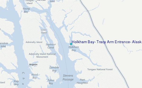