
| Distance / Altitude | Location | Report Date / Time | Live Weather | Wind | Gusts | Temp. | Visibility | Cloud |
|---|---|---|---|---|---|---|---|---|
| 49 km ESE / 155 m | Tuktoyaktuk Airport (N.w. Territories) | 2024-04-26 16:00 local (2024/04/26 22:00 GMT) | Dry and partly cloudy | light winds from the E (17 km/h at 90) | -12°C | 24 | broken | |
| 50 km ESE / 6 m | Tuktoyaktuk-Nwt (Canada) | 2024-04-26 16:00 local (2024/04/26 22:00 GMT) | no report | light winds from the ENE (14 km/h at 70) | -12°C | - | - no observation - | |
| 53 km WSW / 17 m | Pelly Island- Nwt (Canada) | 2024-04-26 16:00 local (2024/04/26 22:00 GMT) | no report | light winds from the NE (19 km/h at 40) | -13°C | - | - no observation - | |
| 53 km WSW / 2 m | Pelly Island Airport (Canada) | 2024-04-26 16:00 local (2024/04/26 22:00 GMT) | - | light winds from the NE (19 km/h at 50) | -13°C | 0.0 | ||
| 88 km S / 261 m | Storm Hills Airport (Canada) | 2024-04-26 15:00 local (2024/04/26 21:00 GMT) | no report | moderate winds from the E (28 km/h at 80) | -17°C | - | - no observation - |
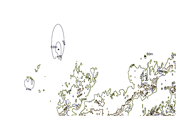
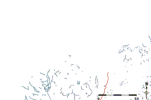
| Contours: | Roads & Rivers: | Select a
tide station / surf break / city |
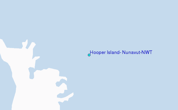
Use this relief map to navigate to tide stations, surf breaks and cities that are in the area of Hooper Island, Nunavut/NWT.
Other Nearby Locations' tide tables and tide charts to Hooper Island, Nunavut/NWT:
click location name for more details
 Surf breaks close to Hooper Island, Nunavut/NWT:
|
||
|---|---|---|
| Closest surf break | Graveyards | 720 mi |
| Second closest surf break | Ocean Cape | 721 mi |
| Third closest surf break | Cannon Beach | 723 mi |
| Fourth closest surf break | Bird Point (Tidal Bore) | 792 mi |
| Fifth closest surf break | Termination Point | 983 mi |

 Nearest
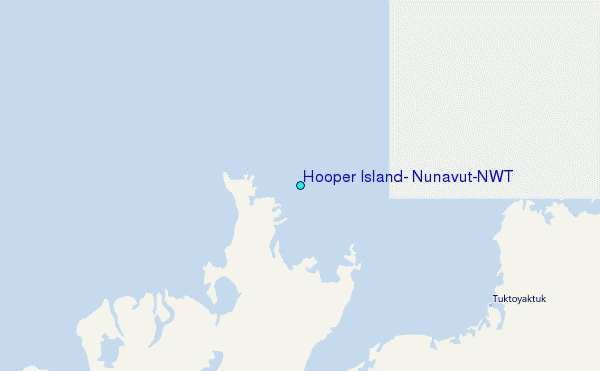