
| Distance / Altitude | Location | Report Date / Time | Live Weather | Wind | Gusts | Temp. | Visibility | Cloud |
|---|---|---|---|---|---|---|---|---|
| 176 km S / 197 m | Gimwa Rws Airport (South Korea) | 2024-04-26 13:10 local (2024/04/26 04:40 GMT) | Clear | calm (4 km/h at 250) | 25°C | 10.0 | ||
| 182 km S / 250 m | Bangsan RWS Airport (South Korea) | 2024-04-26 13:10 local (2024/04/26 04:40 GMT) | Clear | wind obs. (6 kph from 190 degs) was rejected (- km/h at -) | 25°C | 10.0 | ||
| 189 km S / 155 m | Cheorwon (South Korea) | 2024-04-26 13:30 local (2024/04/26 05:00 GMT) | no report | calm (4 km/h at 70) | 9°C | 40 | - clear - | |
| 194 km SSE / 242 m | Sokcho (South Korea) | 2024-04-26 13:30 local (2024/04/26 05:00 GMT) | no report | light winds from the SE (15 km/h at 140) | 24°C | 50 km | - mostly cloudy - | |
| 196 km S / 288 m | Sachang (South Korea) | 2024-04-26 13:10 local (2024/04/26 04:40 GMT) | - | calm (4 km/h at 210) | 25°C | 10.0 | few |
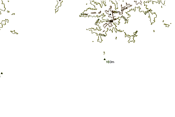
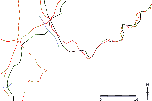
| Contours: | Roads & Rivers: | Select a
tide station / surf break / city |
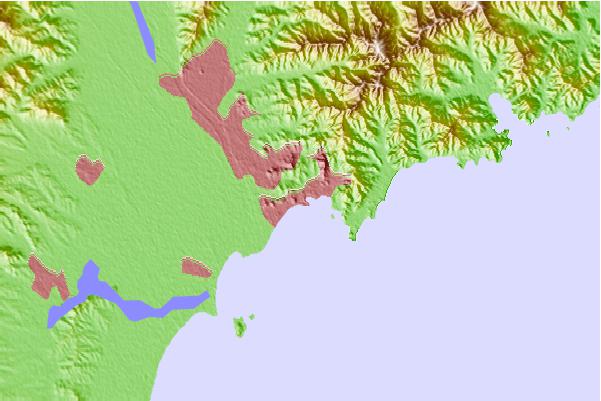
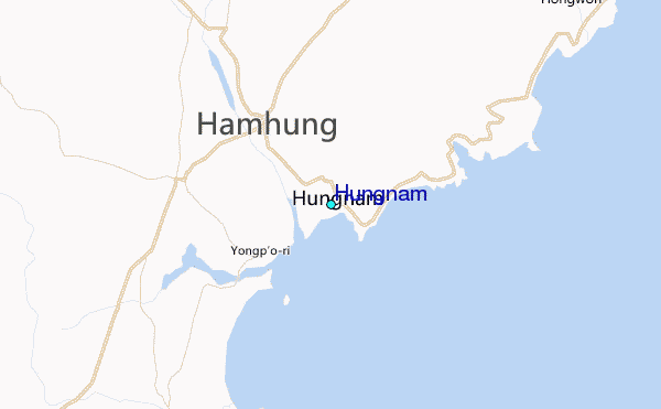
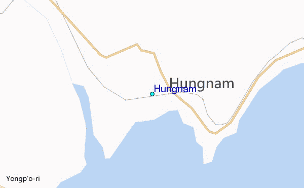
Use this relief map to navigate to tide stations, surf breaks and cities that are in the area of Hungnam.
Other Nearby Locations' tide tables and tide charts to Hungnam:
click location name for more details
 Surf breaks close to Hungnam:
|
||
|---|---|---|
| Closest surf break | Songdojin ni | 94 mi |
| Second closest surf break | 38 Line | 140 mi |
| Third closest surf break | Ingu Beach | 141 mi |
| Fourth closest surf break | Jumunjin | 150 mi |
| Fifth closest surf break | Gyongpo Beach | 156 mi |

 Nearest
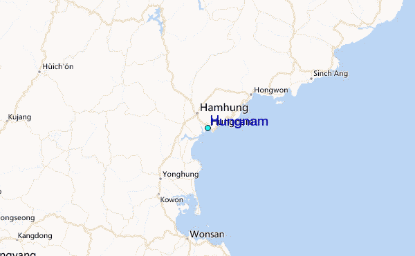