
| Distance / Altitude | Location | Report Date / Time | Live Weather | Wind | Gusts | Temp. | Visibility | Cloud |
|---|---|---|---|---|---|---|---|---|
| 16 km SSW / 108 m | Hurguada Airport (Egypt) | 2024-04-26 05:00 local (2024/04/26 03:00 GMT) | no report | light winds from the NW (9 km/h at 320) | 25°C | 10 | - clear - | |
| 17 km SSW / 213 m | Hurguada Airport (Egypt) | 2024-04-26 05:00 local (2024/04/26 03:00 GMT) | - | light winds from the NW (9 km/h at 320) | — | 0.0 | ||
| 97 km NNE / 210 m | Sharm EL Sheikhi Airport (Egypt) | 2024-04-26 05:00 local (2024/04/26 03:00 GMT) | - | light winds from the N (11 km/h at 10) | — | 0.0 | ||
| 110 km N / 35 m | El Tor Airport (Egypt) | 2024-04-26 05:00 local (2024/04/26 03:00 GMT) | - | light winds from the NW (19 km/h at 320) | 24°C | 30 km | - clear - | |
| 131 km SSE / 107 m | Kosseir (Egypt) | 2024-04-26 05:00 local (2024/04/26 03:00 GMT) | no report | light winds from the WNW (11 km/h at 290) | 26°C | 10 | - clear - |
| Contours: | Roads & Rivers: | Select a
tide station / surf break / city |
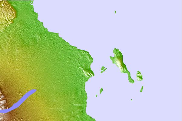
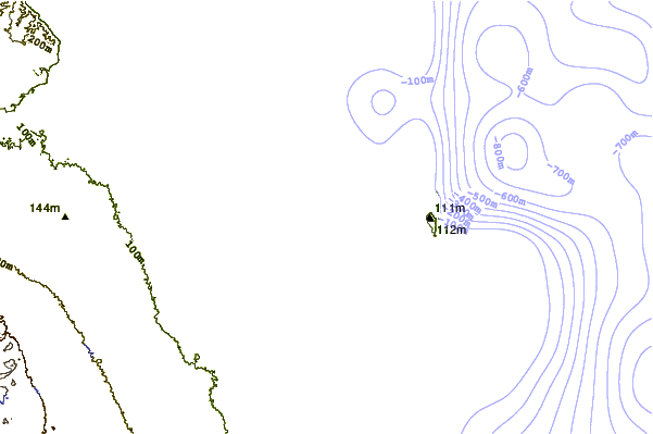
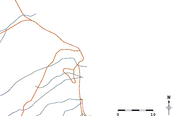
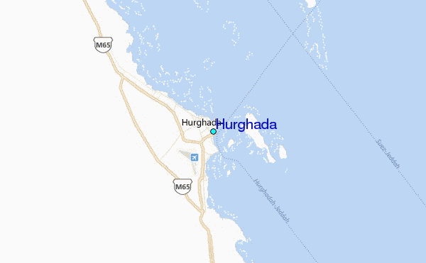
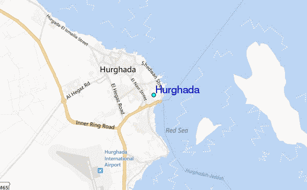
Use this relief map to navigate to tide stations, surf breaks and cities that are in the area of Hurghada.
Other Nearby Locations' tide tables and tide charts to Hurghada:
click location name for more details
 Surf breaks close to Hurghada:
|
||
|---|---|---|
| Closest surf break | Marsa Alaam | 160 mi |
| Second closest surf break | Eilat (Green Beach) | 174 mi |
| Third closest surf break | Gaza Harbourmouth | 298 mi |
| Fourth closest surf break | Ziqim ( Zikim) Beach | 305 mi |
| Fifth closest surf break | Ashkelon Shimshon | 310 mi |

 Nearest
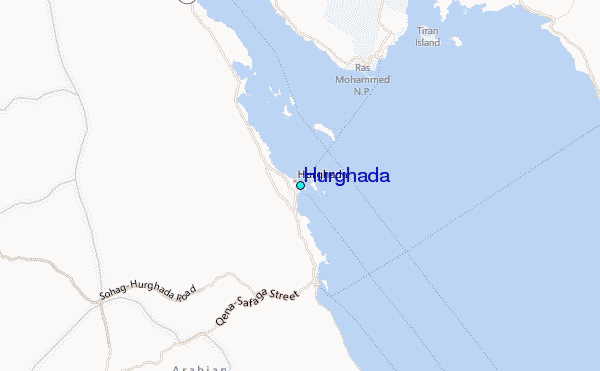