
| Distance / Altitude | Location | Report Date / Time | Live Weather | Wind | Gusts | Temp. | Visibility | Cloud |
|---|---|---|---|---|---|---|---|---|
| 11 km WSW / 436 m | Aguadilla/Rafael Hernández Airport (Puerto Rico) | 2024-04-26 10:50 local (2024/04/26 14:50 GMT) | Dry and partly cloudy | light winds from the E (15 km/h at 80) | 29°C | 16 | scattered | |
| 12 km ESE / 126 m | Villa Norma wx (Puerto Rico) | 2024-04-26 11:40 local (2024/04/26 15:40 GMT) | dry | light winds from the NNE (18 km/h at 31) | 27°C | - | - - 0 | |
| 14 km SW / 70 m | Camaceyes wx (Puerto Rico) | 2024-04-26 12:05 local (2024/04/26 16:05 GMT) | dry | calm (2 km/h at 287) | 31°C | - | - - 0 | |
| 15 km SSW / 93 m | Comunidad Ramos wx (Puerto Rico) | 2024-04-26 12:02 local (2024/04/26 16:02 GMT) | dry | calm (0 km/h at 284) | 31°C | - | - - 0 | |
| 19 km E / 36 m | Alta Monte wx (Puerto Rico) | 2024-04-26 12:11 local (2024/04/26 16:11 GMT) | dry | light winds from the N (13 km/h at 352) | 29°C | - | - - 0 |
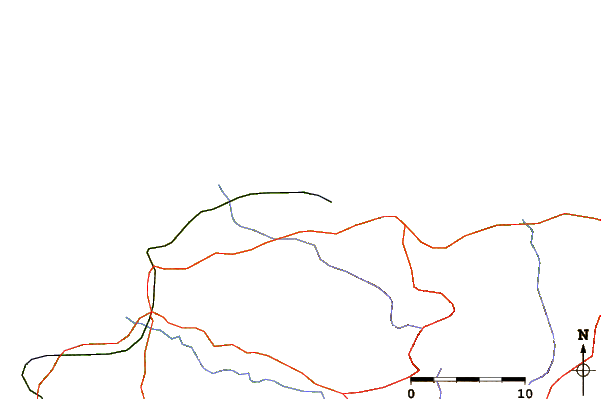
| Contours: | Roads & Rivers: | Select a
tide station / surf break / city |
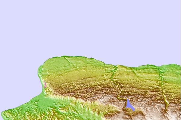
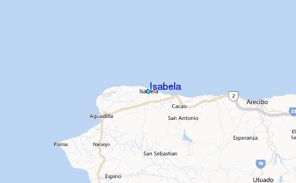
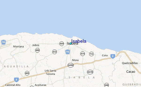
Use this relief map to navigate to tide stations, surf breaks and cities that are in the area of Isabela.
Other Nearby Locations' tide tables and tide charts to Isabela:
click location name for more details
 Surf breaks close to Isabela:
|
||
|---|---|---|
| Closest surf break | Middles | 1 mi |
| Second closest surf break | Dunes | 2 mi |
| Third closest surf break | Playa Motones | 3 mi |
| Fourth closest surf break | Jobo's | 4 mi |
| Fifth closest surf break | Shacks | 6 mi |

 Nearest
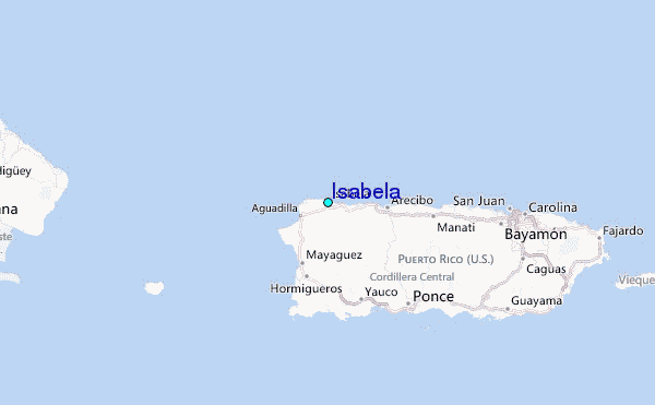