
| Distance / Altitude | Location | Report Date / Time | Live Weather | Wind | Gusts | Temp. | Visibility | Cloud |
|---|---|---|---|---|---|---|---|---|
| 128 km ENE / - m | SHIP8190 (ocean) | 2024-04-26 15:01 local (2024/04/26 11:01 GMT) | Haze | light winds from the NNW (13 km/h at 330) | 28°C | 10 km | clear | |
| 130 km WSW / 7 m | Doha Hamad International Airport (Qatar) | 2024-04-26 15:00 local (2024/04/26 11:00 GMT) | - | light winds from the ENE (11 km/h at 60) | — | 0.0 | ||
| 133 km WSW / 216 m | Doha International Airport (Qatar) | 2024-04-26 15:30 local (2024/04/26 11:30 GMT) | - | light winds from the ENE.(Wind varies from 040 to 100 degs) (15 km/h at 70) | — | 0.0 | ||
| 137 km SW / 5 m | Umm Said (Qatar) | 2024-04-26 16:00 local (2024/04/26 12:00 GMT) | - | light winds from the E (9 km/h at 80) | 30°C | 40 km | no observation | |
| 140 km SW / 5 m | Qatar Paragliding (Qatar) | 2024-04-26 16:00 local (2024/04/26 12:00 GMT) | - | calm (0 km/h at 122) | — | - | - - 0 |
| Contours: | Roads & Rivers: | Select a
tide station / surf break / city |
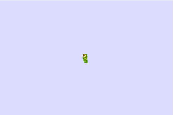
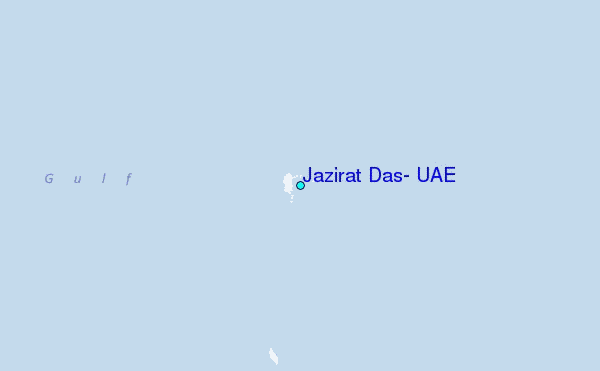
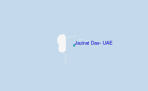
Use this relief map to navigate to tide stations, surf breaks and cities that are in the area of Jazirat Das, U.A.E..
Other Nearby Locations' tide tables and tide charts to Jazirat Das, U.A.E.:
click location name for more details
 Surf breaks close to Jazirat Das, U.A.E.:
|
||
|---|---|---|
| Closest surf break | Jebal Ali Lefts | 131 mi |
| Second closest surf break | Jumeirah Beach | 145 mi |
| Third closest surf break | Al Hamra - Ras Al Khema | 185 mi |
| Fourth closest surf break | Tim's Reef | 219 mi |
| Fifth closest surf break | Mangaf | 400 mi |

 Nearest
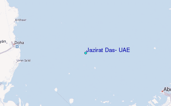