
| Distance / Altitude | Location | Report Date / Time | Live Weather | Wind | Gusts | Temp. | Visibility | Cloud |
|---|---|---|---|---|---|---|---|---|
| 25 km SSW / 154 m | Izuhara(47800-1) (Japan) | 2024-04-26 23:00 local (2024/04/26 14:00 GMT) | - | calm (2 km/h at 290) | 16°C | 40 km | no observation | |
| 54 km WSW / 15 m | SHIP2731 (Marine) | 2024-04-26 23:00 local (2024/04/26 14:00 GMT) | - (- km/h at -) | — | - km | |||
| 68 km WNW / 3 m | BUOY-22104 South Korea (Marine) | 2024-04-26 23:00 local (2024/04/26 14:00 GMT) | light winds from the SSW (14 km/h at 200) | 16°C | - | |||
| 74 km SSE / 16 m | Iki Airport (isl (Japan) | 2024-04-26 22:00 local (2024/04/26 13:00 GMT) | Dry and partly cloudy | calm (2 km/h at 1) | 16°C | 10.0 | no significant cloud | |
| 95 km NW / 239 m | Pusan East (K-9) Air Base (South Korea) | 2024-04-26 23:00 local (2024/04/26 14:00 GMT) | - | light winds from the SSW (6 km/h at 200) | 15°C | 5.0 km | - few - |
| Contours: | Roads & Rivers: | Select a
tide station / surf break / city |
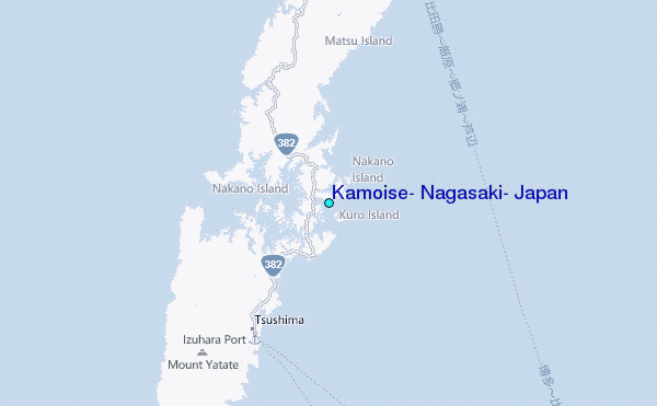
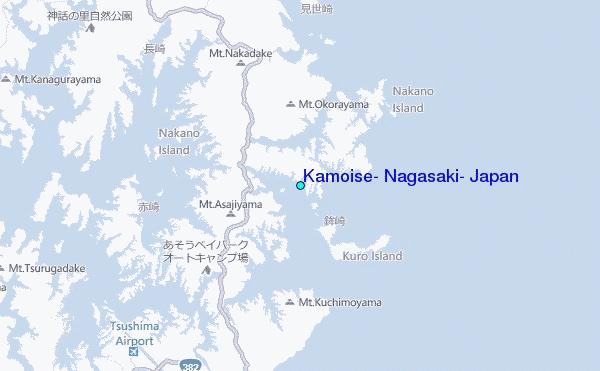
Use this relief map to navigate to tide stations, surf breaks and cities that are in the area of Kamoise, Nagasaki, Japan.
Other Nearby Locations' tide tables and tide charts to Kamoise, Nagasaki, Japan:
click location name for more details
 Surf breaks close to Kamoise, Nagasaki, Japan:
|
||
|---|---|---|
| Closest surf break | Busan (Haeundae Beach) | 58 mi |
| Second closest surf break | Fukuoka | 68 mi |
| Third closest surf break | Nomozaki | 106 mi |
| Fourth closest surf break | Dragons Leaf | 182 mi |
| Fifth closest surf break | Kodogawa | 184 mi |

 Nearest
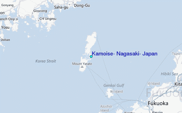