
| Distance / Altitude | Location | Report Date / Time | Live Weather | Wind | Gusts | Temp. | Visibility | Cloud |
|---|---|---|---|---|---|---|---|---|
| 42 km WSW / 20 m | Kaseda-shirakame wx (Japan) | 2026-06-09 14:30 local (2026/06/09 05:30 GMT) | - | calm (3 km/h at 337) | 19°C | - | - - 0 | |
| 45 km N / 474 m | Kagoshima Airport (Japan) | 2026-06-09 13:00 local (2026/06/09 04:00 GMT) | Light rain | light winds from the ESE.(Wind varies from 070 to 160 degs) (9 km/h at 120) | 19°C | 10.0 | few scattered broken | |
| 82 km NE / 475 m | Miyazaki Airport (Japan) | 2026-06-09 13:00 local (2026/06/09 04:00 GMT) | Shower light rain shower | light winds from the SE (13 km/h at 140) | 19°C | 8.0 | few scattered broken | |
| 96 km S / 328 m | Tanegashima Airport (Japan) | 2026-06-09 13:00 local (2026/06/09 04:00 GMT) | Shower light rain shower | light winds from the NE.(Wind varies from 360 to 110 degs) (9 km/h at 50) | 19°C | 6.0 | few scattered broken | |
| 120 km NW / 93 m | Kuratake (Japan) | 2026-06-09 14:00 local (2026/06/09 05:00 GMT) | - | calm (0 km/h at 340) | 19°C | - | - - 0 | |
| 157 km N / 474 m | Kumamoto Airport (Japan) | 2026-06-09 13:00 local (2026/06/09 04:00 GMT) | Light rain | wind obs. (7 kph from 200 degs) was rejected (- km/h at -) | 19°C | 10.0 | few scattered broken | |
| 170 km WSW / 3 m | SHIP5095 (Marine) | 2026-06-09 14:00 local (2026/06/09 05:00 GMT) | light winds from the N (15 km/h at 360) | 21°C | 3.7 | |||
| 170 km WSW / 15 m | SHIP5420 (Marine) | 2026-06-09 14:00 local (2026/06/09 05:00 GMT) | light winds from the N (14.76 km/h at 360) | 24°C | 3.2 km | |||
| 186 km NW / 474 m | Nagasaki Airport (Japan) | 2026-06-09 13:00 local (2026/06/09 04:00 GMT) | Light rain | wind obs. (11 kph from 210 degs) was rejected (- km/h at -) | 22°C | 10.0 | few broken broken | |
| 199 km NW / 5 m | Saga Airport (Japan) | 2026-06-09 13:00 local (2026/06/09 04:00 GMT) | Dry and partly cloudy | light winds from the NNE (11 km/h at 30) | 22°C | 10.0 | few scattered broken |

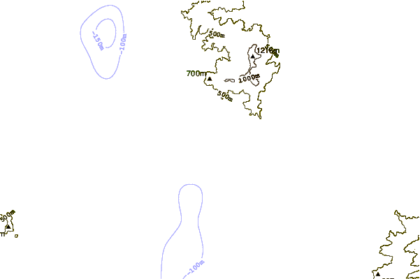
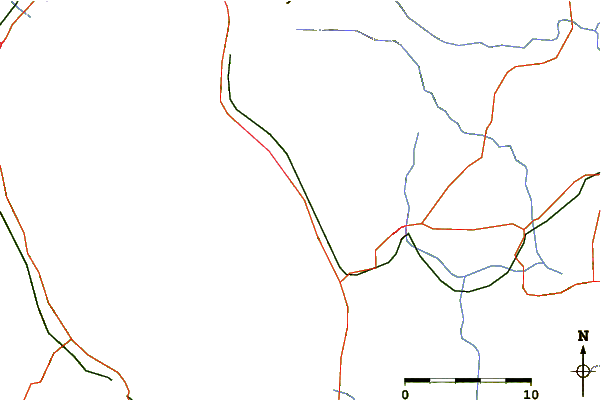
| Contours: | Roads & Rivers: | Select a
tide station / surf break / city |
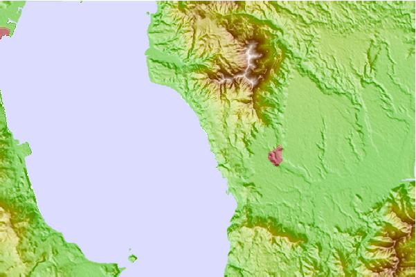
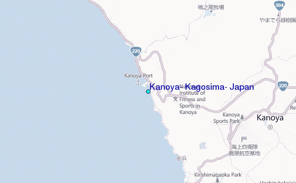
Use this relief map to navigate to tide stations, surf breaks and cities that are in the area of Kanoya, Kagosima, Japan.
Other Nearby Locations' tide tables and tide charts to Kanoya, Kagosima, Japan:
click location name for more details
 Surf breaks close to Kanoya, Kagosima, Japan:
|
||
|---|---|---|
| Closest surf break | Nagata | 27 mi |
| Second closest surf break | Cape Toi | 34 mi |
| Third closest surf break | Kojima | 36 mi |
| Fourth closest surf break | Nichinan | 40 mi |
| Fifth closest surf break | Unnamed | 41 mi |


 Nearest
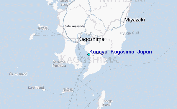