
| Distance / Altitude | Location | Report Date / Time | Live Weather | Wind | Gusts | Temp. | Visibility | Cloud |
|---|---|---|---|---|---|---|---|---|
| 17 km S / 3 m | BUOY-CDEA2 (Marine) | 2024-04-25 18:22 local (2024/04/26 02:22 GMT) | light winds from the WNW (18 km/h at 290) | 9°C | - | |||
| 34 km W / 3 m | BUOY-PLXA2 (Marine) | 2024-04-25 18:48 local (2024/04/26 02:48 GMT) | - (0 km/h at -) | 12°C | - | |||
| 90 km E / 3 m | BUOY-LCNA2 (Marine) | 2024-04-25 19:10 local (2024/04/26 03:10 GMT) | light winds from the NW (17 km/h at 320) | 11°C | - | |||
| 92 km N / 215 m | Kake Airport (Alaska) | 2024-04-25 17:56 local (2024/04/26 01:56 GMT) | Clear | light winds from the SW (7 km/h at 220) | 11°C | 16 | ||
| 92 km SE / 206 m | Klawock Airport (Alaska) | 2024-04-25 17:53 local (2024/04/26 01:53 GMT) | Dry and partly cloudy | light winds from the SSW (9 km/h at 210) | 12°C | 16 | scattered |
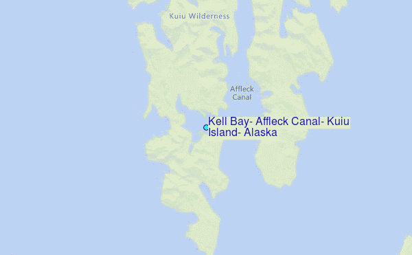
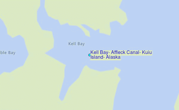
Choose Kell Bay, Affleck Canal, Kuiu Island, Alaska Location Map Zoom:
| Contours: | Roads & Rivers: | Select a
tide station / surf break / city |
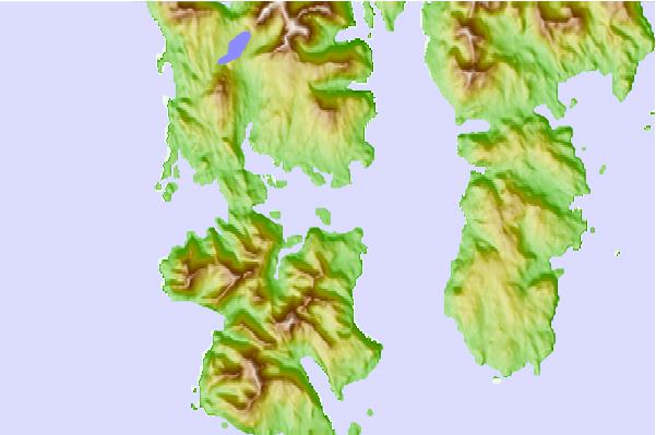
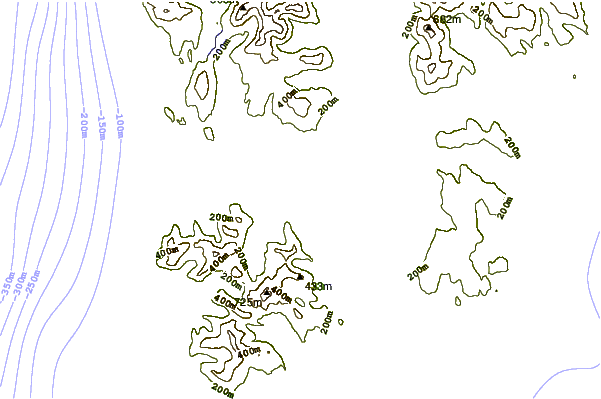
Use this relief map to navigate to tide stations, surf breaks and cities that are in the area of Kell Bay, Affleck Canal, Kuiu Island, Alaska.
Other Nearby Locations' tide tables and tide charts to Kell Bay, Affleck Canal, Kuiu Island, Alaska:
click location name for more details
 Surf breaks close to Kell Bay, Affleck Canal, Kuiu Island, Alaska:
|
||
|---|---|---|
| Closest surf break | Lepus Beach (Haida-Gwaii) | 144 mi |
| Second closest surf break | Tow Hill Beach | 170 mi |
| Third closest surf break | Cannon Beach | 311 mi |
| Fourth closest surf break | Graveyards | 314 mi |
| Fifth closest surf break | Ocean Cape | 315 mi |

 Nearest
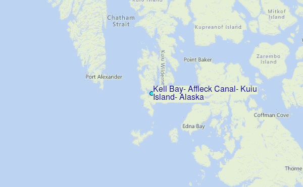