
| Distance / Altitude | Location | Report Date / Time | Live Weather | Wind | Gusts | Temp. | Visibility | Cloud |
|---|---|---|---|---|---|---|---|---|
| 38 km S / 215 m | Rabat/Salé Airport (Morocco) | 2024-04-26 05:30 local (2024/04/26 04:30 GMT) | Dry and partly cloudy | calm (0 km/h at 0) | 9°C | 5.0 | broken | |
| 74 km S / 331 m | Sidi Yahia Zaire (Morocco) | 2024-04-26 06:30 local (2024/04/26 05:30 GMT) | dry | light winds from the W (6 km/h at 261) | 11°C | - | - - 0 | |
| 96 km SSW / 191 m | Ben Slimane Airport (Morocco) | 2024-04-26 05:00 local (2024/04/26 04:00 GMT) | - | calm (4 km/h at 220) | 12°C | 0.0 | ||
| 102 km SSW / 5 m | Mohammedia (Morocco) | 2024-04-26 05:00 local (2024/04/26 04:00 GMT) | no report | light winds from the NW (19 km/h at 320) | 21°C | 8 | - - - | |
| 110 km ESE / 559 m | Meknes/Bassatine Airport (Morocco) | 2024-04-26 05:00 local (2024/04/26 04:00 GMT) | Dry and partly cloudy | light winds from the WNW (7 km/h at 290) | 11°C | 5.0 | scattered |
| Contours: | Roads & Rivers: | Select a
tide station / surf break / city |
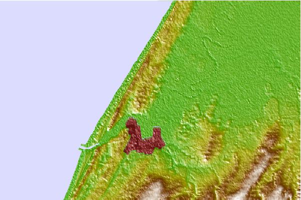
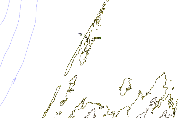
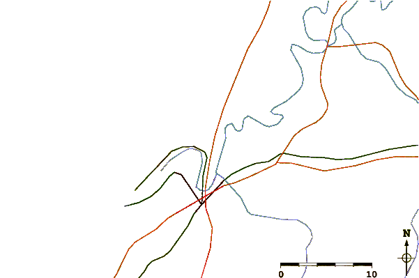
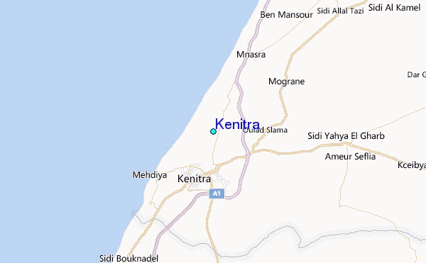
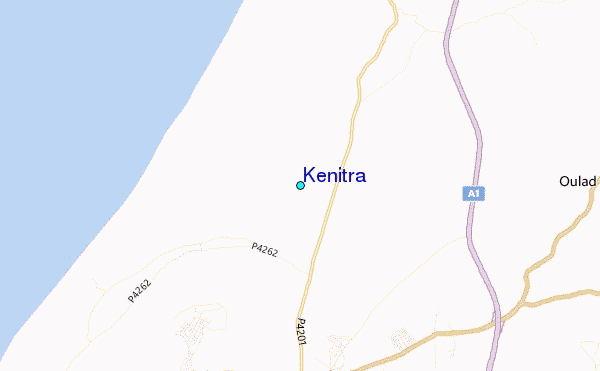
Use this relief map to navigate to tide stations, surf breaks and cities that are in the area of Kénitra.
Other Nearby Locations' tide tables and tide charts to Kénitra:
click location name for more details
 Surf breaks close to Kénitra:
|
||
|---|---|---|
| Closest surf break | Medihya Plage | 8 mi |
| Second closest surf break | Plage des Nations | 14 mi |
| Third closest surf break | Doura | 25 mi |
| Fourth closest surf break | Kbeir | 26 mi |
| Fifth closest surf break | Temara Plage | 33 mi |

 Nearest
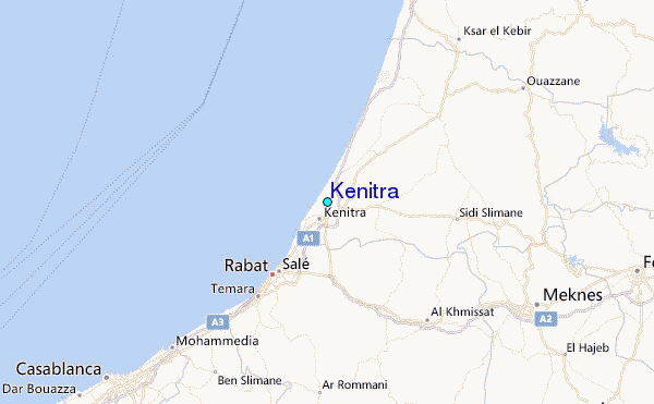