
| Distance / Altitude | Location | Report Date / Time | Live Weather | Wind | Gusts | Temp. | Visibility | Cloud |
|---|---|---|---|---|---|---|---|---|
| 196 km NE / 1587 m | Goroka Highlands Airport (Papua-New Guinea) | 2026-06-09 13:00 local (2026/06/09 03:00 GMT) | visibility reduced by smoke | - (- km/h at -) | 22°C | 30 | - | |
| 286 km SSW / 15 m | SHIP7377 (Marine) | 2026-06-09 12:00 local (2026/06/09 02:00 GMT) | - (- km/h at -) | 27°C | - km | |||
| 288 km ENE / 70 m | Nadzab (Papua New Guinea) | 2026-06-09 13:00 local (2026/06/09 03:00 GMT) | rain | - (- km/h at -) | 25°C | 30 | - - - | |
| 320 km S / 4 m | Coconut Island (Australia) | 2026-06-09 13:00 local (2026/06/09 03:00 GMT) | no report | - (- km/h at -) | 26°C | - | - | |
| 393 km SE / 48 m | Port Moresby (Papua New Guinea) | 2026-06-09 13:00 local (2026/06/09 03:00 GMT) | haze | fresh winds from the SSE (30 km/h at 160) | 26°C | 20 | - | |
| 285 km SSW / 15 m | SHIP6472 (Marine) | 2026-06-09 12:00 local (2026/06/09 02:00 GMT) | - (- km/h at -) | 27°C | - km | |||
| 285 km SSW / 3 m | SHIP5274 (Marine) | 2026-06-09 12:00 local (2026/06/09 02:00 GMT) | - (- km/h at -) | 29°C | - | |||
| 285 km SSW / 3 m | SHIP6281 (Marine) | 2026-06-09 13:00 local (2026/06/09 03:00 GMT) | fresh winds from the ESE (32 km/h at 120) | 27°C | - | |||
| 288 km ENE / 70 m | Nadzab (Papua New Guinea) | 2026-06-09 13:00 local (2026/06/09 03:00 GMT) | rain | - (- km/h at -) | 25°C | 30 | - - - | |
| 319 km S / 4 m | Coconut Island (Australia) | 2026-06-09 13:00 local (2026/06/09 03:00 GMT) | no report | - (- km/h at -) | 26°C | - | - |
| Contours: | Roads & Rivers: | Select a
tide station / surf break / city |
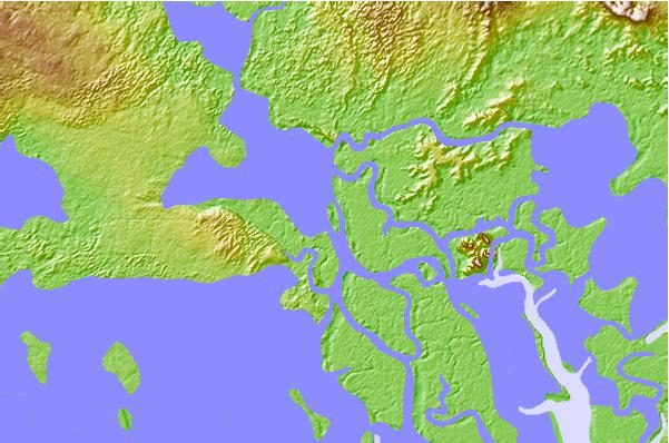
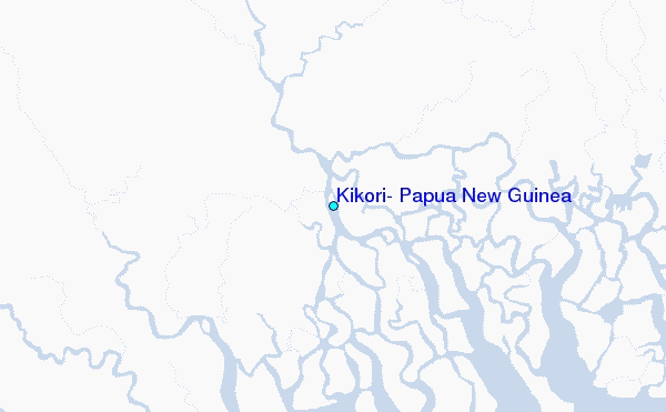
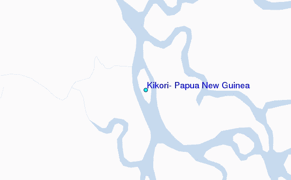
Use this relief map to navigate to tide stations, surf breaks and cities that are in the area of Kikori, Papua New Guinea.
Other Nearby Locations' tide tables and tide charts to Kikori, Papua New Guinea:
click location name for more details
 Surf breaks close to Kikori, Papua New Guinea:
|
||
|---|---|---|
| Closest surf break | Tupira Right | 221 mi |
| Second closest surf break | Forok Point | 265 mi |
| Third closest surf break | The Wharf (Mission Point) | 269 mi |
| Fourth closest surf break | Moem Point | 270 mi |
| Fifth closest surf break | Wewak Point | 271 mi |


 Nearest
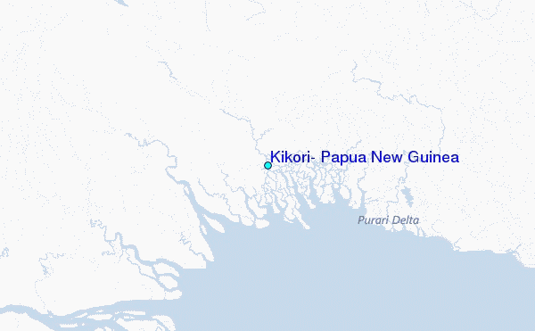