
| Distance / Altitude | Location | Report Date / Time | Live Weather | Wind | Gusts | Temp. | Visibility | Cloud |
|---|---|---|---|---|---|---|---|---|
| 9 km S / 209 m | Plymouth Airport (Massachusetts) | 2026-03-23 20:16 local (2026/03/24 00:16 GMT) | Light snow | light winds from the N.(Wind varies from 005 to 010 degs) (17 km/h at 350) | 1°C | 6 | broken broken | |
| 13 km NNE / 4 m | Marshfield Airport (Massachusetts) | 2026-03-23 20:35 local (2026/03/24 00:35 GMT) | Dry and cloudy | light winds from the N.(Wind varies from 280 to 040 degs) (15 km/h at 350) | 1°C | 14 | few broken overcast | |
| 20 km NW / 36 m | Assinippi wx (United States) | 2026-03-23 21:26 local (2026/03/24 01:26 GMT) | - | calm (3 km/h at 335) | 1°C | - | - - 0 | |
| 21 km N / 31 m | Scituate (Massachusetts) | 2026-03-23 21:08 local (2026/03/24 01:08 GMT) | - | calm (2 km/h at 44) | 1°C | - | - - 0 | |
| 21 km WNW / 37 m | North Hanover wx (United States) | 2026-03-23 21:14 local (2026/03/24 01:14 GMT) | - | calm (3 km/h at 356) | 2°C | - | - - 0 | |
| 24 km N / 40 m | Scituate Center wx (United States) | 2026-03-23 20:05 local (2026/03/24 00:05 GMT) | - | calm (3 km/h at 254) | 1°C | - | - - 0 | |
| 27 km SW / 219 m | Taunton Airport (Massachusetts) | 2026-03-23 20:22 local (2026/03/24 00:22 GMT) | Dry and cloudy | light winds from the N (11 km/h at 1) | 2°C | 16 | scattered overcast | |
| 31 km NW / 19 m | Weymouth (Massachusetts) | 2026-03-23 21:17 local (2026/03/24 01:17 GMT) | - | calm (2 km/h at 67) | — | - | - - 0 | |
| 32 km WNW / 16 m | North Weymouth (Massachusetts) | 2026-03-23 21:14 local (2026/03/24 01:14 GMT) | - | calm (5 km/h at 6) | 1°C | - | - - 0 | |
| 34 km N / - m | SHIP1102 (ocean) | 2026-03-23 19:00 local (2026/03/23 23:00 GMT) | - | fresh winds from the N (36 km/h at 360) | 2°C | - | no observation |
| Contours: | Roads & Rivers: | Select a
tide station / surf break / city |
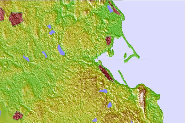
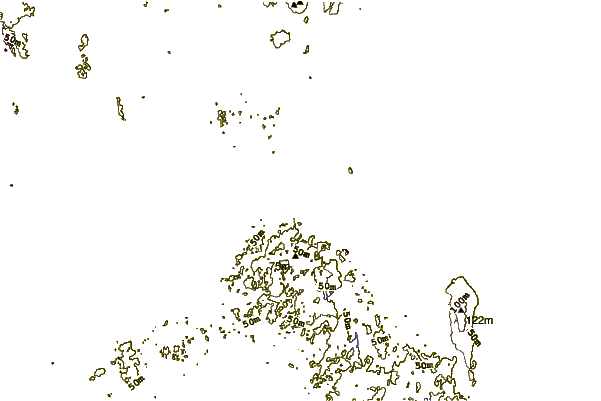
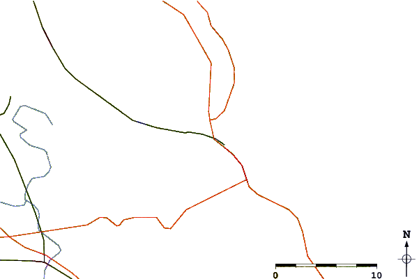
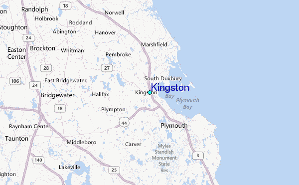
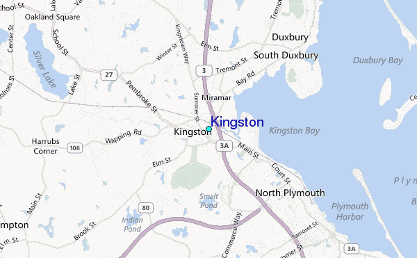
Use this relief map to navigate to tide stations, surf breaks and cities that are in the area of Kingston.
Other Nearby Locations' tide tables and tide charts to Kingston:
click location name for more details
 Surf breaks close to Kingston:
|
||
|---|---|---|
| Closest surf break | Green Harbor | 7 mi |
| Second closest surf break | Marshfield Jetty | 7 mi |
| Third closest surf break | Brant Rock | 8 mi |
| Fourth closest surf break | Fieldstone | 9 mi |
| Fifth closest surf break | Rexham | 11 mi |


 Nearest
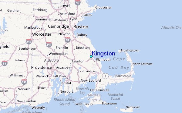