
| Distance / Altitude | Location | Report Date / Time | Live Weather | Wind | Gusts | Temp. | Visibility | Cloud |
|---|---|---|---|---|---|---|---|---|
| 159 km WSW / 15 m | ASCATB151E5S (Marine) | 2025-12-26 20:45 local (2025/12/26 10:45 GMT) | calm (2 km/h at 106) | — | - km | |||
| 204 km W / 15 m | ASCATB151E4S (Marine) | 2025-12-26 20:45 local (2025/12/26 10:45 GMT) | calm (5 km/h at 106) | — | - km | |||
| 213 km W / 15 m | ASCATB151E3S (Marine) | 2025-12-26 20:45 local (2025/12/26 10:45 GMT) | calm (5 km/h at 99) | — | - km | |||
| 223 km WSW / 15 m | ASCATB150E5S (Marine) | 2025-12-26 20:45 local (2025/12/26 10:45 GMT) | calm (4 km/h at 112) | — | - km | |||
| 242 km S / 15 m | ASCATB151E6S (Marine) | 2025-12-26 20:45 local (2025/12/26 10:45 GMT) | light winds from the E (6 km/h at 89) | — | - km | |||
| 256 km WNW / 4 m | Kavieng W.o. (Papua New Guinea) | 2025-12-26 19:00 local (2025/12/26 09:00 GMT) | no report | wind obs. (22 kph from 180 degs) was rejected (- km/h at -) | 30°C | 30 | - | |
| 295 km SSW / 15 m | ASCATB151E7S (Marine) | 2025-12-26 20:45 local (2025/12/26 10:45 GMT) | light winds from the NNE (6 km/h at 26) | — | - km | |||
| 312 km W / 15 m | ASCATB150E4S (Marine) | 2025-12-26 20:46 local (2025/12/26 10:46 GMT) | calm (2 km/h at 294) | — | - km | |||
| 345 km W / 15 m | ASCATB150E3S (Marine) | 2025-12-26 20:46 local (2025/12/26 10:46 GMT) | calm (3 km/h at 109) | — | - km | |||
| 357 km S / 15 m | ASCATB152E7S (Marine) | 2025-12-26 20:44 local (2025/12/26 10:44 GMT) | calm (3 km/h at 232) | — | - km |
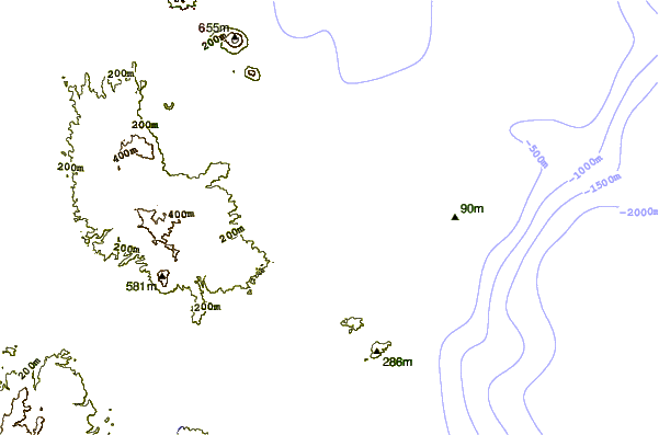
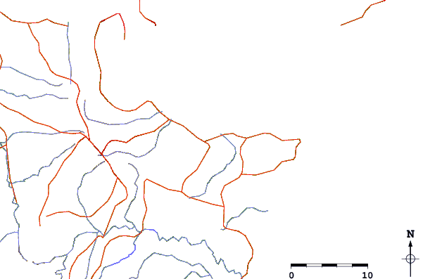
| Contours: | Roads & Rivers: | Select a
tide station / surf break / city |
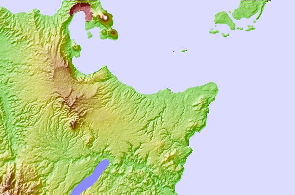
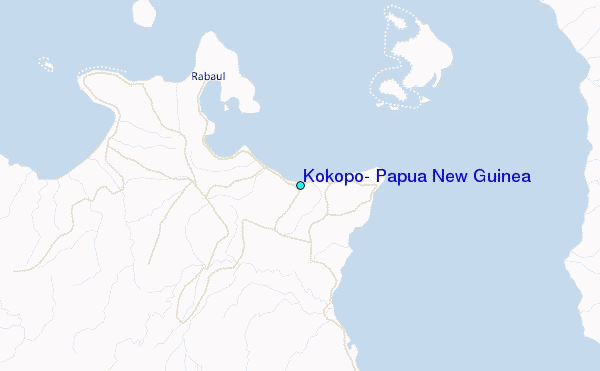
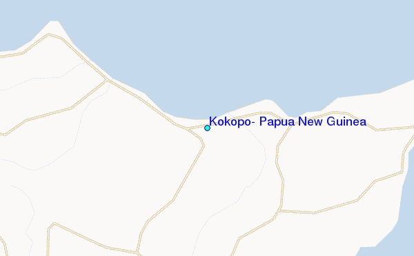
Use this relief map to navigate to tide stations, surf breaks and cities that are in the area of Kokopo, Papua New Guinea.
Other Nearby Locations' tide tables and tide charts to Kokopo, Papua New Guinea:
click location name for more details
 Surf breaks close to Kokopo, Papua New Guinea:
|
||
|---|---|---|
| Closest surf break | Raiven | 7 mi |
| Second closest surf break | Duke of York | 14 mi |
| Third closest surf break | Rubio | 62 mi |
| Fourth closest surf break | Simberi Island | 123 mi |
| Fifth closest surf break | Nago | 160 mi |


 Nearest
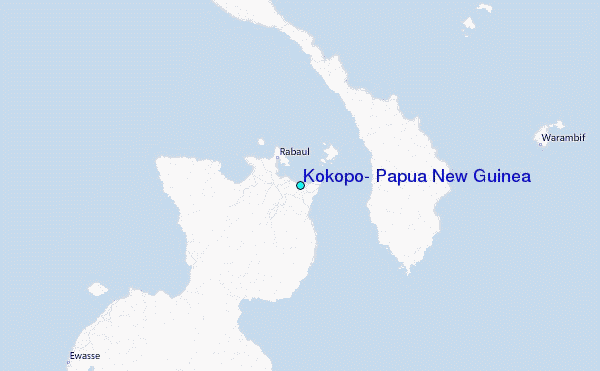