
| Distance / Altitude | Location | Report Date / Time | Live Weather | Wind | Gusts | Temp. | Visibility | Cloud |
|---|---|---|---|---|---|---|---|---|
| 143 km NE / 212 m | Havana/Jose Martí Airport (Cuba) | 2024-04-26 20:50 local (2024/04/27 00:50 GMT) | - | moderate winds from the E (20 km/h at 80) | 24°C | 9.0 | few | |
| 146 km NE / 75 m | AeropuertoJoseMarti- Rancho -Boyeros- Habana (Cuba) | 2024-04-26 20:00 local (2024/04/27 00:00 GMT) | Haze | moderate winds from the E (22 km/h at 80) | 25°C | 29 km | few | |
| 218 km ESE / 378 m | Cayo Largo D Sur Airport (Cuba) | 2024-04-26 20:50 local (2024/04/27 00:50 GMT) | - | light winds from the N (6 km/h at 1) | — | 9.0 | ||
| 221 km WSW / - m | SHIP5613 (ocean) | 2024-04-26 21:00 local (2024/04/27 01:00 GMT) | - | moderate winds from the SE (25 km/h at 130) | 21°C | - | no observation | |
| 236 km ENE / 213 m | Varadero Airport (Cuba) | 2024-04-26 20:50 local (2024/04/27 00:50 GMT) | - | light winds from the ENE (19 km/h at 70) | 24°C | 10.0 | few |
| Contours: | Roads & Rivers: | Select a
tide station / surf break / city |
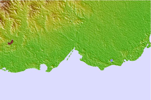
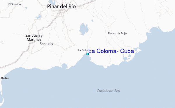
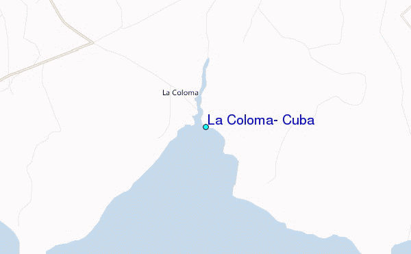
Use this relief map to navigate to tide stations, surf breaks and cities that are in the area of La Coloma, Cuba.
Other Nearby Locations' tide tables and tide charts to La Coloma, Cuba:
click location name for more details
 Surf breaks close to La Coloma, Cuba:
|
||
|---|---|---|
| Closest surf break | 7 Mile Beach | 245 mi |
| Second closest surf break | South Sound | 249 mi |
| Third closest surf break | East End | 258 mi |
| Fourth closest surf break | Naples Pier | 288 mi |
| Fifth closest surf break | Wiggins Pass | 301 mi |

 Nearest
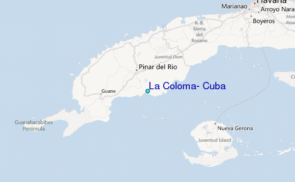