
| Distance / Altitude | Location | Report Date / Time | Live Weather | Wind | Gusts | Temp. | Visibility | Cloud |
|---|---|---|---|---|---|---|---|---|
| 26 km NNE / 794 m | San Salvador (El Salvador) | 2024-04-26 18:01 local (2024/04/27 00:01 GMT) | dry | calm (5 km/h at 226) | 23°C | - | - - 0 | |
| 30 km E / 209 m | EL Salvador International Airport (El Salvador) | 2024-04-26 16:50 local (2024/04/26 22:50 GMT) | - | light winds from the SW (13 km/h at 230) | — | 0.0 | ||
| 33 km NE / 544 m | Ilopango/San Salvador Airport (El Salvador) | 2024-04-26 16:50 local (2024/04/26 22:50 GMT) | - | moderate winds from the S (20 km/h at 170) | — | 8.0 | ||
| 59 km NW / 318 m | Santa Ana/El Palmer Airport (El Salvador) | 2024-04-26 16:50 local (2024/04/26 22:50 GMT) | - | calm (0 km/h at 0) | 32°C | 10.0 | few | |
| 91 km WSW / 452 m | Acajutla/Sonsonate Airport (El Salvador) | 2024-04-26 16:50 local (2024/04/26 22:50 GMT) | - | light winds from the WSW (6 km/h at 250) | — | 0.0 |
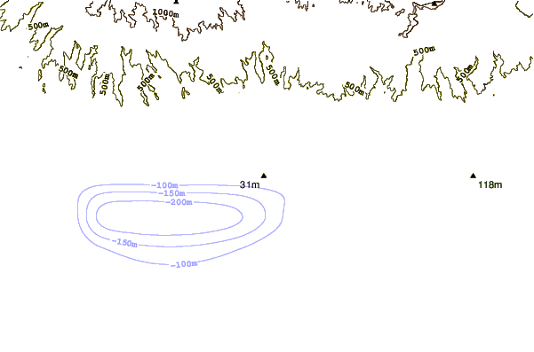
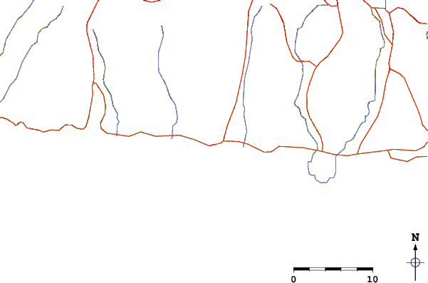
| Contours: | Roads & Rivers: | Select a
tide station / surf break / city |
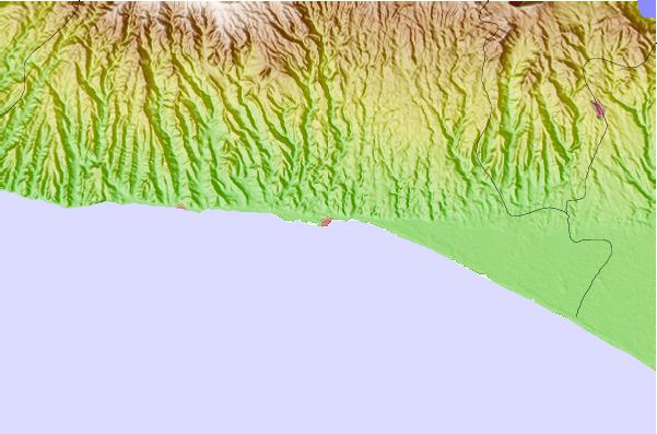
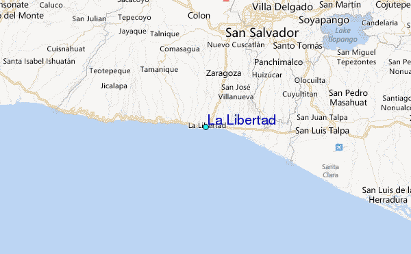
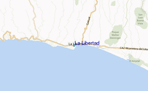
Use this relief map to navigate to tide stations, surf breaks and cities that are in the area of La Libertad.
Other Nearby Locations' tide tables and tide charts to La Libertad:
click location name for more details
 Surf breaks close to La Libertad:
|
||
|---|---|---|
| Closest surf break | La Paz | 1 mi |
| Second closest surf break | Punta Roca | 1 mi |
| Third closest surf break | El Muelle - The Pier | 1 mi |
| Fourth closest surf break | Fishermans Point | 1 mi |
| Fifth closest surf break | Conchalio | 1 mi |

 Nearest
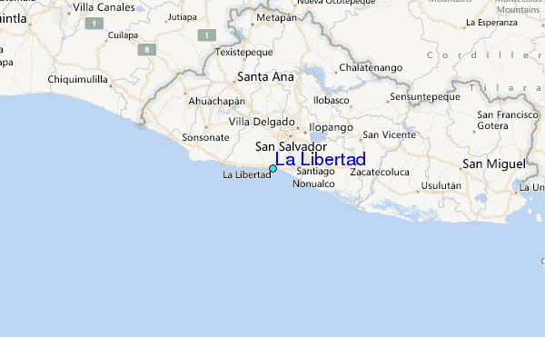