
| Distance / Altitude | Location | Report Date / Time | Live Weather | Wind | Gusts | Temp. | Visibility | Cloud |
|---|---|---|---|---|---|---|---|---|
| 13 km S / 15 m | SHIP10853 (Marine) | 2024-04-27 00:00 local (2024/04/26 22:00 GMT) | - (- km/h at -) | — | - km | |||
| 19 km NNE / 215 m | Nordholz Airport (Germany) | 2024-04-27 01:00 local (2024/04/26 23:00 GMT) | - | calm (4 km/h at 150) | 3°C | 31 km | - no observation - | |
| 28 km S / 1 m | Sandstedt wx (Germany) | 2024-04-27 01:03 local (2024/04/26 23:03 GMT) | - | wind obs. (6 kph from 331 degs) was rejected (- km/h at -) | 6°C | - | - - 0 | |
| 29 km NNE / 222 m | Cuxhaven (Germany) | 2024-04-27 00:00 local (2024/04/26 22:00 GMT) | no report | calm (4 km/h at 180) | 6°C | 40 | - | |
| 42 km WNW / 30 m | Leuchtturm Alte Weser (Germany) | 2024-04-27 00:00 local (2024/04/26 22:00 GMT) | no report | light winds from the SW (7 km/h at 220) | 8°C | - | - |
| Contours: | Roads & Rivers: | Select a
tide station / surf break / city |
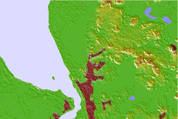
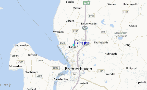
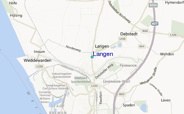
Use this relief map to navigate to tide stations, surf breaks and cities that are in the area of Langen.
Other Nearby Locations' tide tables and tide charts to Langen:
click location name for more details
 Surf breaks close to Langen:
|
||
|---|---|---|
| Closest surf break | St Peter Ording | 50 mi |
| Second closest surf break | Norderney | 58 mi |
| Third closest surf break | FKK Stand | 76 mi |
| Fourth closest surf break | Jugendbad | 78 mi |
| Fifth closest surf break | Kilometerstein Vier Hornum (Sylt) | 80 mi |

 Nearest
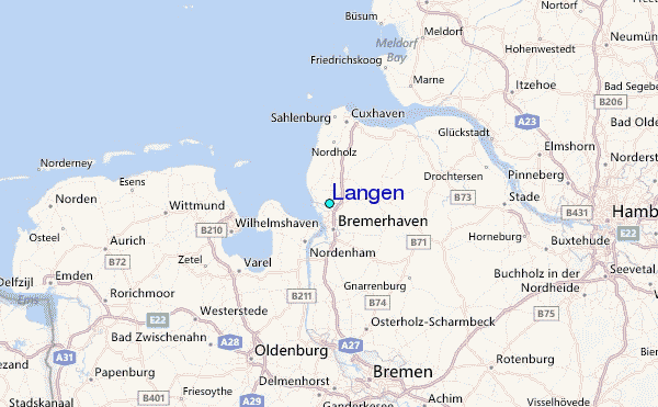