
| Distance / Altitude | Location | Report Date / Time | Live Weather | Wind | Gusts | Temp. | Visibility | Cloud |
|---|---|---|---|---|---|---|---|---|
| 9 km W / 171 m | Rivière Lézarde wx (Martinique) | 2024-04-25 22:23 local (2024/04/26 02:23 GMT) | dry | calm (0 km/h at 356) | 25°C | - | - - 0 | |
| 11 km SSW / 214 m | Le Lamentin/Martinique Aimé Césaire International Airport (Lesser Antilles) | 2024-04-25 21:30 local (2024/04/26 01:30 GMT) | Dry and partly cloudy | light winds from the E.(Wind varies from 060 to 120 degs) (11 km/h at 90) | 27°C | 10.0 | few scattered | |
| 80 km SSE / 3 m | SHIP857 (Marine) | 2024-04-25 21:00 local (2024/04/26 01:00 GMT) | - (- km/h at -) | 27°C | - | |||
| 100 km NW / 339 m | Melville Hall AR Airport (Dominican Republic) | 2024-04-25 21:00 local (2024/04/26 01:00 GMT) | Dry and partly cloudy | light winds from the ESE (11 km/h at 120) | 27°C | 10.0 | scattered | |
| 103 km S / 188 m | Hewanorra International Airport (Lesser Antilles) | 2024-04-25 21:00 local (2024/04/26 01:00 GMT) | - | fresh winds from the E (31 km/h at 90) | 27°C | 10.0 | few |
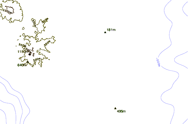
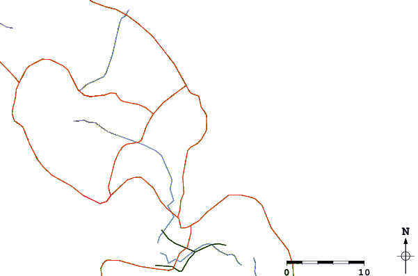
| Contours: | Roads & Rivers: | Select a
tide station / surf break / city |
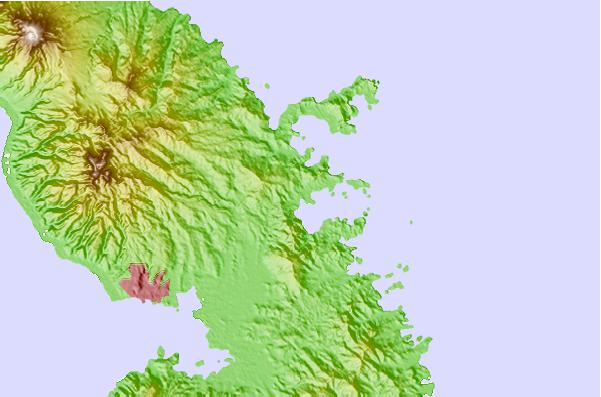
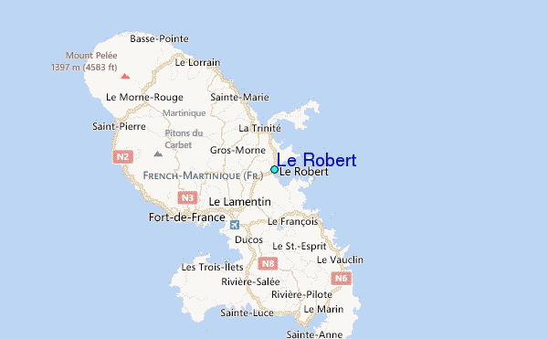
Use this relief map to navigate to tide stations, surf breaks and cities that are in the area of Le Robert.
Other Nearby Locations' tide tables and tide charts to Le Robert:
click location name for more details
 Surf breaks close to Le Robert:
|
||
|---|---|---|
| Closest surf break | Cocoa | 6 mi |
| Second closest surf break | Pelle a Tarte | 7 mi |
| Third closest surf break | Plage des Surfeurs | 7 mi |
| Fourth closest surf break | Charpencaye | 10 mi |
| Fifth closest surf break | Le Lorrain | 14 mi |

 Nearest
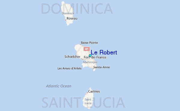